
Proposed talk at both SOTUM and HOTOSM conferences!!
English телендә jonwit21 March 2015 баҫылып сыҡты.
Hello community,
I joined your group six months and am having a great time. I got involved through attending the Missing Maps group helping to trace satellite imagery.
While vacationing in the Balkans last year I kept running into minefield hazards signs being put up and from my time helping build OSM I haven’t encountered that layer yet. In some parts of the world I can imagine that being a hidden but important part of the landscape.
Being as I am new to this community I figured I could ask what there is out there.
There are a few discussions out there on it. 1.[Road Barrier] (osm.wiki/Talk:Key:barrier#Mine_field) 2.[Hazard] (osm.wiki/Talk:Proposed_features/hazard)
As well as a few nodes and areas already tagged [tag 1] (osm.org/node/3023658093#map=13/45.2779/16.9406&layers=HN)
My abstract. A discussion on the threat and awareness of minefields worldwide and how HOT/OSM can help. Between 1999 and 2008 in 119 countries 73,576 casualties have been reported (Landmine Monitor Report 2009: Toward a Mine-Free World ). In many countries daily life along with tourism is affected as areas are to hazardous to venture into. The general public has a short term memory with regards to hazards (i.e. warning signs get taken down, the international community loses interest). Building a open source database could be a great asset to the world. Currently there are no OSM attributes for minefields or hazards however there are proposals for them.
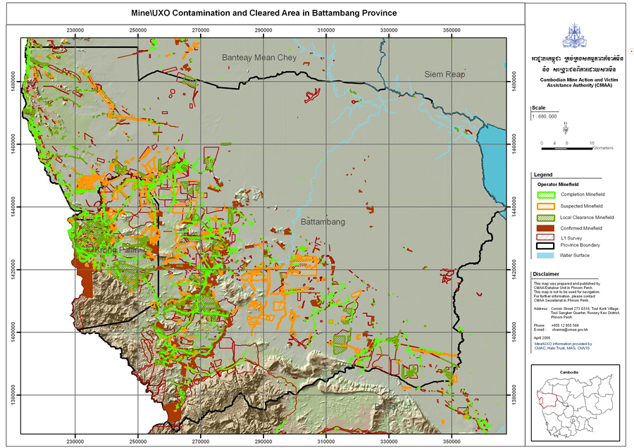
A quick search on minefield maps


Фекер алышыу
Warin61тарафынан22 March 2015 cәғәт 04:30көндө ҡаралған
There are many areas of the world with active land mines.
Some use the proximity warning system of their GPS to warn them of the approach of a land mine area .. similar to speed cameras but with a possibly greater penalty. I think that is a good approach as the GPS can give an audio warning as well as a screen message.
Having them on the map too may benefit trip planning.. Oh .. some are not ‘land mines’ but unexploded bombs… Some place you are advised not the leave the road … Need to pee? Do it on the road… There is a bit of ‘local’ information that goes with the ‘land mine danger’ information. But I see no reason for it not to be mapped .. as a node/way/area.
Hedajaтарафынан22 March 2015 cәғәт 12:14көндө ҡаралған
A possible way to tag: http://taginfo.openstreetmap.org/tags/hazard=minefield#overview
jonwitтарафынан22 March 2015 cәғәт 19:03көндө ҡаралған
Thank you @Hedaja. It seems like the area is lacking in tagging.
Its something for either individuals with local knowledge or NGOs with databases.
For example the UNDP in Bosnia UNDP in Bosnia issued a series of maps showing flooding and mines from the series of floods in the area.
Unexploded ordinances are also a factor as well.
The question is whether such features should be mapped on openstreetmap or kept in a separate database that can be overlaid on top of openstreetmap when needed.
pizzaioloтарафынан22 March 2015 cәғәт 21:42көндө ҡаралған
I don’t see why we wouldn’t map it. It seems like a terribly important aspect to leave out.
DaCorтарафынан23 March 2015 cәғәт 18:23көндө ҡаралған
I’d map a field of corn, I’d map a minefield. There’s no difference in terms of mapping
butrus_butrusтарафынан26 March 2015 cәғәт 15:15көндө ҡаралған
Wouldn’t landuse=minefield be a more consistent way than hazard=minefield?
jonwitтарафынан26 March 2015 cәғәт 15:35көндө ҡаралған
Landuse is defined as: Mainly used for describe the primary use of land by humans.
They could be classified under landuse=military however….
I could argue that the main goal of a minefield would be to prevent the movement or use by humans.
I am going to argue that
Hazard is a proposed feature that could provide more depth.
I am also new to openstreetmap and so a more seasoned individual would be able to offer more valuable insight.
jonwitтарафынан26 March 2015 cәғәт 15:39көндө ҡаралған
Even in the oceans we have these features
dieterdreistтарафынан30 March 2015 cәғәт 10:31көндө ҡаралған
another possible tagging could be military=danger_area and than another tag to subtype the danger area, e.g. danger_area=minefield. Not sure if mine fields can be considered in all occassions “military”, while I’d definitely consider landmines military equipment in all instances.
didi_X3тарафынан11 June 2015 cәғәт 02:30көндө ҡаралған
I also think minefields belong into OSM. Not sure however what’s the best way to tag it. As far as I understand most of the time approximate areas are known where there’s elevated risk of mines. While “military=danger_area” sounds like a good idea for areas which are really known as contaminated and often also have warning signs in place in the real world, it’s more difficult for areas where there may or not be mines. In the latter case, the military tag may not be appropriate. Example Bosnia: I recently added a lot of roads, tracks and paths, mostly based on sat images. However I’m now not so sure if that was a good idea, because some of those may be in dangerous areas, maybe without any signs in place (because distant from populated areas). The highest res mine map I could find online is http://www.jmu.edu/cisr/journal/9.1/Focus/marsic/hocevar_adriatic2_cmyk300.gif. That’s not enough for understanding where exactly those minefields are. I’ll try to find out more…
jonwitтарафынан11 June 2015 cәғәт 15:10көндө ҡаралған
You can find my presentation at the HOTOSM summit as well as other information on the project page I started. I plan to update the project page with more relevant information soon and start cleaning up the dataset further. New diary post soon!!
[MissingMinefields Project Page] (http://missingminefields.github.io/) 2015 Presentation
The JMU website you found the Balkan map from is from the Journal of Mine Action. Bosnia Profile Page. The dataset used for this is controlled by the Bosnia and Herzegovina Mine Action Centre (BHMAC). Like other datasets they need to release it under the same license as OSM for us to incorporate it into the dataset.