
My investigations of the Bosnian Pyramid Complex have begun
Käyttäjä jonwit kirjotti tämän 30. Julya 2016 kielellä Englishzdravo,
I have decided to begin verifying claims the there are a set of ancient pyramid structures) just north of Sarajevo near the town of [Visoko] (osm.org/way/189725592#map=17/43.97682/18.17845&layers=D) and making a better map of the area. After vacationing last year and visiting the site myself I felt the directions to this tourist attraction was lacking. I also felt that the investigators needed help with their claims.

For those unfamiliar with Visoko’s #1 thing to do based on tripadvisor
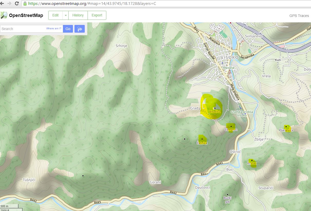 Highlighted areas show the “pyramids”
Current Tourist Map
 There is no pyramids on the map
Other Tourist Sites
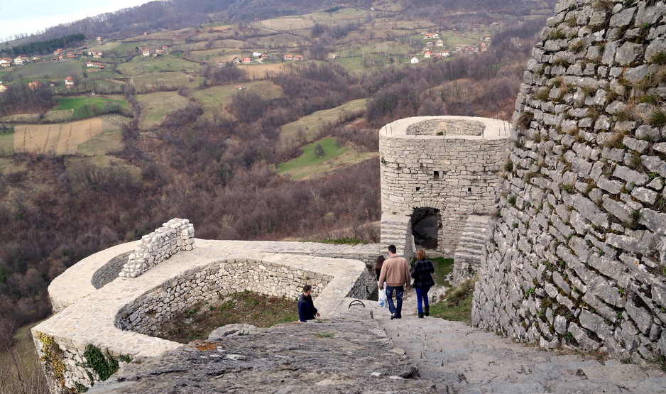
There is many more things to see and do in the area including the 14th century castle known as Stari Grad Visoko
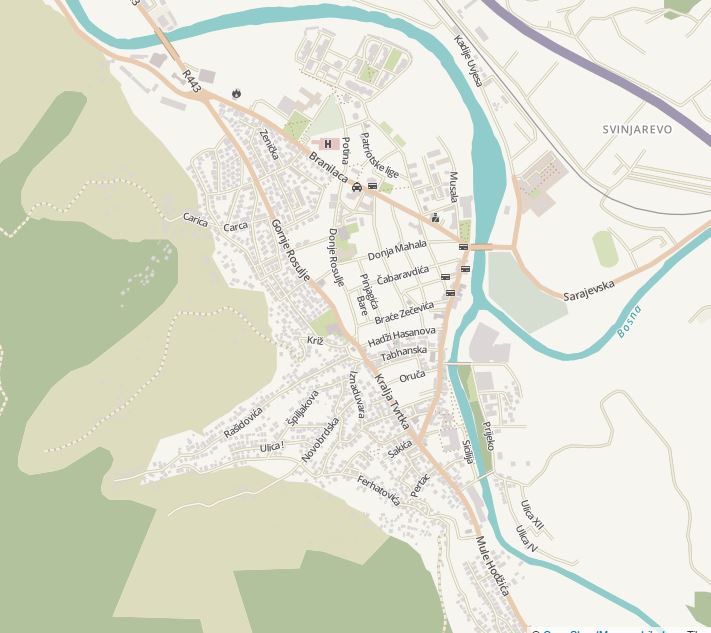
Constructing the basemap
Most of the buildinga were missing and as its easy to do armchair mapping I begun the process mapping all the buildings in the western area of Visoko.
The current landuse dataset is from a 2006 landcover dataset that while accurate does not reflect the actual landcover. This will be modified to accurately reflect the landcover
Discussion
Kommentti käyttäjältä BushmanK 30. July 2016 klo 17.32
When someone starts talking about investigating certain claim, isn’t it required to define criteria, required for confirming it? I mean, like, presence of straight geometric shapes, for example. Or equal dimensions (linear or angular).
Kommentti käyttäjältä jonwit 1. August 2016 klo 16.16
You are absolutely correct @bushmanK. There are many lines of evidence they are using to claim the pyramids are valid (i.e. beams of lights emitting from them, angles and distances to each other, ect. ect.). I am still collecting the datasets to validate these claims. Check back for part 2!!
Kommentti käyttäjältä BushmanK 1. August 2016 klo 21.48
Oh, light beams and angels… I see. OpenStreetMap is very, very diverse…
Kommentti käyttäjältä jonwit 2. August 2016 klo 02.42
Just light beams. The angels are in another area of the country. I didn’t even mention the Giant Stone Ball Mystery from this year. I got lost trying to find the place and leaving it as well. It’s sadly a big tourist attraction in Bosnia.