
I had a fantastic week in Bengaluru the amazing tech hub in India’s south with Shiv and Eric connecting with startups, NGOs, data geeks and geo community. We were part of an OpenStreetMap Geo BLR meetup and the #osmegeoweek mapping party and the turnout for both events was great. We had fun rigging rickshaws with Mapillary and we met inspiring mappers like PlaneMad and NGOs like Kalike mapping rural areas on OpenStreetMap.
Watch India, the map is growing fast! Good places to connect are the India mailing list, the Datameet Google group and in Bengaluru specifically, the GeoBLR meetup group
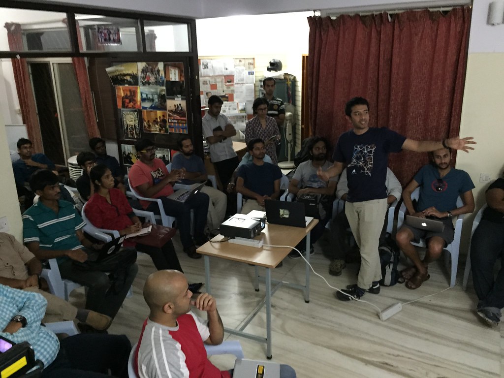
Geohacker presenting how the Moabi project uses OpenStreetMap software to track forest health in the Democratic Republic of Congo.
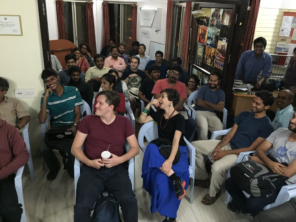
Great crowd at the GeoBLR meetup hosted at the Centre for Internet and Society.
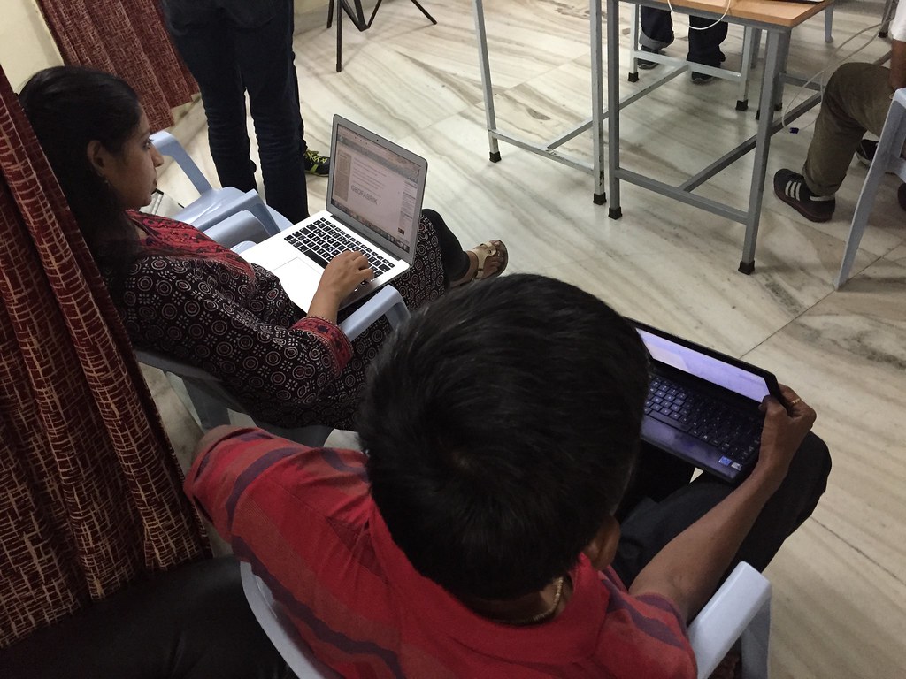
Getting hands on with OpenStreetMap tools.
Intros at the OpenStreetMap mapping party.

Rickshaw mapping with Mapillary - here’s the track.

Trafodaeth
Sylwadau gan Warin61 ar 25 Tachwedd 2014 am 04:46
Hi, Heaps of mapping to be done. For roads Nice to get the locals involved. :) Though you have to watch the ‘short cuts’ they may make from time to time. There is a fair bit of India’s country side not mapped either.
POI As a tourist I’m interested in restaurants, toilets, parks, train stations, air ports, theaters, shops, police stations, hospitals .. these would be of interest to locals too Then historic sights, hotels - less interesting to locals..
I’m primarily correcting routing errors - mainly roads not joined together. But while I’m there .. I do see other things that I correct if I can. But nothing beats a local on the ground.
Good luck people.