
Happy 10th Birthday OSM. What's your OSM story?
ایہہ 8؍August 2014ء English وچ «maning» لیکھ چھپیا گیا سی۔(Re-posted from the talk-ph list.)
I discovered OSM around Jan 2006 (user# 1417) while trying to look for PH vector data I need for a research. Free geographic data in the PH back then is very limited. The idea of building it from scratch got me interested. However, I wasn’t able to edit right away because I can’t get the then java-based web editor to run. ~10 months later I stumbled upon JOSM in the wiki and created my first node.
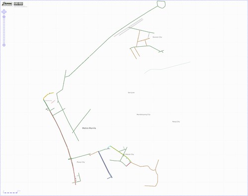
The oldest rendering I was able to save was this. As far as remember, it was Mike Collinson who made those edits. After several borrowed, hacked, broken, lost GPS since, Marikina is still not complete. So, I’m still here mapping.
Discussion
ایہہ 8؍August 2014ء 20:51 تے «escada» ٹپݨی کیتی گئی سی۔
I only started in April 2011. I discovered OSM when I was looking for a cheap map for my new Garmin. After noticing that some paths were missing in my neigborhood, I started mapping. And became addicted :-)