
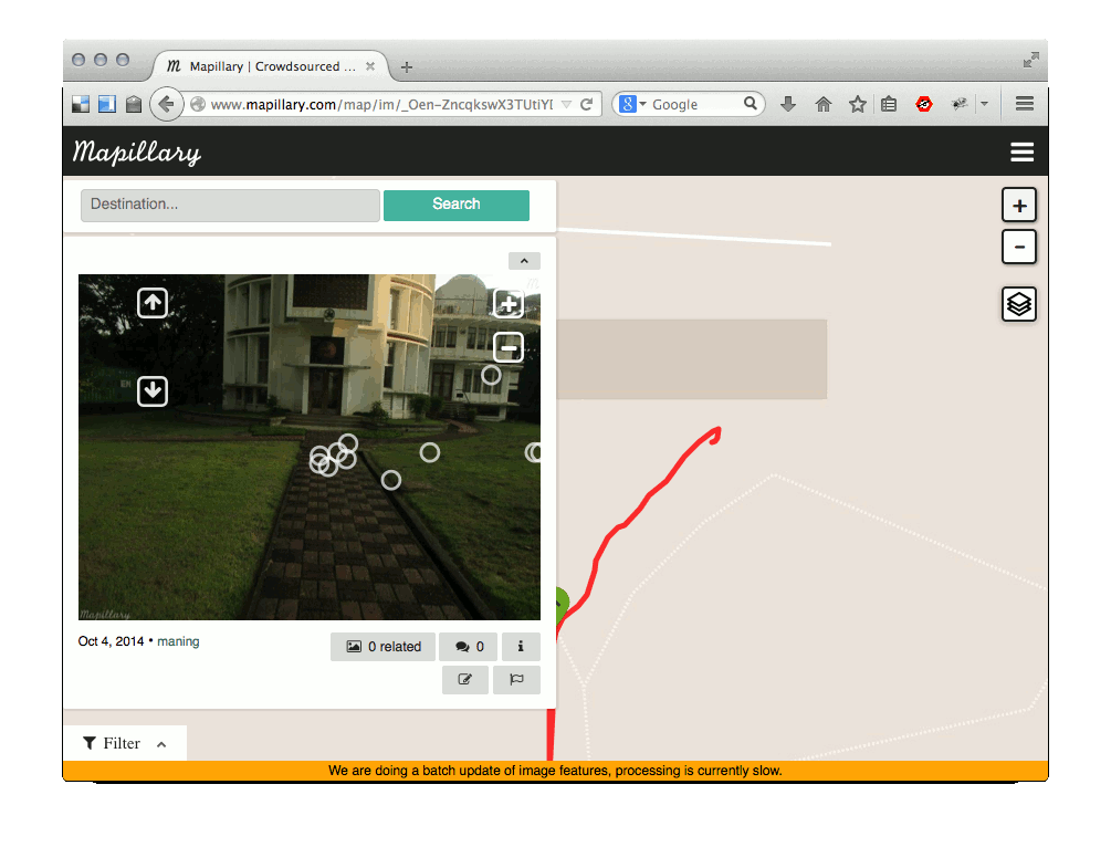
Short post. Testing mapillary around my area.
Crowdsourcing geotagged photos is not a novel idea, but, one thing that attracted me to mapillary is the friendliness to OSM.
Maybe a longer post on my rig and experience later.
Short post. Testing mapillary around my area.
Crowdsourcing geotagged photos is not a novel idea, but, one thing that attracted me to mapillary is the friendliness to OSM.
Maybe a longer post on my rig and experience later.
Diskussion
Kommentar von bigopenmac am 9. Oktober 2014 um 11:39 Uhr
Thank you for this info! An interesting service, my city is empty in this project. A good incentive to be in the forefront.
Kommentar von bigopenmac am 9. Oktober 2014 um 12:54 Uhr
But i have a trouble with a showing photos in browser. I see only map with blue line. Where should I click to see a photo from this blue line?
Kommentar von maning am 9. Oktober 2014 um 13:03 Uhr
I’m getting the same issue sometimes (I’m blaming my ISP). Just try clicking the blue line to see photos. You can also file a bug report at mapillary’s github account.
Kommentar von bigopenmac am 10. Oktober 2014 um 11:52 Uhr
Today I can see my yesterday’s photos without problem. I think it need several hours to finish processing photos on Mapillary server.
Kommentar von d1g am 10. Oktober 2014 um 22:09 Uhr
Cool but there big missing features for me: - video support - extended reality in phone (when you see OSM POI at display while you shoot something) - self-hosting, free (libre) server side