
One of the on-going initiatives by the local OSM Philippine volunteers is to go to local communities to assist in training the local population to update and use OSM for disaster risk reduction.
One partnership we are nurturing with is the DRR mapping work by the Philippine and Swiss Red Cross in small island communities in Busuanga, Palawan. Last April 2015, mappers GOwin, feyeandal and dichapabe, went to Busuanga to start the mapping community with the local government and Red Cross volunteers. After the training the online mapping community lead by GOwin continues to assist the Busuanga mappers in updating the maps.
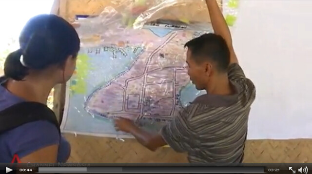
This work was featured in an article in Channel News Asia.
By combining local knowledge and OSM tools, we hope to continue building the local mapping capacity and data that will empower communities to respond to any crisis.
討論
由 russdeffner 於 2015年06月10日 15時18分 發表的評論
Excellent! Thank you for the information Maning, keep up the good work!
=Russ