
Once again, we had another mapping event. This time, in Tagbilaran City, Bohol. This is part of the series of crowdmapping events co-organized by The Asia Foundation and its local partners. The first was in Iloilo City last May 2015.
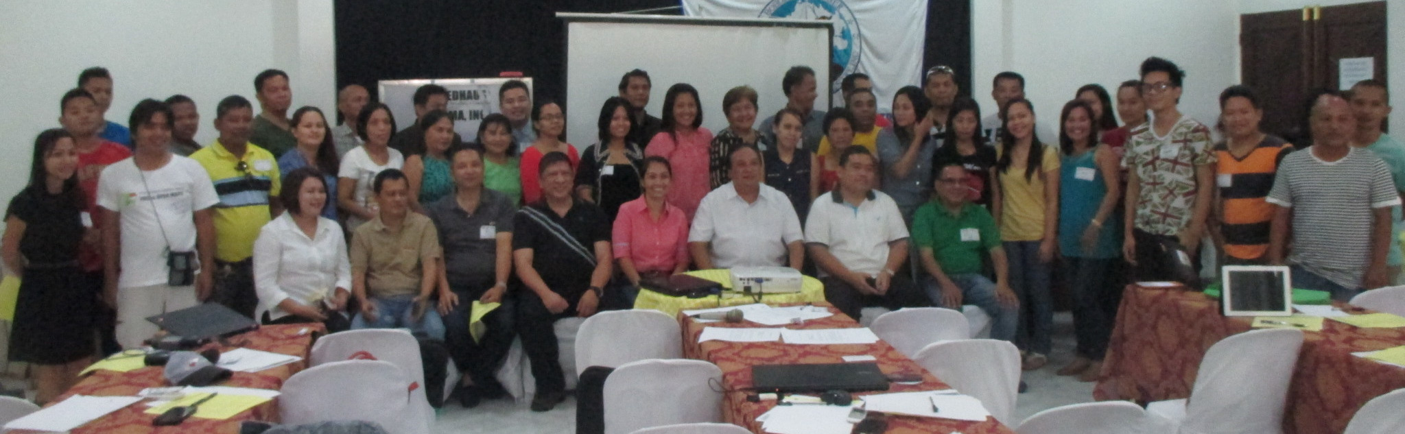
During the event, Bohol Governor Edgardo Chatto welcomed all the mappers and expressed his support to implement this initiative for the whole province of Bohol.
Bohol’s major income is tourism. However, when the 7.2 earthquake hit the island in 2013, the tourism industry was heavily affected. On the other hand, judging by the number of tourists (local and foreign) who was with me during the flight, I think tourism is now recovering. What a better way to help by providing a good map not only for the tourists but also for the local community!
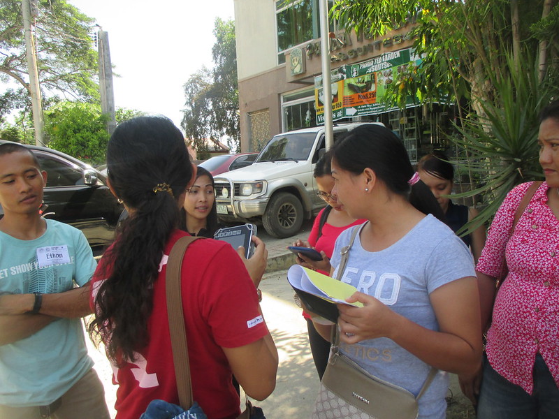
The local partner of The Asia Foundation is the local chamber of commerce. Naturally, we focused on collecting business and tourism related map data during the field exercise.
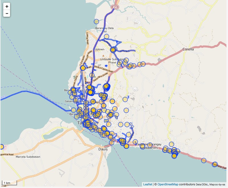
Using phones powered by OSMAnd, we collected and updated pois: 451, lines: 94, polygons: 168.
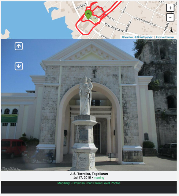
I joined one of the field teams and also took the opportunity to kickstart crowdsourcing streetviews using Mapillary.
Other than several hiccups with the internet, the organizers did a very good job in managing the event. I hope the map data we collected will help in expanding the mapping community and help the province in revitalizing its tourism industry.
More notes/photos and map updates in this page: http://maning.github.io/taf_crowdmapping/tagbilaran.html
Discussion
Comment from mustafakamil on 21 July 2015 at 18:42
wow good job
Comment from GOwin on 22 July 2015 at 01:37
Good job, Maning!
Yey for OsmAnd!