
The idea of using passive data into OpenStreetMap is not new. Even during the early days of OSM, this concept was already discussed. What I mean by passive here are data sources that is not originally intended for use in OSM. This usually comes from third party services which gave permission to use their data into OSM. We are getting more of this recently and has helped me in improving my own mapping patch.
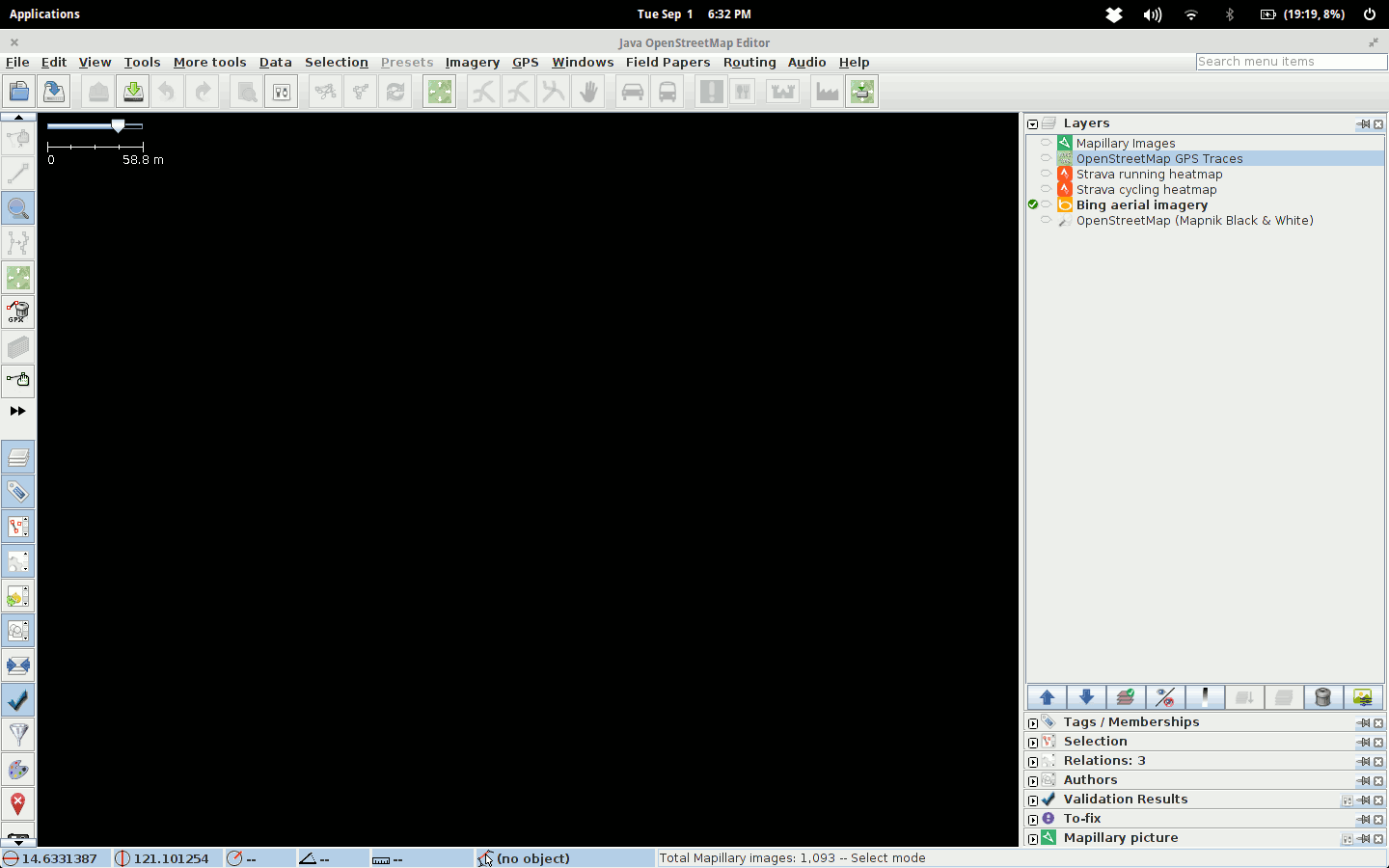
Animation below shows data from OSM public traces[0], Strava and Mapillary[1].
However, I don’t think the idea of purely using passive data (where automatic data correction and update is done) will be possible in OSM. User input will always be needed.
[0] OSM public traces does not really qualify as passive data since many of them were uploaded for the purpose of mapping. However, I’ve seen many tracks in the Philippines that were uploaded and was not edited by the original user who uploaded the it.
[1] Again, Mapillary coverage here is mostly my own and use it primarily for updating the map. So tehcnically not passive data, but, it does comes from a third party website.
討論
由 Sunfishtommy 於 2015年09月 2日 03時41分 發表的評論
How did you get the Strava data like that? I would love to try and use Strava data with my mapping.
由 maning 於 2015年09月 2日 03時52分 發表的評論
@Sunfishtommy , Strava heatmap are available in iD and JOSM as background layer. See this entry in the wiki: osm.wiki/Strava#Data_Permission_-_Allowed_for_tracing.21