
For the next couple of weeks, I will be leaving OSM editing in Metro Manila
[osm.org/?lat=14.5947&lon=121.0324&zoom=12&layers=B0FT]
for a while. I believe there are a number of mappers who can continue this (11 mappers in Metro Manila already) [osm.org/user/maning].
I have posted last month in the OSM mailing list about public domain maps we can use for OSM. [http://lists.openstreetmap.org/pipermail/talk/2008-January/022545.html]
These out-of-copyright maps roughly showing major highways around the country circa 1940s-50s. [http://farm3.static.flickr.com/2125/2233868748_a3614bc358.jpg?v=0]
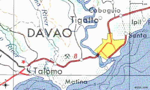
I now have most of the sheets around Mindanao Island rectified and can access them with JOSM. For the meantime, I will focus my effort towards "seeding" Mindanao,
[osm.org/?lat=7.78&lon=124.53&zoom=8&layers=B0FT]
then work northward to Visayas and then back to Luzon. My rectification is by no means "uber" accurate so manual editing maybe needed by local mappers in these areas. My goal is to provide a skeletal network for others to continue mapping.
cheers,
maning
Trafodaeth