LA Building import hit >2M buildings and next steps
Posted by manings on 12 December 2016 in English.Back in July, we talked about the Los Angeles building import hitting > 1 million mark for LA City and last month, we already imported 2 million buildings covering the rest of the county. We are not finished yet ;)
Read on for what we are doing in the last couple of months.

Downtown LA City in 3d
MaptimeLA in Catalina Island
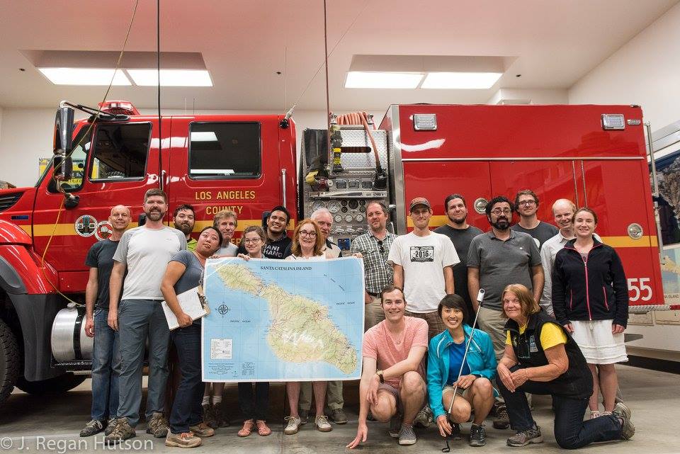
The local community through @MaptimeLA has also been busy validating the data on the ground. A few of them took a ferry to Catalina Island for an awesome mapping weekend! Aside from validating the imported buildings, they added local features and Mapillary street/trail level photos across the island.

MaptimeLA explorers in Catalina Island, photo by J. Regan Hutson
Updated imported data for 2008-2014
Also last month, LA County GIS released an update to the building data covering changes from 2008-2014. The team decided to pause importing buildings to check the new dataset. The data is now ready and mappers can continue the import starting with Malibu & Santa Monica Mountains.

New buildings (2008-2014) are now available for import
What about the previously imported buildings?
We are reviewing the best strategy to update areas with already imported buildings. Conflation is challenging and we need to make sure that data already improved by mappers won’t be damaged unnecessarily. If you have thoughts on this, hit us on gitter or the project’s repo.

Discussion