
Blog von marthaleena
Neueste Einträge
Buildings Mapping
Verfasst von marthaleena am 3. März 2020 in English Zuletzt aktualisiert am 27. Oktober 2020.Recently have been mapping a few building near Minot using Bing imagery. The buildings tool of JOSM has been really helpful in mapping them. It took me around 2.5-3hrs to map ~438 buildings.
I would like to share a few simple shortcuts which can be helpful for beginners:
- B - Enabling Building Plugin
- X - Extrusions and Intrusions
- I - Select connected buildings
- Shift + J - Merge the connected buildings to one
- Shift + C - Curved way ( Need to have a 3 point way)
- Shift + O - Circular way ( Need to have a 2 point way)
- O - Makes the way Circular
- C - Combine ways
- Shift + Option - Rotate the object
- Ctrl + Option - Slanting height when used while extrusions
- Cmd + C - Copy buildings
- Cmd + V - Paste Buildings
(Copy and paste buildings is only helpful when the building are similar is shape and size.)
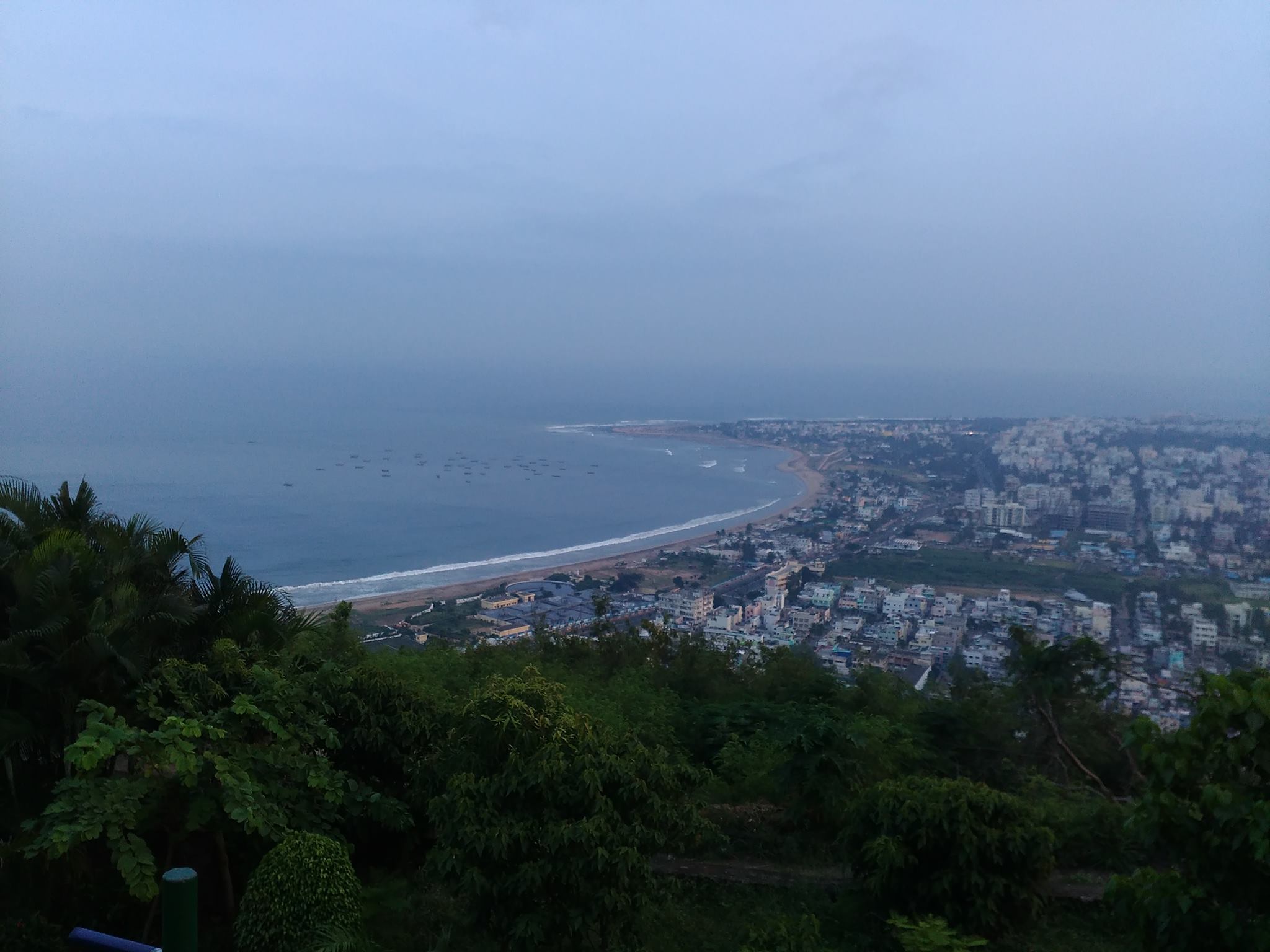 Photo taken from wikipedia
విశాఖపట్నం సుందరమైన దృశ్యాలకు ప్రసిద్ధిగాంచింది. అందుకు దానిని “గమ్యపు నగరం” అని కూడా అంటారు. సాగర తీరాన ఉన్న పార్కులు,రిసార్ట్ లు కనులవిందు చేస్తాయి. అనేకమంది తీరాన్ని వీక్షించడానికి వస్తారు. నాకు సాగర తీరం వద్ద బంధుమిత్రులతో అనేక మధుర జ్ఞాపకాలు ఉన్నాయి. నేను నివసించే ప్రదేశం మహారాణిపేట, అది జగదాంబ సెంటర్ కి చాలా దగ్గరగా ఉంటుంది . ఈ సెంటర్ బట్టల దుకాణాలతో, సినిమా హాళ్ళతో , రెస్టారెంట్లతో నిండి ఉంటుంది. కావున ఎప్పుడు జనాలతో రద్దీగా మరియు సందడిగా ఉంటుంది.