menorman piezīmes
Piezīmes, kuras veidojis vai komentējis menorman
| Id | Veidotājs | Apraksts | Izveidots | Pēdējā izmaiņa | |
|---|---|---|---|---|---|
| 4697889 | menorman | Unable to answer "What barriers are used at this railway crossing?" – Railway-Road Crossing – osm.org/node/174589982 via StreetComplete 60.3: No longer an at-grade crossing, overpass has been built instead Attached photo(s):
|
|||
| 4694807 | menorman | Unable to answer "Who is the operator of this charging station?" – Charging Station – osm.org/node/3660988381 via StreetComplete 60.3: Unnetworked Clipper Creeks Attached photo(s):
|
|||
| 3271564 | menorman | Unable to answer "What’s the width of this road here?" for osm.org/way/238213482 via StreetComplete 41.2: Intersection |
|||
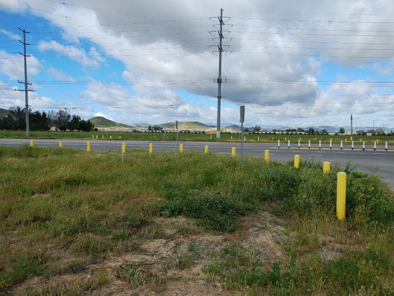
| 4166246 | menorman | Unable to answer "What barriers are used at this railway crossing?" – Menifee Rd (Railway-Road Crossing) – osm.org/node/54480581 via StreetComplete 57.1: Crossing is currently razed Attached photo(s):
|
|||
| 4361918 | menorman | Unable to answer "How wide is the road here?" – Doolittle Drive [CA 61] (Primary Road) – osm.org/way/618988048 via StreetComplete 58.2: Intersection |
|||
| 2567182 | menorman | Unable to answer "What is the name of this road?" for osm.org/way/475034357 via StreetComplete 31.0: Turn pocket |
|||
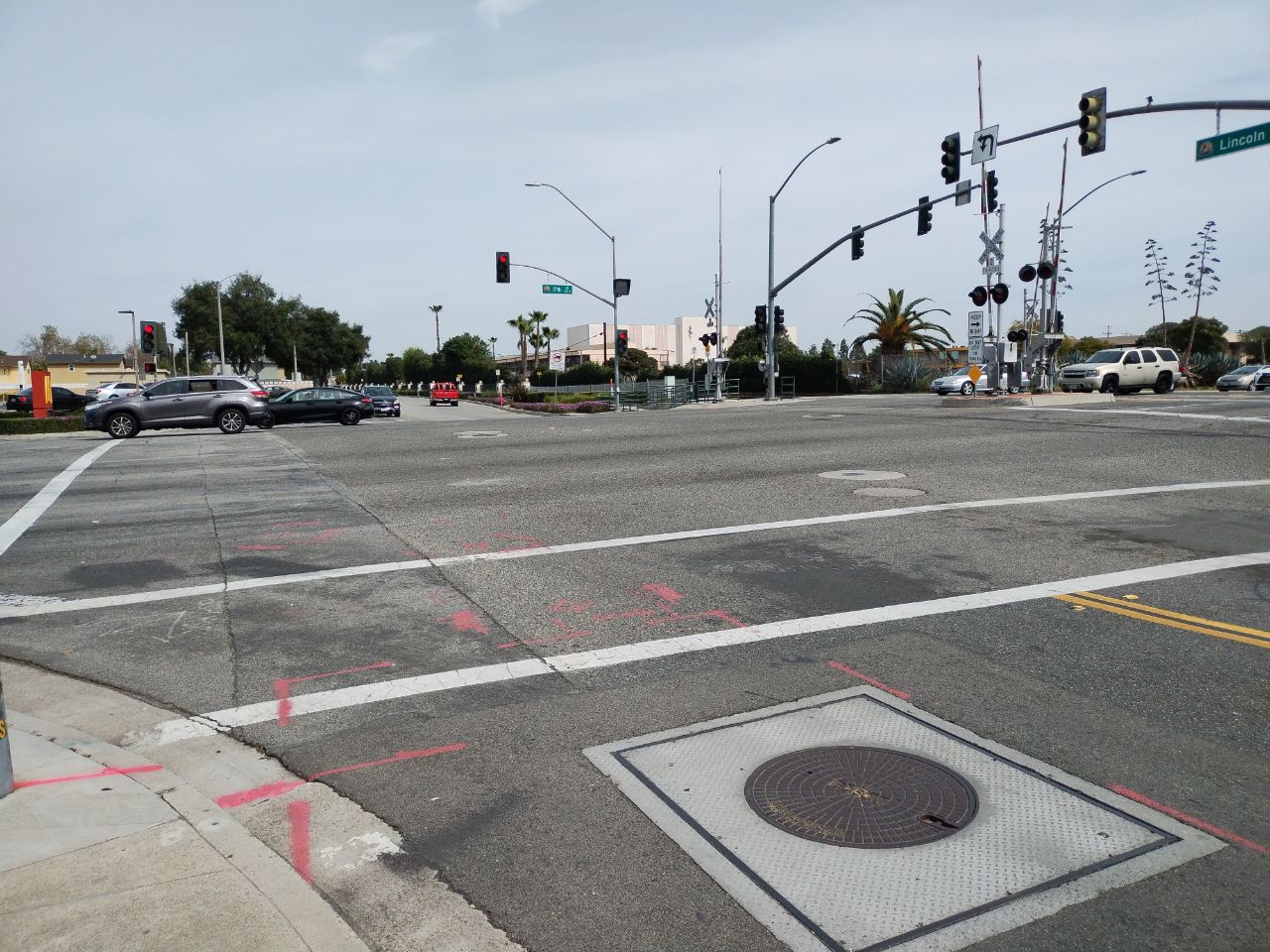
| 4147836 | menorman | Unable to answer "How wide is the road here?" – Lincoln Avenue (Tertiary Road) – osm.org/way/405499019 via StreetComplete 57.1: Intersection Attached photo(s):
|
|||
| 2504466 | menorman | Unable to answer "What kind of building is this?" for osm.org/way/775169811 via StreetComplete 29.1: Juvenile detention |
|||
| 2504467 | menorman | Unable to answer "What barriers are used at this railway crossing?" for osm.org/node/526772415 via StreetComplete 29.1: Not public |
|||
| 3271566 | menorman | Unable to answer "What’s the width of this road here?" for osm.org/way/239655130 via StreetComplete 41.2: Intersection |