
Do OSMTrack on iPhone refers only GPS data, or also refers iOS map?
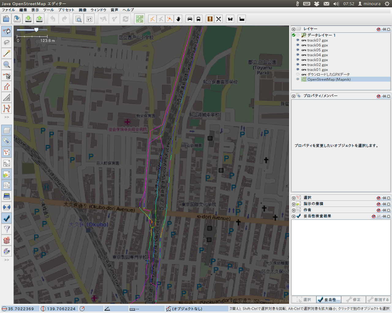
minourii님이 English로 2013년 5월 4일에 게시함.The images on the following URLs show GPS tracks obtained using OSMTrack on iPhone4S. I get these tracks on the train (Yamanote-line) in Tokyo.
http://farm9.staticflickr.com/8411/8708922810_40a935b8d0_o.png
http://farm9.staticflickr.com/8539/8708922902_4bc8453d24_o.png
It is strange that some part of the tracks seems to follow the road, instead of railways. I suspect that GPS data on iOS might refer road data (but not railways) of Apple Map and tries to snap on the nearest road when it is moving fast enough.
How do you think? Please try with your iPhone, if you have.
If my speculation is true, OSMTack on iPhone is no longer suit for OSM mapping.
토론
2013년 5월 5일 01:33에 AndrewBuck님의 의견
You need to check the option in the map app you are using to make the GPS traces. Some apps will try to snap the GPS fix to the nearest road. You need to make sure you are not doing this as if you do, the snapped tracks will inadvertantly copy the apple maps road data into our GPS database which could introduce copyright issues. If the app you are using uses OSM as the map data then the snapping is less of a problem copyrightwise, but still makesthe gps data less useful for trying to improve the map by aligning imagery, etc. IT could just be errors though too, hard to say, although it does look fairly precise just to be an error that just happens to follow the road.
-AndrewBuck
2013년 5월 6일 03:45에 minourii님의 의견
Thanks Andew, As far as I know, iOS or this App does not have options for choosing whether snapping to the road or not. My speculation is that the behavior of GPS library in iOS might be rewritten recently without any announcement when Apple released iOS map or updated iOS.