QROTI bus stop import (Brisbane, Australia) positioning complete
Postiwyd gan morb_au ar 12 Mawrth 2009 yn EnglishFurther to osm.org/user/morb_au/diary/5421
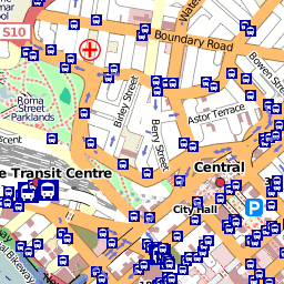
All the known QROTI positions have now been entered into OSM.
The merging took longer than I first estimated. Not simply because my neighbourhood mappers had already entered a lot of positions (not that I mind that), but also because the JOSM merging sometimes did not delete the "before" nodes. So there were a few duplicates around for a few days.
The next step is to backport some changes where the previous OSM position was clearly more up to date than the QROTI version. This is most obvious in the Waterworks Road and Lutwyche Road corridoors. i.e. it'll look like I've gone quiet for a while.
Next phase after that is to attach the QROTI routes to the stops just imported and/or complete the import of the rest of the QROTI stop metadata.
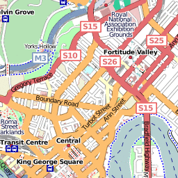
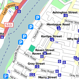
The above are preview tiles of an alternate Mapnik rendering that emphasises transport networks (including bus stop names). Just playing with it for now.


Trafodaeth
Sylwadau gan HannesHH ar 12 Mawrth 2009 am 15:17
Great work. :)