mvexel's Comments
| Changeset | When | Comment |
|---|---|---|
| 162924701 | 5 months ago | Thanks tcarlisle. I've seen your edits around and they've been great so I was a little surprised. I am curious how you found out about our meetups - I hope you can make it sometime! That would be great! |
| 162924701 | 5 months ago | Hello tcarlisle,
|
| 157764073 | 10 months ago | Sorry about the comment, it was supposed to say "many sidewalks around richfield" |
| 148644418 | 11 months ago | Also check https://osmutah.org/ for local events if you're ever interested :) |
| 148644418 | 11 months ago | Thanks for responding and no worries. I'm sure there's people who would offer to help if it's a lot of work to undo |
| 148644418 | 11 months ago | "Managed forest" is not an appropriate tag for isolated urban trees. It would be better to just tag the individual trees as nodes. Please see the Wiki for guidance on forest tagging: osm.wiki/Tag:landuse%3Dforest |
| 145348666 | 12 months ago | Fair enough. Thank you! |
| 146653973 | over 1 year ago | What's the status of the school of medicine demo / construction? Is demolition / construction already ongoing? |
| 145850479 | over 1 year ago | Hi,
Your edits overlaid on the older Bing imagery: 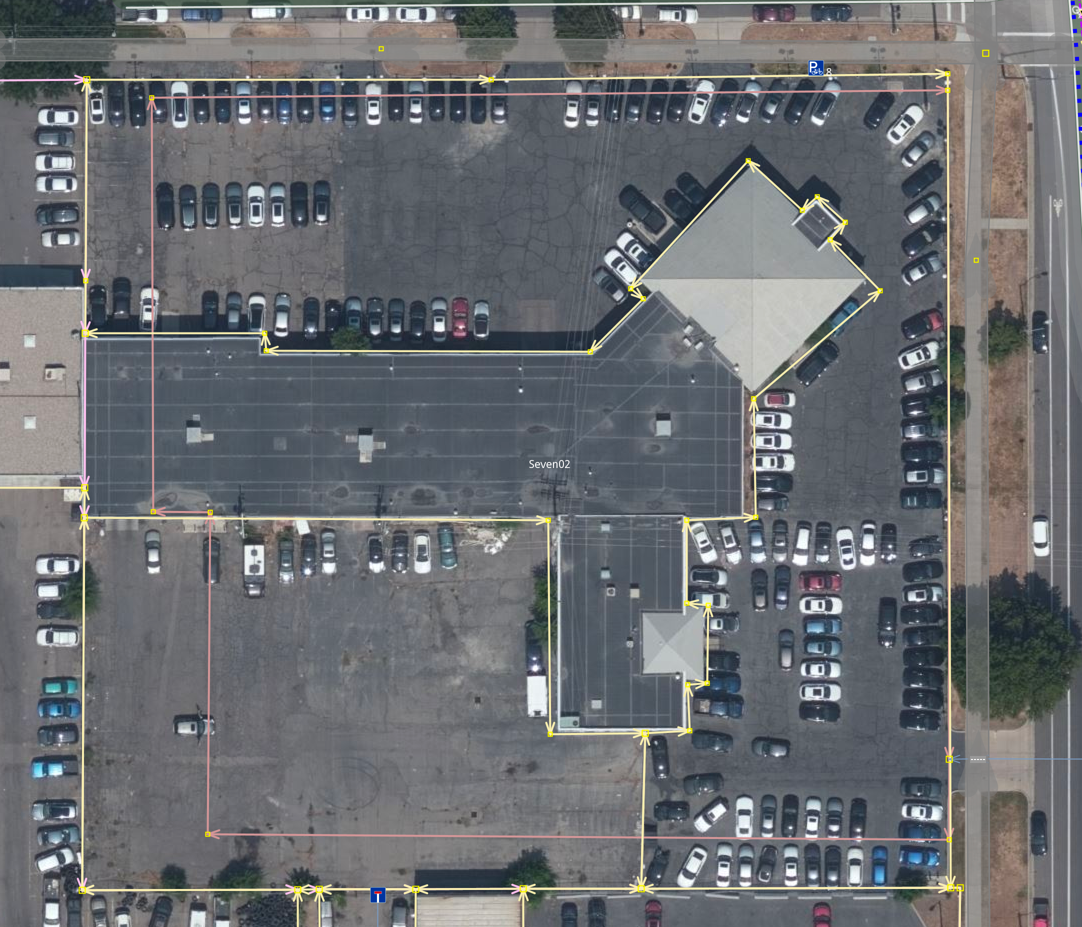 The newer Esri World imagery showing a new apartment building: 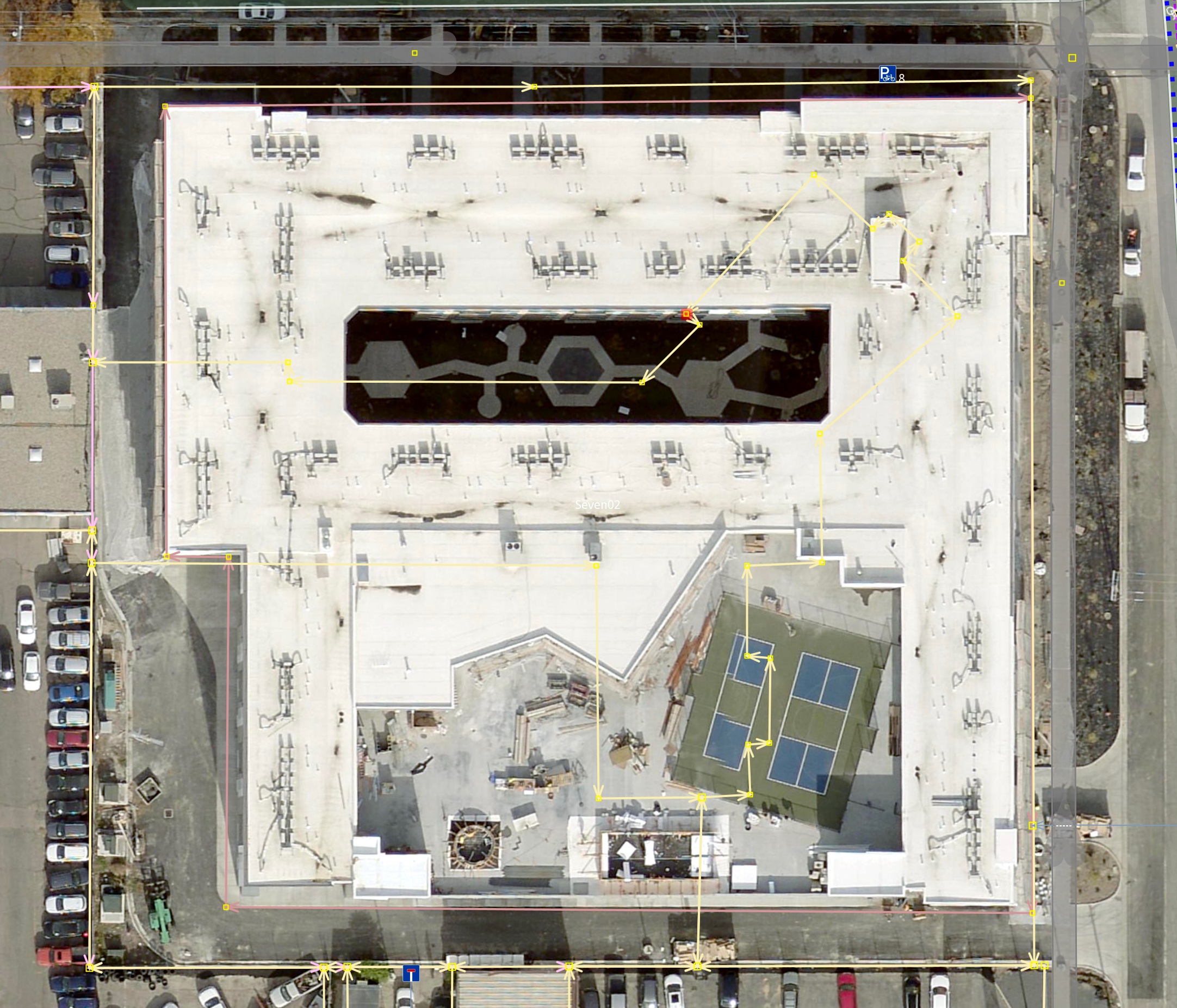 Thanks! If you're local to Salt Lake City, perhaps you would like to join our OSM Meetup sometime? We would love to have you. See https://www.meetup.com/openstreetmap-utah/ for the next one. Happy Mapping! |
| 146164043 | over 1 year ago | Hello, I deleted your contribution as it does not add anything useful to the map. If you are new to OSM, please take some time to learn the basics of mapping by going to osm.wiki/Beginners%27_guide Thank you. |
| 145503547 | over 1 year ago | oops! thanks, I fixed it now. |
| 144332909 | over 1 year ago | That was careless of me. I re-drew the roads and did some other refinement in osm.org/changeset/145424304#map=15/32.8301/-108.0831 |
| 143980941 | over 1 year ago | good point, I changed it back in osm.org/changeset/143982486 |
| 140814542 | almost 2 years ago | I agree that it is generally in very good shape and thank you for being a great steward of our shared OSM data! I don't think 2100 S should be primary, I agree it's an important E-W corridor but it just doesn't have the significance or road layout a primary should have in my opinion. Also, it's not a state maintained road—of course this is not the primary criterion but I do see it as a supporting reason. For example 700 E north of 400 S is also not state maintained but I would not consider downgrading it for that reason alone. Regarding 300 W / Beck Street - do you think it should be secondary rather than primary? I think I could live with that, the traffic volume is not that high in spite of its generous layout. It's still US-89 but its heyday is long behind us. Related, I can't really decide where to have the cutoff between primary and secondary on the northern end of Redwood Rd, right now it's 700 N but I don't know where else would be better cutoff point. Finally, are you keeping an eye on Bangerter? There's still a lot of upgrading going on but I have a feeling people keep changing parts of it from trunk to primary to motorway.. I haven't been paying attention since I'm not in that area very often, but it's worth keeping an eye on. Looking at it right now, I see it's motorway all the way up to 47th South. At least it's consistent, in the past it has been a patchwork of different classes. Thanks for the discussion, enjoying it. |
| 140814542 | almost 2 years ago | I mean keep it as secondary :) |
| 140814542 | almost 2 years ago | Thanks for giving this some thought. I'm fine keeping it as tertiary, you're making good points. I am waiting to see what happens with the northernmost section of 500E. Reconstruction of 200 S between 7th and State is almost done, reducing the road to two travel lanes, two dedicated bus lanes, and two bike lanes. I think it's currently a tertiary and I am inclined to keep it that way in spite of the reduced # of travel lanes—and probably a lower speed limit, although that hasn't been posted yet. It's still "more" than an unclassified I would say. Thoughts? |
| 117929067 | almost 2 years ago | Hey Kepler, how's it going? Do you have time to see if this flag is the old or the new design? And keep an eye on it if / when it updates? |
| 107045458 | almost 2 years ago | I added them all by hand in individual changesets based on official UTA data and aerials / survey. The names are the official names that UTA lists for the stops in their data. Since the names are rendered on most maps, I figured it'd be nicer to keep them that way. The wiki[1] doesn't say anything about expanding abbreviations, but if you feel strongly about it let's discuss. |
| 11673127 | about 2 years ago | Hi Krako73
|
| 135898959 | about 2 years ago | (sorry I may have asked you that before.. your username certainly is familiar..) |