
At OSM Utah, we hold an OSM mapping night every month. If you are in the Salt Lake City area, you should stop by. The details are on our Meetup group.
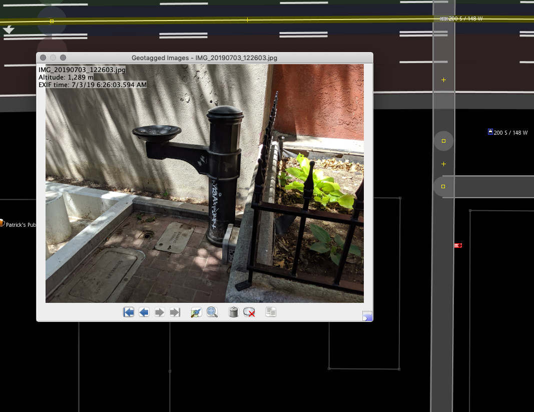
This month we will do a photo mapping night. Photo mapping is a great way to collect information to map later. Every smart-phone has a built in GPS these days, and let you attach location data to any photo you take. JOSM lets you open photo image files, or even an entire directory with ‘geotagged’ images, and will display them as markers on the map.
It works like this. As you walk around, you just take photos of things you think may not be on OSM yet and you want to map later. That could be anything from a general photo of a building (to map things like roof type, levels), a sign with opening hours of a business, a fire hydrant, a hiking trail (to map width, surface type). Anything that you wouldn’t be able to map from aerial imagery, either because it’s too small, likely obstructed by tree cover, or it can only be observed at street level.
Here’s a few photos I took recently

In JOSM, you can go into your photos directory and select one or more images to load them onto the map. They will appear as little grey camera symbols which you can click to reveal the photo so you can map the information.
I think this is a convenient and fun way to map. Before you start, just make sure that your phone is set up to attach location to every photo you take.
For next week, if you’re coming to the mapping night, please take a few photos of things to map in advance so we can make sure it works. We may go out to take some more pictures before we start mapping. See you next week!
討論