
I was going over unnamed ‘main’ roads in my area using this Overpass query in JOSM:

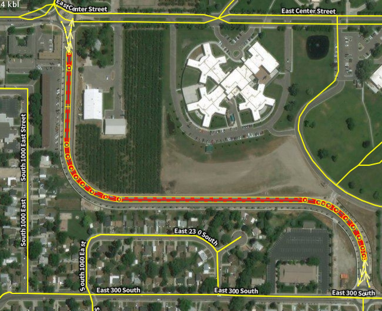
Most of the time I can use the TIGER overlay to add the missing names. Sometimes I stumble upon a way that should have been tagged as a roundabout or a link (and those usually do not have a name tag). There are some cases when a mapper has added a newly built road from survey or aerial images that does not appear on TIGER yet:
It would be useful to remind myself and others to take some street level imagery there. So I started adding fixme=streetlevel tags to these ways. Perhaps this can be picked up by OpenStreetCam and Mapillary to add to their apps so people can remember to drive there when they are in the area. Extra points maybe?
update there is already the more generic fixme=survey which could also be used, however, for some cases you would specifically like street level images. The few fixme=survey that I found in a quick search in the western USA were mostly trails and paths, which are not the main use case for street level platforms (you can capture them of course).
Diskuse