
MapRoulette 3.10 is now available on maproulette.org. Here’s what’s new!
For Mappers
We made changes to the map layer selection. You can select more and more relevant background map layers in MapRoulette. The available layers are retrieved from the OSM Editor Layer Index. For aerial imagery layers, you can also select the Mapbox road overlay.
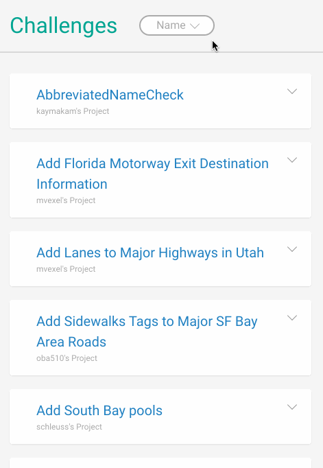
When browsing for Challenges, you can now sort the results different ways: by age, by popularity and ‘smart’ which also takes into account Featured Challenges and Challenges you saved. The old sorting by name is also still available.
Smaller improvements include support for Level0 as a preferred editor, more keyboard shortcuts and seeing the age of tasks when browsing Challenges.

For Challenge Owners
You can now use mustache tags in your Challenge description. These are placeholders for values that are unique for each task. For example, if you have a value lanes in your source task GeoJSON, you can add something like “We think this road has {{lanes}} lanes. Can you verify this using imagery and update OSM as needed?”. When a task is shown to the mapper, the tag will be replaced with the appropriate value.
You can now organize the Challenge and Project administration screens the way you like them. All components are widgets you can drag, remove, and add. You can even create different views to see different sets of information at a glance.
We also support a new streamable GeoJSON format and give the option to ignore GeoJSON errors.
For the full list of features, bug fixes and changes see the release notes on Github.
Happy mapping!
討論