pb-mapping's Comments
| Post | When | Comment |
|---|---|---|
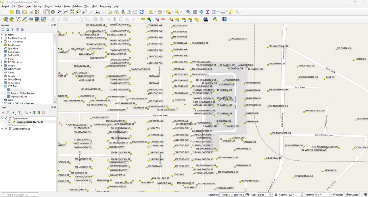
| Mapping Jackson Mississippi's highest poverty areas. | Screenshot of QGIS with Hinds County address data being displayed.
|
|
| Mapping Jackson Mississippi's highest poverty areas. | 5/16/25: Set up a file in QGIS with various satellite imagery layers and imported a downloaded GeoJSON file from OpenAddresses.io. The OpenAddresses layer is styled so that the house number ( The expression used to be able to style this is as follows: I’ve been able to contribute in the ‘Gardens of Englewood’ neighborhood and a few houses West of those. |