
We just updated Mapbox basemap imagery in Washington, DC with 2015 aerial imagery at 3 inch (7.5 cm) resolution.
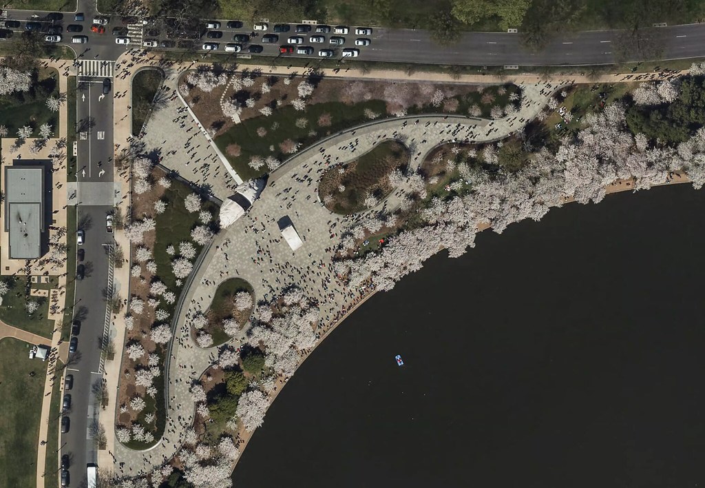 Cherry blossoms at the Martin Luther King, Jr. Memorial
The source data is openly licensed by DC.gov, thanks to the District’s open data initiative.
The imagery is ready for tracing in OpenStreetMap, where its high resolution will help with detail mapping for buildings, parks, and navigation features like turn lanes.

Happy mapping!!
Фекер алышыу
Baloo Urizaтарафынан23 January 2017 cәғәт 14:45көндө ҡаралған
Be sure to include placement as well. Such as in the above example, placement=middle_of:3
BushmanKтарафынан23 January 2017 cәғәт 18:09көндө ҡаралған
There was a discussion of full syntax for turn lanes vs. shortened one somewhere already. While shortened one is completely correct, full syntax (without skipping “none”) is more human-readable and less prone to human error.