اوپن سٹریٹ میپ لوگو OpenStreetMap

richlv دی ڈائری

حالیہ ڈائری انٹریاں

Mapping cash machines in shops

1 November 2024 کوں English وچ richlv دی طرفوں پوسٹ کیتا ڳیا. آخری واری 5 November 2024 کوں اپڈیٹ کیتا ڳیا.

Cashless payments have increased dramatically lately, specially during the COVID-19 “main years”. Still, paying in cash can be crucial as a resilience method (think internet, power, banking system outages). It can be used as a great tool to slightly improve privacy. Paying in cash at a cashier usually is an option, but machines handling cash could be preferable, for example:

  • Elderly people might prefer a machine handling their coins as opposed to trying to count them themselves.
  • People who prefer reduced social contact.
  • Cash/coin enthusiasts who prefer cash payments.

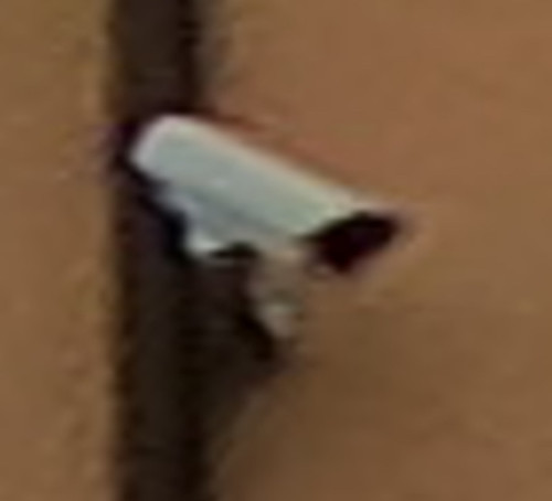
Tag payment:cash:machine is suggested to map the status here. Possible values:

  • no - All cash handling happens by humans only.
  • yes - Machines are available for cash handling.
  • cashier - Machines are available for cash handling at cashiers (often limited to coins).
  • self-service - Machines are available for cash handling at self-service stations.

Currently mapped objects in Latvia - where green indicates a present cash machine, orange - explicitly tagged “no”.

https://overpass-turbo.eu/s/1TwJ

پوری انٹری ݙیکھو

Comparing GoPro Hero11 and Max360

13 April 2024 کوں English وچ richlv دی طرفوں پوسٹ کیتا ڳیا.

Having both GoPro Hero11 and Max360, I was curious whether there would be any use from running both cameras at the same time. While Max 360 captures all around, would Hero 11 possibly have better resolution, which could be useful for streetview platforms like Mapillary and Panoramax, thus also providing additional detail for OSM mapping?

Here’s the same object - a surveillance camera - from both action cameras. Hero11 is even a little bit further away.

Max360: Max360

پوری انٹری ݙیکھو

A wonderful way to learn Overpass

14 July 2023 کوں English وچ richlv دی طرفوں پوسٹ کیتا ڳیا.

There’s this absolutely marvelous tool that offers Overpass tutorial with a storytelling approach. You get hints at how queries should be modified, and can try them out against real data, progressing as you find new bits of information from OSM data.

Learn Overpass

Unfortunately, it’s a bit out of date compared to the current live data in the OSM database, and breaks somewhere around step 6.

Still, even if you haven’t used Overpass before, the first five steps can be useful - and maybe the project gets revived :)

Extracting GPX from Mapillary sequences

27 December 2022 کوں English وچ richlv دی طرفوں پوسٹ کیتا ڳیا.

In the past, Mapillary offered a feature to grab a GPX from image sequences. That feature disappeared at some point, but it would still be useful to get a GPX - to use for OSM, upload to Strava or anything else.

Introducing a quick script to do so - mapillary_to_gpx.pl at https://github.com/richlv/perlscripts .

Example usage:

token='MLY|YOUR|TOKEN'; perl mapillary_to_gpx.pl --image 5652368314832935,5496261470483015,567554981851978,1352688202152043,817276516001059,893732341631081,1833835560326099,670881348042382 --token $token --tzoffset 2 --debug > reezekne2.gpx

Cleaning up large, untagged ways

22 February 2022 کوں English وچ richlv دی طرفوں پوسٹ کیتا ڳیا. آخری واری 23 February 2022 کوں اپڈیٹ کیتا ڳیا.

Sometimes one might want to clean up some features in OSM - for example, untagged ways that are not members of any relations. Such ways sometimes are left behind by wide-sweeping but perhaps less careful changes to forests and other areas. If such ways are short, it’s easy - but if they are very large, downloading a huge area in JOSM is not the best approach.

As I tend to forget the process to do this, documenting it here.

Knowing the object (way) ID, we can use the “File -> Download object…” functionality (Ctrl/Cmd+shift+o):

پوری انٹری ݙیکھو

Retrieving notes with a Perl script

25 September 2015 کوں English وچ richlv دی طرفوں پوسٹ کیتا ڳیا.

OSM notes

OpenStreetMap website allows users to add notes. Adding a note They are supposed to be used when there’s something to be improved on the map, but the person can not do that for some reason - maybe no time to survey it right now, or maybe it’s an external visitor who does not have the knowledge to contribute the fix directly.

پوری انٹری ݙیکھو