OpenStreetMap logo OpenStreetMap

seav's Diary

Recent diary entries

OSM 15 Puzzle

Posted by seav on 12 October 2024 in English.

I recently finished this mini-project where I implemented the classic 15 puzzle game but using the standard OpenStreetMap tiles as the sliding pieces!

While there are many implementations of this game online and in app stores (some even let you upload your own image), as far as I know, not one directly uses OSM slippy map tiles for the pieces. I figured this would be a nifty side coding project and it was fun to do!

Currently you can play any of 20 map locations. Enjoy! 🎉

Play the game here: https://seav.github.io/osm-15-puzzle/

Screenshot of a web app showing the classic 15 puzzle sliding game (scrambled) where each tile shows 1/16 of the whole world in Mercator projection Scrambled puzzle showing the whole world in Mercator projection

See full entry

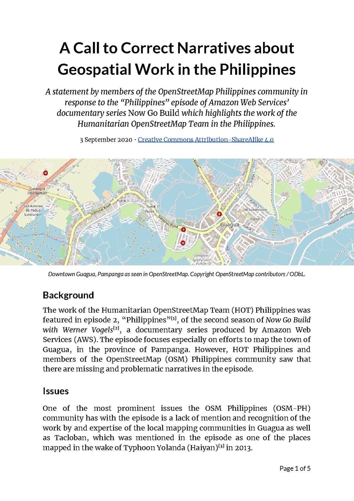
Cover image of the statement

Last September 1, Amazon Web Services (AWS) released an episode of their documentary series Now Go Build which highlighted the work done by the Humanitarian OpenStreetMap Team in the Philippines, especially in mapping the town of Guagua, Pampanga.

Several members of the OSM-PH community however have observed that there are missing and problematic narratives in the video related to the story it tells of geospatial and humanitarian workers in the country.

Therefore, some of us have prepared and released the following statement: osm.wiki/w/images/a/aa/A_Call_to_Correct_Narratives_about_Geospatial_Work.pdf

Wikidata+OSM at State of the Map 2019 and WikidataCon 2019

Posted by seav on 15 December 2019 in English. Last updated on 16 December 2019.

I’ve been a Wikimedian since 2002 and an OSM mapper since 2007. While there are certainly a lot of differences between the two projects, I believe that there is much more in common between Wikimedia and OSM especially since OSM was directly inspired by Wikipedia (people usually introduce OSM as the “Wikipedia of maps”) and because they both came out of the free knowledge and open data movement (Wikipedia is licensed under Creative Commons and OSM was originally licensed under CC too before switching to ODbL). I therefore support and contribute to efforts for the two communities to understand each other and collaborate with each other. And I am not alone: there are a lot of Wikimedian/OSM contributors like me.

Over the past decade, I’ve given a lot of presentations, talks, trainings, and workshops on how to contribute to and make use of Wikimedia projects (like Wikipedia) and OSM but it was during Wikimania 2014 that I was first able to give a half-hour presentation about both projects and showing how the Wikimedia and OSM communities benefit from and collaborate with each other. (See the session page and my presentation slides.) Since then, I’ve given several talks about essentially the same topic in various Wikimedia and OSM events and you can see an overview of them on the Wikimedia Meta site.

State of the Map 2019 and WikidataCon 2019

See full entry

Typhoon Haiyan, five years after

Posted by seav on 8 November 2018 in English.

Today, November 8, is the fifth anniversary of Typhoon Haiyan, known locally as Typhoon Yolanda, making landfall in the Philippines. This devastating typhoon, which broke the record for being the strongest landfalling tropical cyclone in history, had a lasting impact on the country and its effects are still affecting Filipinos to this day.

For the OSM Philippines community in particular, Typhoon Haiyan radically transformed what it meant to volunteer our time, effort, and resources to map and provide freely accessible geographic data for the country.

Before, the local OSM community was a pretty small group of hobbyist mappers who enjoyed going outside to map and share information about the places we live, work, and play in. But Haiyan showed us that the work we do in mapping the Philippines can sometimes mean the difference between life and death. Past typhoons and storms like Ketsana (Ondoy), Washi (Sendong), Bopha (Pablo), and the 2013 Bohol earthquake had shown the potential of OSM in applications related to humanitarian efforts and disaster resilience, but Haiyan has thrown that into a painfully clear perspective.

See full entry

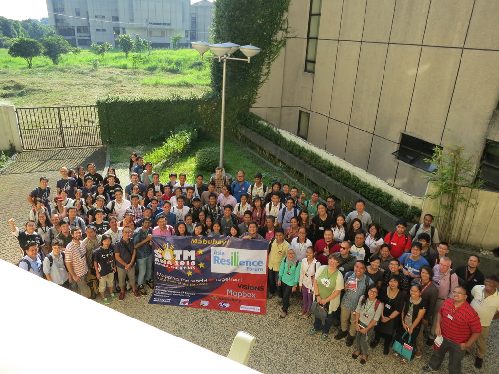
SotM Asia 2016 group photo SotM Asia 2016 group photo
The second and final day of State of the Map Asia 2016 is almost done and it has been great to hear and learn from OpenStreetMap colleagues from India, Japan, Indonesia, Taiwan, Sri Lanka, Nepal, Bangladesh, Russia, Sweden, the United States, the Philippines, and many other countries.

Location: UP Campus, Diliman, 4th District, Quezon City, Eastern Manila District, Metro Manila, 1101, Philippines

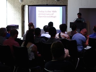
Maps and Ale at OpenStreetMap’s 10th Anniversary Celebration in London

Posted by seav on 31 August 2014 in English. Last updated on 8 November 2018.

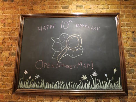
The OSM 10th Anniversary blackboard greeting

The London OSM community is quite active having their regular pub meetups, so it was exciting for me to attend their 10th anniversary celebration, which was held at The Artillery Arms. Intentionally held near the Barbican Centre, where Wikimania 2014 was held, the party had a pretty good mix of people from the OpenStreetMap and Wikimedia communities. It was really great meeting people and talking about OSM over pints of ale and beer.

Read more at my blog.

Location: Saint Luke's, Finsbury, London Borough of Islington, London, Greater London, England, EC1V 3RQ, United Kingdom

Presenting about Wikimedia and OpenStreetMap at Wikimania 2014

Posted by seav on 25 August 2014 in English. Last updated on 8 November 2018.

Eugene Villar giving his presentation

Photo Ⓒ Harry Wood, CC-BY-SA 2.0

Over two weeks ago, I had the amazing opportunity to attend Wikimania 2014 in London. Wikimania is the annual conference for the Wikimedia movement, which includes the Wikipedia project. Coincidentally, the conference occurred on the same weekend as the 10th anniversary of OpenStreetMap. As my way of celebrating the anniversary, I gave a presentation about the collaborations between OpenStreetMap and the Wikimedia projects at the conference.

Read more at my blog.

Presentation slides.

Location: Barbican, City of London, Greater London, England, EC2Y 8DT, United Kingdom

Using OpenStreetMap for Disaster Risk Reduction

Posted by seav on 20 January 2014 in English. Last updated on 8 November 2018.

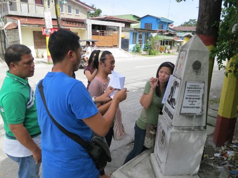
Several people are taking down notes beside a small street-side historical marker bearing the title "Death March, KM 93".

Last November 5 to 7, I and a few other volunteer mappers from the OpenStreetMap Philippines community joined the Environmental Science for Social Change (ESSC) in training the local government of Guagua, Pampanga in contributing to and using OpenStreetMap with an eye for disaster risk reduction.

Read the rest of this piece on my blog.

Location: Santo Niño, San Pablo, Guagua, Pampanga, Central Luzon, 2003, Philippines