sigrst의 참고
sigrst님이 제출하거나 의견 추가한 참고
| ID | 만든이 | 설명 | 만든 날짜 | 마지막으로 바뀜 | |
|---|---|---|---|---|---|
| 4811630 | sigrst | Denke man sollte diesen Trampelpfad entfernen. Er wird quasi von niemanden genutzt, ist super steil und erweckt auf der Karte, nur den Eindruck, man könnte hier laufen via StreetComplete 61.1 Attached photo(s):
|
|||
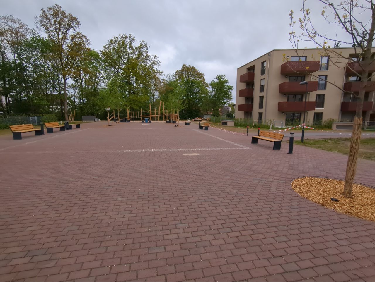
| 4206496 | sigrst | Unterbrechung der Straße, Platz mit Banken via StreetComplete 57.2 Attached photo(s):
|
|||
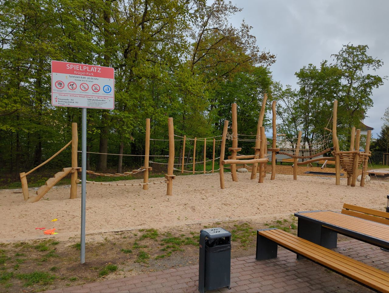
| 4206492 | sigrst | Spielplatz via StreetComplete 57.2 Attached photo(s):
|
|||
| 4214142 | sigrst | Spielplatz für Kleinkinder via StreetComplete 57.2 Attached photo(s):
|
|||
| 4207819 | sigrst | Neuwerksteg aktuell gesperrt (Habe nicht gesehen, dass das schon eingetragen ist) https://www.nuernberg.de/internet/soer_nbg/neuwerksteg.html via StreetComplete 57.2 |
|||
| 4206500 | sigrst | Wilhelm-Krügel-Weg geht bis vor zur Knappstraße
via StreetComplete 57.2 Attached photo(s):
GPS Trace: osm.org/user/sigrst/traces/11330703 |
|||
| 4117239 | sigrst | Verkehrsinsel via StreetComplete 56.1 Attached photo(s):
|
|||
| 4117267 | sigrst | Wilhelm-Krügel-Weg (Spielstraße) via StreetComplete 56.1 Attached photo(s):
GPS Trace: osm.org/user/sigrst/traces/11288440 |
|||
| 4117259 | sigrst | Wilhelm-Krügel-Weg ( Spielstraße von Deutenbacher Str. Bis hier) via StreetComplete 56.1 GPS Trace: osm.org/user/sigrst/traces/11288437 |
|||
| 4117941 | sigrst | Unable to answer "How wide is the bicycle path here?" – Path – osm.org/way/438784004 via StreetComplete 56.1: Kein expliziter Radweg Attached photo(s):
|