OpenStreetMap logo OpenStreetMap

skunk's Diary

Recent diary entries

OpenStreetBrowser: New category: Kerbs

Posted by skunk on 29 December 2022 in English.

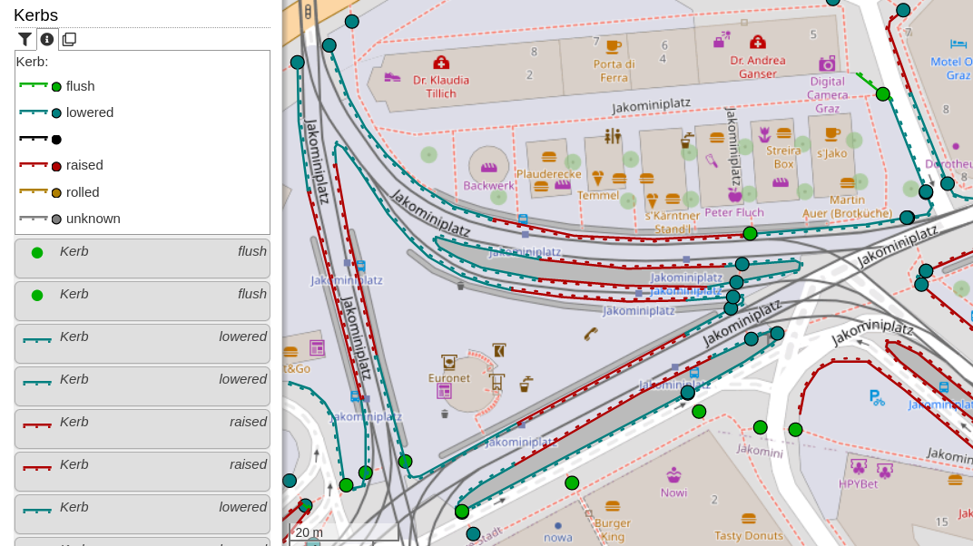
This new category shows kerbs (the edge where a road meets a sidewalk). Read more about this in the OpenStreetMap Wiki. The category uses the colours from the Wiki page. Popups will show additional information: type of kerb (lowered, raised, …), they wheelchair accessibility (if set), if the kerb has tactile paving and the height.

Screenshot of OpenStreetBrowser, showing a map of Jakominiplatz, Graz with the "Kerbs" overlay. In the left sidebar, the map key is visible and a list of map features.

For discussion, please go to the OpenStreetMap Community Forum.

Thanks to a contribution by user danieldegroot2, dates and date ranges are now displayed in Dutch. Other languages which are currently supported are: English, French and German. If you are interested in adding another locale, please check out the module openstreetmap-date-format (HOWTO).

Screenshot of OpenStreetBrowser, with a map showing buildings and their age in colors. A popup on a "Palais Kazianer" is open. It shows the date when the building was completed in Dutch: "tussen de 15e eeuw en de 16e eeuw" (between 15th and 16th century).

The reason for this module is the flexibility of the date system in OpenStreetMap, which allows for inexact dates like “C16” (16th century), “early 2000s” (sometime between 2000 and 2003), and “1848..1855” (between 1848 and 1855).

The new “Footways” category (under Transportation -> Walking) shows sidewalks, footways, steps, platforms and pedestrian zones. Sidewalks mapped on the street way (sidewalk:left, sidewalk:right resp. sidewalk:both) will be shown with an offset - hatching indicates the relation.

Screenshot of OpenStreetBrowser showing the "Footways" category. In the left side the map key for the category is visible, below some of the features in the map view. In the map view a popup on a street with sidewalks is open.

If you have an questions, comments or ideas, please create an issue on Github! Quite some new strings were added to the translation system. Your participation is highly appreciated!

Recently I introduced a few “OpenStreetMap Quality Control” categories:

  • Fix Me - All map features which have a “fixme” (or similar) tag, categorized by suffix (e.g. fixme:name) or content (e.g. “name wrong”). It can also filtered by type of feature (e.g. Shop, Road, …).
  • Culture - Media/Wikidata - In my opinion, each cultural map feature (artwork, memorial, tourist attraction, …) should have an image and/or a wikimedia_commons category (red=missing, light blue=set). Often, there even exists a Wikidata item (dark blue). Many memorials erroneously have the wikidata link to a person (magenta), this should most likely be a “subject:wikidata” (resp. “subject:wikipedia”) tag.
  • Wikipedia - This category was in the “Special” top category before. It shows all map features in the area with a wikipedia or wikidata tag (including prefixes, e.g. “subject:wikipedia” or “name:etymology:wikidata”).

Screenshot of OpenStreetBrowser showing the "Culture - Media/Wikidata" category.

Parcel lockers are a newly approved feature in OpenStreetMap. They are now included in the “Communication” category with a box symbol. I also included the deprecated tags vending=parcel_pickup;parcel_mail_in, vending=parcel_pickup and vending=parcel_mail_in. These will render with a bright red symbol to indicate deprecation, also there’s a warning in the popup.

Screenshot of OpenStreetBrowser, showing the communications category with a popup on a deprecated parcel locker

  • Do you know of more tags which should be indicated as deprecated? I was thinking about adding some QA features for some time, so this is a good opportunity.
  • There’s a new string to translate for this deprecation warning. Find the translation system here.