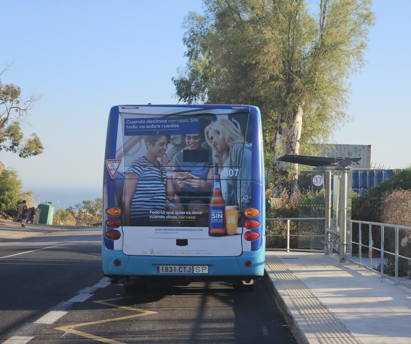
Recently Malaga’s bus route number 37 was extended to Residencia Santa Clara in the hills outside the city. This part of the route had been suspended for a few years, and I knew that some stops had been relocated in the meantime. So I took the bus to the last stop to update the mapping in OpenStreetMap.
As I walked back towards the city down a steeply sloping road (pausing to tag it as sidewalk=no), I wondered if I had just visited the city’s highest bus stop. I could probably have confirmed this fairly quickly with the help of a relief map - there were only a few realistic candidates.
But I happened to be looking at the OSMnx Python package for unrelated reasons. And I had already downloaded Digital Terrain Model files covering the city of Malaga. Obviously destiny wanted me to take a library intended for analysing important questions about urban road networks, and use it to devise an over-engineered answer to my trivial question about bus stops.


 Abb. 1: Von Hydranten versorgte und nicht versorgte Bereiche in Schrems, Niederösterreich. Schwarz hervorgehobene Gebäude und straffierte Bereiche liegen außerhalb der Erreichbarkeit von Hydranten (wobei im Nordwesten vermutlich noch keine Hydranten gemappt wurden).