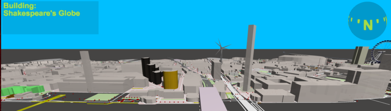
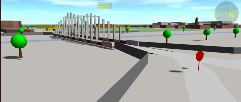
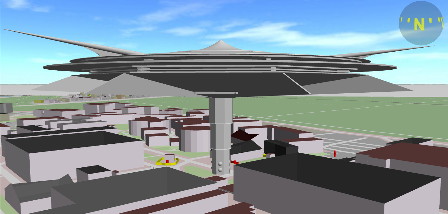
"OSM go" - Impressions
Posted by -karlos- on 11 December 2017 in English. Last updated on 13 December 2017.Impressions: www.osmgo.org
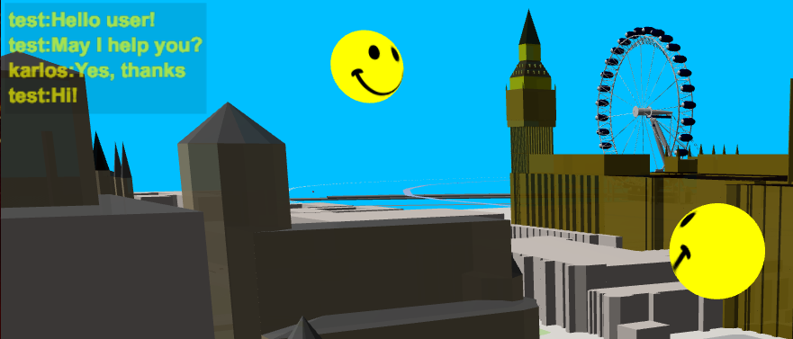
This 3D-Playground is running in multi user mode. So if you see a smile, don’t run away, have a chat with me (key C)

 Siehe auch: “Landkarte oder GPS?” -