This post was first published 26th October 2014 at my blog.
Untill today Nyköping has been having the status of “decent”. The list of cities in Sweden and their status can be found on the Wiki(WikiProject Sweden/Cities). After many hours of mapping yesterday, I changed the status to “completed”(for car navigation). The description of the completed status states “All public roads should be mapped. Roads should be tagged with name and driving restrictions should be fully mapped.”.
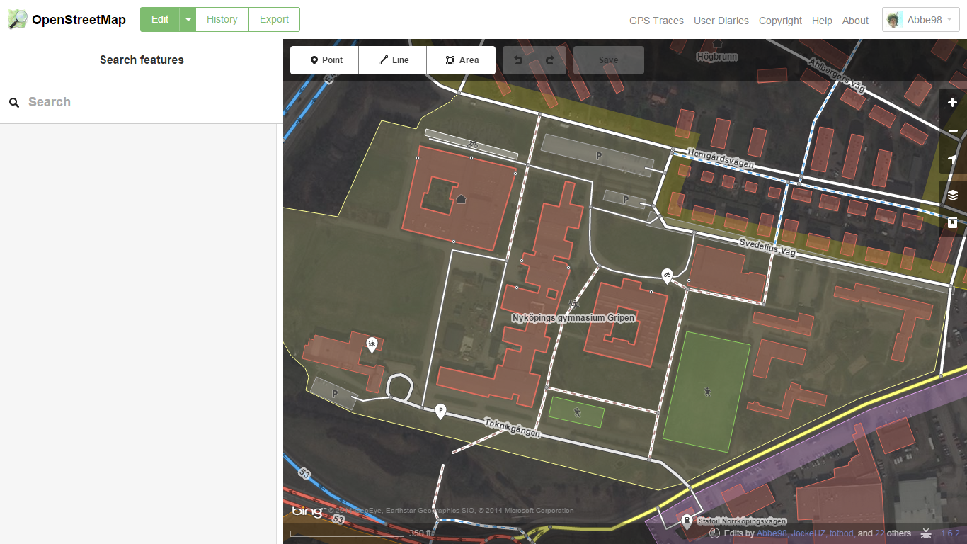
I decided when I saw the status table at the wiki yesterday that the task for the weekend should be to make sure that Nyköping could be given the status completed. I saw it as a easy task as we have been spending a loot of time on mapping buildings downtown but I did knew that some roads was missing names so I used the “QA” tool to check for roads without names. I think I added about 70 missing names, much more then I had thought of. I also discovered that in the eastern part of Nyköping there was black areas where roads were missing. The areas had no aerial imagery. I went to sleep late that night, mapping about 30 new roads without aerial imagery. I think the result become as good as it can be anyway.
Discussion
Comment from escada on 8 December 2014 at 06:49
That’s a nice job. No doubt about that.
But I have some problem with those complete lists. Streets are added, get another layout, etc. all the time. Such a static table is outdated before you know. IMHO it gives a bad impression for new mappers. They might think nothing has to be done anymore.
Furthermore, just names and the street layout is not “completed for car navigation. What about turn restrictions, one way street, lanes, turn lanes, directions. A modern car navigation needs all of that.
I hope that this does not sound to harsh. I really think it is a nice job that you did, however, it is never finished.
Comment from Zorac on 9 December 2014 at 21:45
Regarding the strip that isn’t covered by Bing imagery. You can use Mapbox satellite imagery instead.
Comment from Abbe98 on 9 December 2014 at 22:03
@escada I didn’t quote the entire status state, one ways, turn restrictions and counting is mapped… The entire Wiki(at least most of it) is static and it requires a active community just as entire OSM project. About new mappers I can see a major issue with the static status tables, maybe a automated overpass “status check” could be a alternative? Has been considering working on something like that… Right now I think the status tables is great as they set goals for local mappers…
@Zorac the Mapbox Satellite Imagery is almost useless in major parts of Sweden because Mapbox is only using open licensed imagery and here we have almost none of it thanks to laws… For example if you want to publish your own imagery you haft to first ask the defense authorities.
Comment from Zorac on 10 December 2014 at 19:56
@Abbe98 I am aware of that but in this instance the Mapbox covers the part that is missing in Bing. Although not to the same zoom level. This is also true for some parts of the coastline.
Comment from Abbe98 on 15 December 2014 at 13:27
@zorac I wasn’t aware of this. Do you know why the zoom level is limited?