AngocA's Comments
| Inskrywing | When | Comment |
|---|---|---|
| OpenStreetMap NextGen Development Diary #24 — Public Launch | Don’t worry, I’ve already started a thread in the community: https://community.openstreetmap.org/t/openstreetmap-logo-seems-obsolete/125420 The issue is that the current OSM logo poses a copyright problem for osm-ng. Therefore, launching a call for a new logo could help resolve this issue. |
|
| OpenStreetMap NextGen Development Diary #24 — Public Launch | This could be the opportunity to change that old and now ugly logo of openstreetmap. Something that represent things in 2025, not something that has not been changed since 2000’s. Osm logo depicts things that few people use in 2025: a printed map and a magnifying glass. People in 2025 use the cell phone for both things. We need a logo, simpler, no blurs, less colors, no shadows, and something that includes the name of the project. |
|
| Comparación de características de Google con el econsistema de OSM | Aquí un listado de opciones en Google Maps - https://www.howtogeek.com/google-maps-does-more-than-directions-heres-how-the-app-helps-me-travel/?utm_medium=newsletter&utm_campaign=HTG-202505270600&utm_source=HTG-NL&user=YW5nb2NhQHlhaG9vLmNvbQ&lctg=5ba62674a08f04dbe6a4e2da912a397b5a67486ae41068754b4761db9617d255 |
|
| Mapeando el Humedal El Totoral con ChatMap: Ciencia Ciudadana para la Conservación | Felicidades Sebas, que buen ejercicio en terreno, y que el artículo está explicando cómo usar la herramienta. |
|
| 2024 - Learning and Contributing to OpenStreetMap :) | It is a pleasure to have you on board. |
|
| # My Experience Mapping Trees With High School Students at Instituto Técnico Industrial Francisco José de Caldas | Lud, estamos ansiosos de ver este articulo |
|
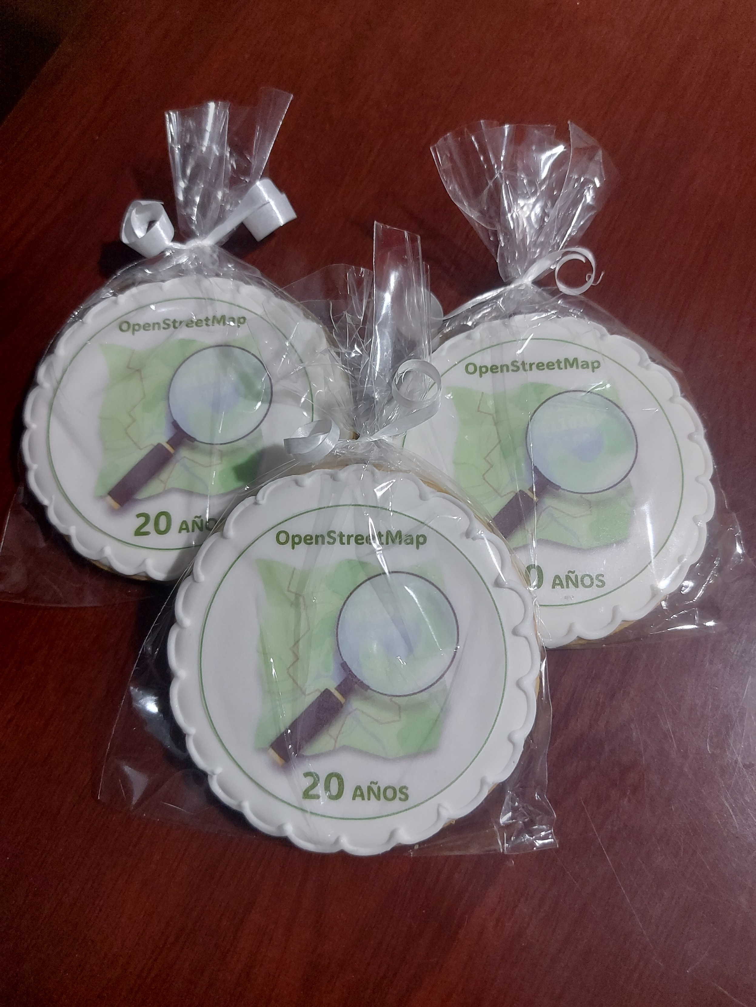
| Happy 20th birthday OpenStreetMap! | These were the cookies we prepared for the OSM Birthday in Bogota, Colombia
|
|
| Introducing Communities: A Proposed Feature for OpenStreetMap | There is also another “community” thing in OSM: osm.org/communities Names could be refactored as part of the deployment of this great feature. |
|
| Call for ideas from Microsoft | Hi Branko Most mappers use the Result Maps tool from Pascal Neis (HDYC, notes, etc.); however, in the last few days, it has been down, producing issues for the mappers (from my side to identify the new notes in my country). It would be interesting to have a similar tool for OSM profiles and provide near real-time stats about different elements of OSM. A tool developed as OpenSource and hosted in a shared platform in a way that many admins and developers could help. As part of the OSM Latam community, we have started a project focused on notes to provide analytics: https://github.com/OSMLatam/OSM-Notes-profile |
|
| Es momento de un descanso | Hola Omar, Me encuentro con sorpresa con esta entrada de diario, de la cual me había comentado risturiz. Me deja triste de que una persona tan activa en diferentes frentes de OSM, tan polifacética en la comunidad LatAm, se desmotive. Puede que lo que estés viviendo nos haya pasado a todos en nuestra historia de OSM, a mi también me pasó, pero aquí estoy de nuevo. Lo mejor es tomarlo como una pausa, un descanso, para interiorizar, analizar el valor que tienes en la comunidad, de tu experiencia, y así poder volver más fuerte, atacando otros problemas. Toma tu tiempo, descansa, y espero que vuelvas, y que sea pronto, ojalá como miembro de algún working group, y así tener más representación de Latam. Andrés Gómez |
|
| iD on a phone | osm.org/id could also work |
|
| Aplicaciones para mejorar el mapeo en terreno | I wrote another entry in my diary for the websites that are easy to use from mobile devices to improve OSM data: osm.org/user/AngocA/diary/401426 |
|
| Photomapping + Notes | It seems the only persistent option will be fediphoto: https://www.howtogeek.com/887420/imgur-is-about-to-break-the-world-wide-web/ |
|
| Aplicaciones para mejorar el mapeo en terreno | Thank you Mateusz. I corrected it. |
|
| Aplicaciones para mejorar el mapeo en terreno | I didn’t include editors (Like Vespucci or GoMap) or POI editors. I focused this article on listing simple applications to improve OSM quality. Especially applications for newbies or people that do not want to learn of the details of nodes, ways, relations, and tags. |
|
| Aplicaciones para mejorar el mapeo en terreno | Gracias @TrickyFoxy, corrected! |
|
| Portales para fotos a nivel de calle | Thank you @gendy54 and @!¡! for your comments. Once the platform is open for everyone, I will include it here. Very interesting project. |
|
| Photomapping + Notes | Super por esta entrada y toda la iniciativa que tuviste para que se incorporar la funcionalidad de Notas en Fediphoto. |
|
| Assessing the quality of electric vehicle charging station data (with a specific focus on the "capacity" tag) | Hi iboates, thank you for the analysis and explanation about how to tag electrical chargers. Regarding the capacity, I have a comment in a particular charger in my city, Bogotá; there is a charger with 3 connectors (shuko, mennekes y sae j1779 combo) that allow to plug 3 cars. However, the electrical capacity is not enough, and when the mennekes plug is connected, the combo plug does not provide power to charge the car. In this case, the capacity is 3 (cables/connectors) or 2 (simultaneous charging cars)? |
|
| Comparación de aplicaciones / servicios que trabajan con notas | FediPhoto is another Android application allowing you to create notes and associate photos. This is great for better document your notes on the field. |