Recent discussion with one of OSM contributors, who edited a forest path, located at narrow straight cutline, crossing pretty dense forest, made me thinking about some good example of how bad tracks can get under the foliage. Since that person used Strava’s point cloud, I decided that it would be perfect example.
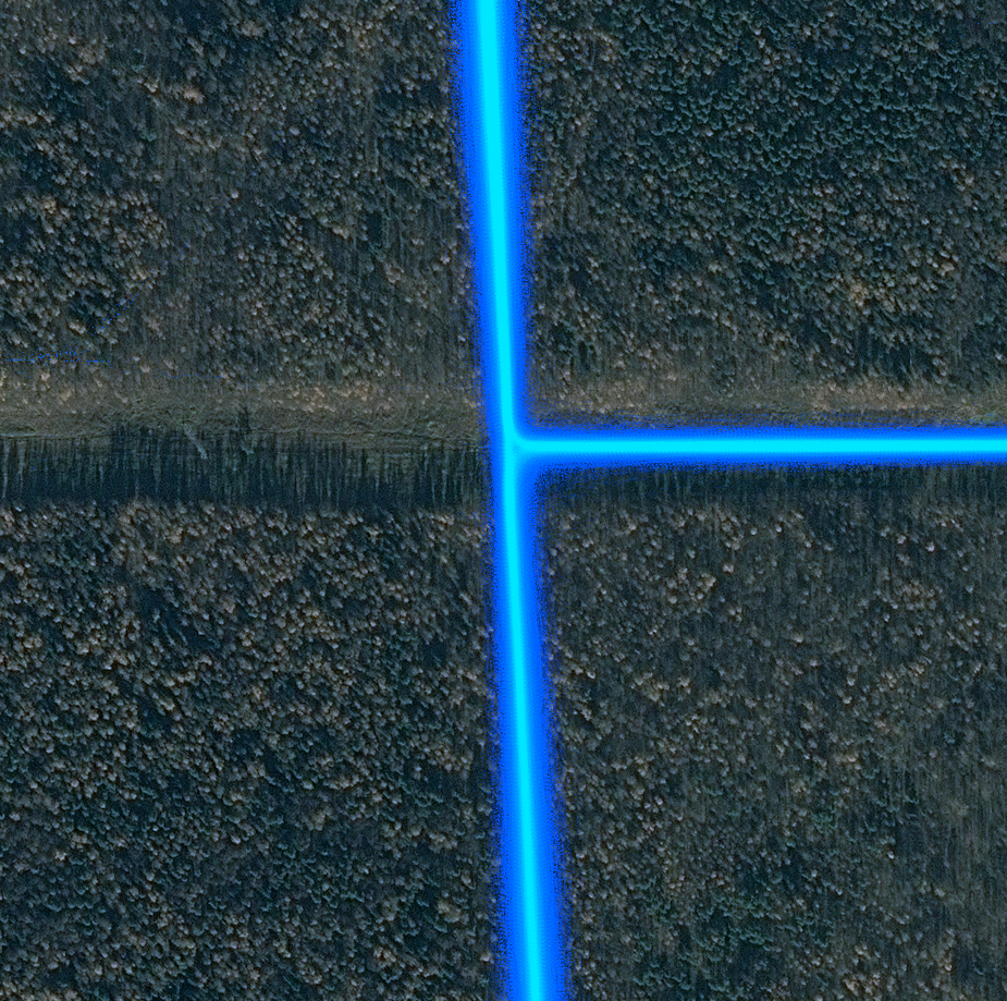
Let’s take a look at this place. It’s a clearing for high voltage power line, about 85 meters wide. There is a mixed use pedestrian/bicycle asphalt road (former service road), about 6 meters wide, it goes from south to north. There is another road of similar type and size, which goes to the east. Forest there is mixed (about 40% firs), old grown, about 19 meters tall.
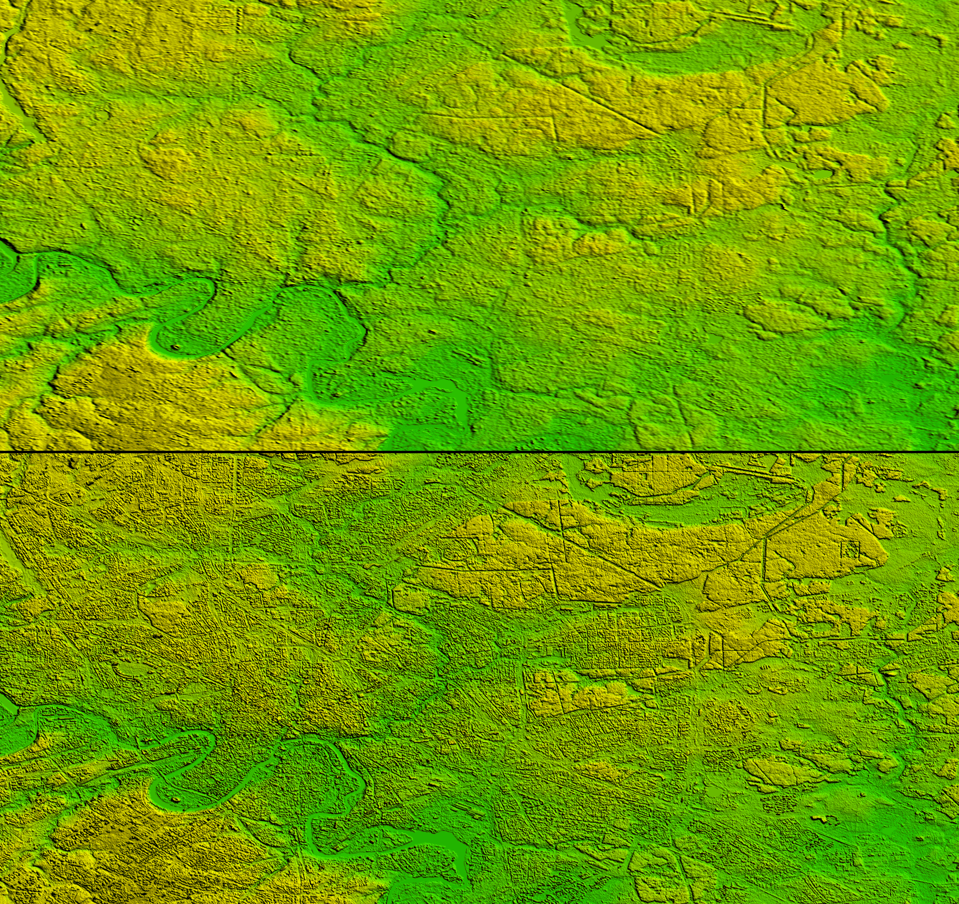
Then, let’s take a look at Strava data overlaid on top of high resolution imagery (click on it for original resolution):