ColinMarquardt's Comments
| Post | When | Comment |
|---|---|---|
| Three days, three places | Would be interesting if Google StreetView dare entering that area at some point. They don't have it live yet at least. :) |
|
| The case for search and replace and/or myspell/aspell/ispell support | There is a clever script in SVN called change_tags.py which you could use for mass renaming, but I would discuss something like that on the mailing list first. |
|
| Road Name | It seem it was already in, visible at high zoom.
|
|
| Tracing | sudo make the "17" a ref tag instead of the name tag (will give you "shields") |
|
| First post: on Cassano delle Murge | 12.000 inhabitants fully warrants place=town, good catch. One thing I noticed when looking at the map there: the SP236 and SP205 and SP83 etc. parts of the road names should be in the ref tag instead, like this: ref=SP236. This will give you nice little boxes with this number in them, and the real name of a road in addition. Have fun mapping! |
|
| Borderline | On the other hand, http://matt.sandbox.cloudmade.com/?lat=50.31022&lon=12.19014&zoom=16&layers=B0 still shows it... |
|
| Kartographierung der Alsen Colonie (heute Wannsee - Berlin) | Wow, cool. |
|
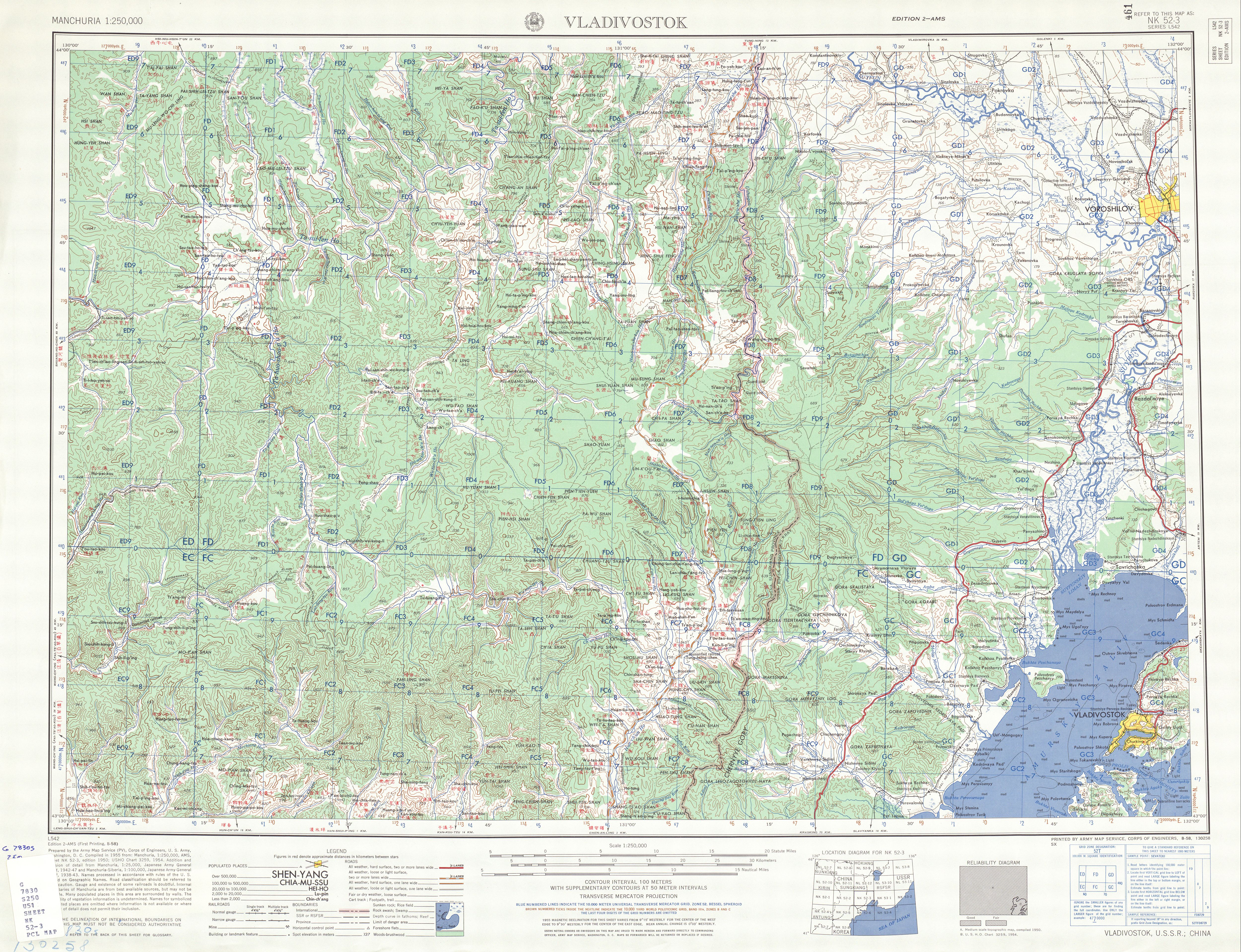
| Edge of Russia | Maybe you can also derive something useful from http://www.lib.utexas.edu/maps/ams/manchuria/txu-oclc-6614368-nk52-3.jpg |
|
| Merkaartor, Error corrections and Midnight mapping | The red X should work for deleting tags - you have to have your input focus set to the tag you want to delete. There is also a patch now that makes trackpoints unclickable (hopefully integrated into SVN soon). As for the icons, do you know that you can switch the map style? Try MapnikPlus for instance, it has more icons than the Classic style. MapnikPlus will also show a different icon for a node with tags even if it doesn't have a specific icon defined (I thought the Classic style did that too though...). |
|
| erste Versuche | Einfach Geduld haben, auf der Mailingliste oder im Forum konkret fragen, oder am 8.1. beim
|
|
| Playing with power lines | Now is the time to lighten up the streets by using lit=yes :) |
|
| Wow, i just have to share this. BikeMap.net | Also take a look at http://gpsies.com then. |
|
| More street name updates | Merkaartor has always been able to split a road AFAIR. You sometimes need to select the road in addition to the node though. |
|
| 1. Team-Nightride 09.10.2008 | Coole Sache. Mal sehen, wie es mit
|
|
| Pacific Highway - Bonville Deviation | As much as I love Merkaartor, if you find yourself adding lots of new nodes to existing ways in order to smooth them, try a recent JOSM version instead. It has "virtual vertices" that allow you to grab and drag the "x" in the middle of a way segment and makes it a new node automatically. |
|
| Node gluttony for areas | walky: In Merkaartor, you use Node > Merge (Alt+M). |
|
| over night stay | I think tourism=guest_house would fit quite nicely. |
|
| Upload gps data without tagging them? | When you go a way twice, you will get two ways, not one, but that's not a bad thing as the others have said. If you don't have the time to properly tag your ways, you could still help naming streets etc. by using http://openstreetbugs.appspot.com/ |
|
| Walking Tracks | The huge bus is a known and now fixed problem, should be gone soon. |
|
| Botswana | Always great to hear about mappers in places where THEY don't have data :) |