How to map partially overgrown building?
ߊ߬ ߟߊߦߟߍ߬ߣߍ߲߬ ߦߋ߫ GuenniLD ߓߟߏ߫ 15 November 2021 ߦߋ߫ English ߟߋ߬ ߘߐ߫I asked myself, how to map the new built SPAR (Supermarket), which is mostly overgrown. Below is the concept picture of the building:
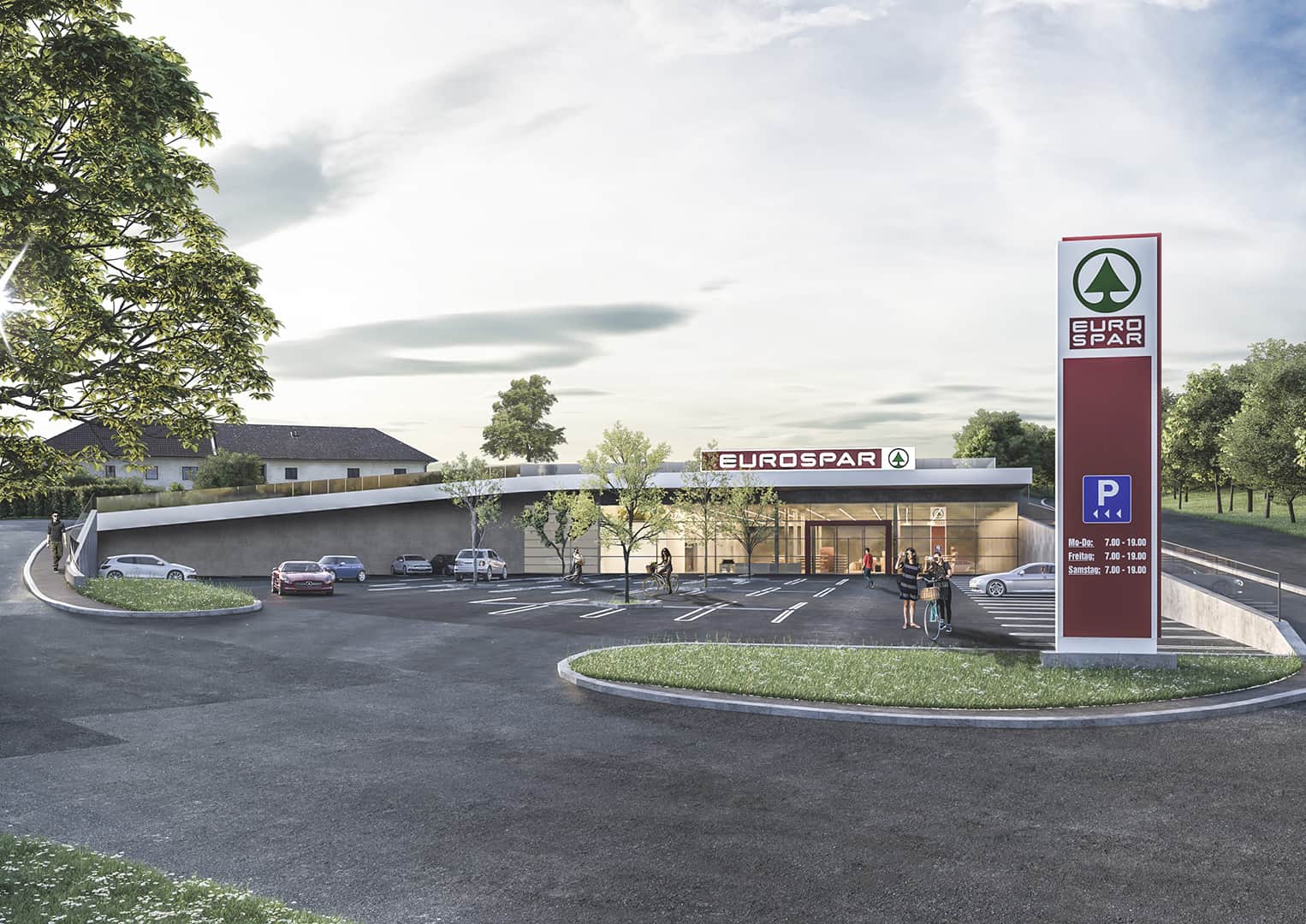 It pretty much looks like this in reallife and you can (can’t) see, that there is a field, respectively a meadow on the roof. Mapping the building as “underground” wouldn’t make much sense to me, but “overground” does neither. Maybe I should just map the Supermarked as a single point (like it is right now, temporarily)?
What would you suggest?
Discussion
ߡߙߌߣߊ߲ ߞߊ߬ ߝߘߊ߫ andy mackey ߟߊ߫ 17 November 2021 at 08:49 ߘߐ߫
I posted a question that points to your interesting question. see https://help.openstreetmap.org/questions/82606/mapping-under-ground-or-earth-covered-building
ߡߙߌߣߊ߲ ߞߊ߬ ߝߘߊ߫ Rovastar ߟߊ߫ 19 November 2021 at 06:29 ߘߐ߫
Map the roof as surface=grass