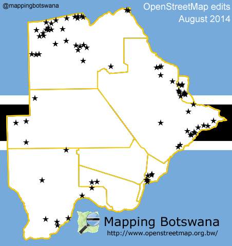
Mapping Botswana report for November 2014
Ipinaskil ni Mapping Botswana noong 30 Nobyembre 2014 na nasa EnglishNovember is at an end. The efforts of the Peace Corps make their mark on the map but many others have contributed to the map.
In December we hope to publish a tool to help show the mapping status of settlements. Stay tuned!

Not a conclusive list of updated places:
- Bobonong
- Bokaa
- Borolong
- Borotsi
- Chobe National Park
- Dagwi
- Deception
- Diloro
- Dobe
- Francistown
- Ghanzi
- Gootau
- Groote Laagte
- Inalegolo
- Kachikau
- Kasane
- Kazungula
- Khawa
- Kutamogree
- Lecheng
- Lesholoago
- Lesoma
- Mabalane
- Mabuasehube
- Mahalapye
- Marobela
- Maun
- Mmadinare
- Mochudi
- Modipane
- Moiyabana
- Molalatau
- Natale
- Palapye
- Pandamatenga
- Pilikwe
- Polenswa
- Radisele
- Ramokgonami
- Robelela
- Satau
- Sefophe
- Selebi-Phikwe
- Shashe
- Shashe-Mooke
- Shoshong
- Tati Siding
- Thamaga Tlokweng Tobane Tutume