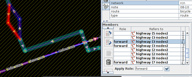
Mapping cycling highways in Flanders
Апублікавана карыстальнікам Polyglot 12 Жнівень 2020 на мове EnglishCycling highways are a ‘thing’ in Belgium and The Netherlands, or rather, they will be.

Some stretches already exist, others are still in the planning phase.
The intent is to have them as bidirectional ways for cyclists, ideally 4m wide, without car traffic. Often alongside railroads or canals, sometimes instead of disused railways. Where they cross motorways bridges are planned.
Usually they are also open to pedestrians, horseback riders, skeelers, etc. Some were not open to speed_pedelecs, but that is getting resolved.
In practice there will be certain parts that will always be ‘shared’ with car traffic though and where they cross busy national roads the cyclists won’t have priority for obvious reasons. Building bridges and tunnels everywhere is not possible either.
So more than half of them are still in the planning stage. On OpenStreetMap I like the ability to show where they are planned.