[Solved] Mysterious building mapping in Guinean forest
Δημοσιεύτηκε από τον/την Socredelir στις 31 Αύγουστος 2022 στα English. Τελευταία ενημέρωση στις 1 Σεπτέμβριος 2022.More than 5 mysterious building sites were found in Kissidougou district, Guinea, where the satellite maps show only forest.
These sites were crowded each with more than 30 buildings, each are squares with size about 100x30 m. It is very clear to be seen when we take a look at the OpenTopomap in the north and the east of Kissidougou city, where these buildings are rendered as a lot of big black spots.
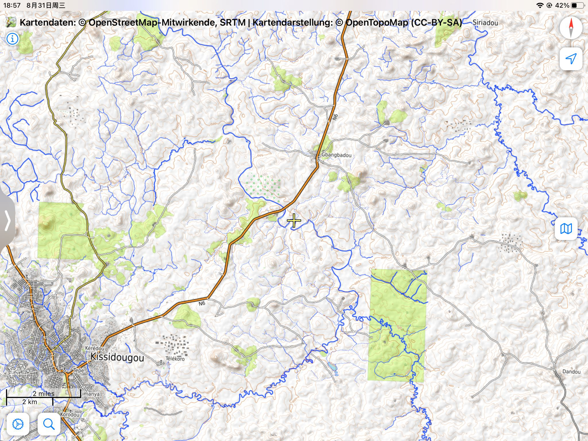
The position marked in the article is only one typical example among them: osm.org/#map=15/9.2019/-10.0495