Лягатып OpenStreetMap OpenStreetMap

Дзёньнік alexkemp

Апошнія запісы ў дзёньніку

Mapping Changing Street-Names in Nottingham City :: 1900 to current

Дасланы alexkemp 26 Лістапад 2022 на English. Апошняе абнаўленьне 1 Студзень 2023.

26 November 2022
The last page in this sequence of diary entries used to be “1800 to current”. It became so large as to become unreasonable, so I have broken it up into two pages: the original first half is now 1800 to 1899, whilst the second (this page) is now “1900 to current”.

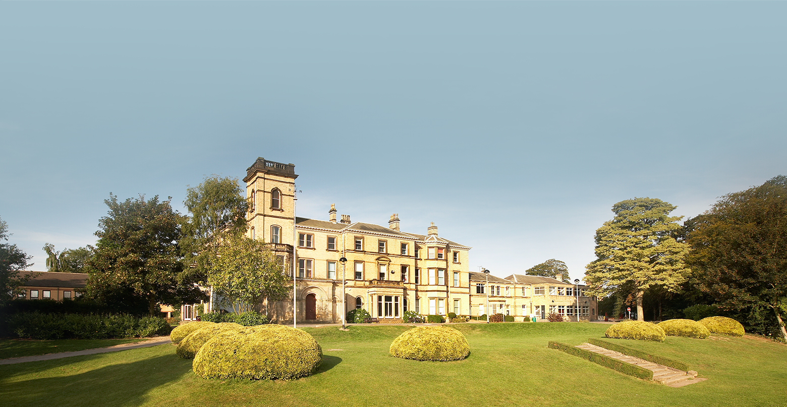
Details:– 1900 to current

See full entry

Месцазнаходжаньне: Lace Market, St Ann's, Nottingham, East Midlands, England, NG1 1PR, United Kingdom

Mapping Changing Street-Names in Nottingham City :: 1800 to 1899

Дасланы alexkemp 2 Лістапад 2022 на English. Апошняе абнаўленьне 4 Снежань 2022.

26 November 2022
The last page in this sequence of diary entries used to be “1800 to current”. It became so large as to become unreasonable, so I have broken it up into two pages: the original first half is now “1800 to 1899” (this page), whilst the second is now 1900 to current.

Details:– 1800 to 1899

  • 1800 July 2: Twin Acts of Union are enacted by the Parliaments of Great Britain and of Ireland to create the United Kingdom of Great Britain and Ireland (this was all of Ireland; previously the union was a Personal Union due to having the same monarch — see 1541). These Acts came into force on 1 January 1801, and the 1ˢᵗ joint Parliament was on 22 January 1801.
     
    This was the moment when the modern UK Flag came into being (used as a “Union Jack” on UK ships). It is the 1707 Great Britain flag united with the red saltire of Ireland. Interestingly, the GB flag is symmetrical, whilst the UK flag is not (meaning that it should NOT be hung upside-down nor reversed).

See full entry

Месцазнаходжаньне: Lace Market, St Ann's, Nottingham, East Midlands, England, NG1 1PR, United Kingdom

Mapping Changing Street-Names in Nottingham City :: 1600 to 1799

Дасланы alexkemp 2 Лістапад 2022 на English. Апошняе абнаўленьне 22 Снежань 2022.
Месцазнаходжаньне: Lace Market, St Ann's, Nottingham, East Midlands, England, NG1 1PR, United Kingdom

Mapping Changing Street-Names in Nottingham City :: 1400 to 1599

Дасланы alexkemp 2 Лістапад 2022 на English. Апошняе абнаўленьне 21 Снежань 2022.
Месцазнаходжаньне: Lace Market, St Ann's, Nottingham, East Midlands, England, NG1 1PR, United Kingdom

Mapping Changing Street-Names in Nottingham City :: 1200 to 1399

Дасланы alexkemp 2 Лістапад 2022 на English. Апошняе абнаўленьне 21 Снежань 2022.
Месцазнаходжаньне: Lace Market, St Ann's, Nottingham, East Midlands, England, NG1 1PR, United Kingdom

Mapping Changing Street-Names in Nottingham City :: Early to 1199

Дасланы alexkemp 2 Лістапад 2022 на English. Апошняе абнаўленьне 12 Снежань 2022.
  • Foreword + Summary
     
    (What followed the original Foreword + Summary was a single, complete list of dates & significant events on those dates. I should have realised — but did not — how easily that would become long & unwieldy for a single post. So, whilst it is simpler for searching to keep everything on one page, for ease of loading I’ve split everything into 5 x 200-year chunks.)

Details:– Early to 1199

This first post covers way more than 200 years, and Nottingham barely features at all (the first direct mention is at 800). However, each army that travelled in the East of England from south to north (or the reverse) would have had to travel by either Nottingham or Derby due to the barrier posed by the Trent + Humber (these rivers cannot be forded below West Bridgford).

[There is one caveat to offer to the last sentence above: the roman road Ermine Street travelled from London to Lincoln to York, and the Humber Bridge did not exist at that time. That suggests that the Roman Army waded across the Humber. Graham Boanas also did that on August 21, 2005, but as someone born in Hull I would not advise it to anyone else.]

See full entry

Месцазнаходжаньне: Lace Market, St Ann's, Nottingham, East Midlands, England, NG1 1PR, United Kingdom

Forgotten Heroes

Дасланы alexkemp 23 Верасень 2022 на English. Апошняе абнаўленьне 14 Кастрычнік 2022.

Arthur Brown

Joseph Bazalgette is rightfully lauded as an accomplished Engineer & heroic in many actions, including in his role as chief engineer of London’s Metropolitan Board of Works, implementing gargantuan sewage works that will have saved millions of Londoner’s lives from the threats of cholera & other water-borne diseases. Few people will realise that there are many similar Victorian-era heroes within Nottingham’s history, and it is likely that even fewer people could name any of them.

Go to this diary entry for more info on any year quoted here.

Today’s diary will commemorate Nottingham’s Borough Surveyor and Engineer Arthur Brown, and underline his achievement in designing & building the 1884 Beck Valley Storm Water Culvert.

See full entry

Месцазнаходжаньне: Thorneywood, Sneinton, Nottingham, East Midlands, England, NG3 2PB, United Kingdom

Egg On Face

Дасланы alexkemp 20 Верасень 2022 на English.

Time for a humiliating admission.

Year-dates below can be cross-referenced within my last diary-entry: Mapping Changing Street-Names in Nottingham City.

This was sparked by a visit to the Manuscripts & Special Collections (MSS) at the University of Nottingham on 6 July this year. I was conducting research into water & sewage history within St Ann’s and was there to research (what turned out to be) the 1883 Beck Valley Storm Water Culvert. That needs a diary entry all for itself, but today I need to stay on subject.

Mapping the culvert began on 15 September and, fortunately, began at the River Trent end (on Trent Lane). ‘Fortunate’ because, 5 years ago, will_p had mapped it and — my assumption — had found the culvert outflow nameplate and had both recorded and used it in his mapping.

So, mapping started at the southern, riverside edge of Trent Lane & continued northwards towards Bath Street, ending today as I reached The Wells Road, following what had been recorded in the MSS.

I was in great mood as I started, since I now had an official name for the culvert. That mood began to deteriorate as it continued. Roads were skew-whiff & houses off their centre. It seemed that earlier mappers had not used any imagery-offset corrections. I was fixing everything that I met as good as I could, but it was beginning to wear me down.

See full entry

Mapping Changing Street-Names in Nottingham City

Дасланы alexkemp 9 Ліпень 2022 на English. Апошняе абнаўленьне 26 Лістапад 2022.

Foreword

I live in the St. Ann’s electoral ward of the City of Nottingham. As well as wishing to be able to improve the coverage of old_name + start_date for each street in Nottingham, I am intrigued to be able to discover when streets were laid out, metalled, drained & provided with sewers. Today that all seems normal, but I was astonished to discover that Blue Bell Hill Road had no street drainage nor sewers until the 1970s; a friend in Dowson Street has a well in their basement, whilst their road also has zero street drainage nor sewer, plus no water main through the street (water supply, sewer + drainage only at the rear of the terrace).

Like many cities in the UK, Nottingham has suffered shed-loads of physical upheaval/churn across the years. That has led to the appearance, alteration, disappearance and/or reappearance of streets and thus of street-names. I’ve recently gotten access to definitive information on (at least some of) those changes, and decided that I should strike the iron whilst it is hot. This diary is going to concentrate on local streets + national communication (rivers/canals/railways) as they apply to Nottingham City; it will also filter in items of national importance that occurred in Nottingham and/or affect the whole UK.

First, here is the OpenStreetMap Wiki on names.
Second, the principal sources I’ve been using:

See full entry

Месцазнаходжаньне: Lace Market, St Ann's, Nottingham, East Midlands, England, NG1 1PR, United Kingdom

Mapillary No Longer Allows Photos to Show on Foreign Sites

Дасланы alexkemp 7 Ліпень 2022 на English. Апошняе абнаўленьне 20 Ліпень 2022.

My last fortnight has been spent updating the photo-URLs within these diaries of pictures that I’ve taken whilst mapping. By default the Mapillary page will normally show a small version of any photo in it’s GIS-database, whilst behind it is a map using OSM-mapping; here is an example of that, showing the front of a business called AST, as it was displayed in a 12 July 2019 diary.

In the past the owner of the photo — the person that uploaded it to Mapillary — was given a button that would give them a URL that allowed them to download the raw file of the original photograph. That was useful for webpages such as these diaries, since it allowed the photograph to be displayed. However, Mapillary has changed it’s policy on the usage of those download URLs.

At some time in the past Mapillary changed the URL format for both map-display pages & download-file pages. The original map-display URLs had the following format (1st line below) whilst the download-files were 2nd-line below (the IDs in each URL were identical for a specific photo):

  • https://www.mapillary.com/map/iM/<12-digit-alpha-ID>
  • https://d1cuyjsrcm0gby.cloudfront.net/<12-digit-ID>/thumb-2048.jpg

Mapillary changed the format to the following (sorry about this):

  • https://www.mapillary.com/app/?pKey=<16-digit-numeric-ID
  • https://scontent-man2-1.xx.fbcdn.net/m1/v/t6/<150-digit-alpha-ID>?stp=s2048x1152&ccb=10-5&oh=<61-digit-alpha-ID>&_nc_sid=122ab1

Mapillary also made 3 crucial extra decisions:

  1. The map URL would auto-rewrite via a 302 between the old & new format
  2. The old Download URL would NOT rewrite to the new
  3. The new Download URL would timeout after 14 days (or maybe less) (appears to be just 2 days)

Thus, after 14 days of trawling through every relevant page & changing all relevant URLs the photos are still not showing. I’m not happy.

And here the relevant photo to see what happens:

See full entry

Fixing JOSM Launch Error

Дасланы alexkemp 7 Ліпень 2022 на English. Апошняе абнаўленьне 8 Ліпень 2022.

I tried to launch JOSM for the first time in a little while & got the error:

failed to execute josm-latest no such file or directory

It had worked fine the last time I used it & had been continuously updated every since.

Searching for the Fix

An internet search did not reveal anyone reporting the same error, but did point me towards the GitHub site (more on that later, with the eventual fix at bottom of this diary post). Searching the computer did not help much, but it did reveal the .desktop menu file:

$ locate josm-latest
/etc/default/josm-latest
/usr/bin/josm-latest
/usr/share/applications/org.openstreetmap.josm-latest.desktop
/usr/share/josm-latest/josm-latest.jar

My local .desktop menu file is identical to the GitHub-code latest .desktop file. I tried running the exec-line in that file from a console (I work under Devuan, which is a Linux distribution):

$ josm-latest %U
bash: /usr/bin/josm-latest: /usr/bin/bash: bad interpreter: No such file or directory

Here is the reason why:

$ file /etc/default/josm-latest
/etc/default/josm-latest: ASCII text
$ cat /etc/default/josm-latest
# Options to pass to java when starting JOSM.
# Uncomment the JAVA_OPTS lines to enable their use by /usr/bin/josm-latest

# Increase usable memory
#JAVA_OPTS="${JAVA_OPTS} -Xmx2048m"

# Enable OpenGL pipeline (2D graphic accelerators)
#JAVA_OPTS="${JAVA_OPTS} -Dsun.java2d.opengl=True"
$ file /usr/bin/josm-latest
/usr/bin/josm-latest: Bourne-Again shell script, ASCII text executable
$ head -1 /usr/bin/josm-latest
#!/usr/bin/bash
$ la /usr/bin/bash
ls: cannot access '/usr/bin/bash': No such file or directory
$ which bash
/bin/bash

(translation): Neither josm-latest provided within the latest JOSM is fit for purpose:

See full entry

HU School Mapping Completed

Дасланы alexkemp 24 Травень 2020 на English. Апошняе абнаўленьне 25 Травень 2020.

Phew. ~200 schools.

Hull was my birth-town and where I lived until ~30. I have now lived in Nottingham longer than I did in Hull.

It was fascinating to see the scale of change in the schools that I know. I do not think that a single school that I attended or knew remains in use, let alone is unchanged.

That’s Hull for you.

Now it is hello SA (Carmarthenshire / Sir Gaerfyrddin).

Tranby Croft, Hull Grammar School & Hull Collegiate School

Дасланы alexkemp 19 Травень 2020 на English. Апошняе абнаўленьне 21 Чэрвень 2022.

We are still in Covid-19 Lockdown, I’m still diligently mapping schools in the HU (Hull & East Riding of Yorkshire) Postcode, and I’ve reached an interesting school near Anlaby that incorporates my family’s Alma Mater of Hull Grammar School (I wondered where it had gone).

Tranby Croft

HE tags for Tranby Croft (these are specific for the UK):–

  • heritage:operator=Historic England
  • heritage=2
  • listed_status=Grade II
  • HE_ref=1103387

Hull Grammar School

See full entry

Месцазнаходжаньне: Wilmington, Stoneferry, Hull, Kingston upon Hull, Hull and East Yorkshire, England, HU8 8BZ, United Kingdom

A YouTube Video on Mapping Buildings

Дасланы alexkemp 16 Травень 2020 на English.

JOSM HowTo: map buildings

YT thumbnail

After the glorious success of mapping Schools with JOSM it was obvious to produce a series of shorts showing how-to-map elements of the schools, and let’s start with howto map school buildings.

Less than 8 minutes long, it does what it says on the can; it shows how to map a school building.

…and now a YouTube Video on Mapping Schools

Дасланы alexkemp 12 Травень 2020 на English. Апошняе абнаўленьне 15 Травень 2020.

JOSM HowTo: map schools

YT thumbnail
(above: using roundabouts to align imagery offsets)

My very first video(s) uploaded to YouTube. The first is very long, very slow. Hopefully, an easy entry-ramp for those considering using JOSM to map for OSM. Otherwise, 35 minutes of boredom.

(later videos are much shorter)

See full entry

OSM in Practical Use — By Historic England

Дасланы alexkemp 12 Травень 2020 на English.

(Noticed this for the 1st time)

Ploughing through East Yorkshire schools, using a combo of mathmos.net & the government Schools Information Service to add full Address & Contact details to all HU schools, I’ve reached St George’s Primary School off Anlaby Road in Hull. Whilst checking that this was the correct school (very few EY schools — and how absolutely fantastic is it that the entire County has refused to accept the 1975 “Humberside” as their county & gone in their entirety back to “East Riding of Yorkshire”? yeah! — are properly mapped & registered, so it is necessary to check most carefully the mathmos.net correlation) I came across a photo showing on the front of the building that this was a “Board School”, and thus probably established in Victorian times (start_date=1881).

I spent a little time living not too far from this school and, after completing the main mapping, began to try to find when it was built. That brought me to the Hull Carnegie Heritage Centre, where I discovered that the road was started in the 1870s & the school was built in 1881 by the Newington School Board in the very classic Gothic style of that era. The page also states that it is “now a Grade II Listed building and one of Hull’s oldest surviving school buildings”. And here it is (list entry:1197690):–

See full entry

Месцазнаходжаньне: Dairycoates, Hull, Kingston upon Hull, Hull and East Yorkshire, England, HU3 4NG, United Kingdom

OSM in Practical Use — By an Irish School

Дасланы alexkemp 8 Травень 2020 на English. Апошняе абнаўленьне 10 Травень 2020.

Just to show how forward-reaching & intelligent the Irish are! You will find the OSM map in use at the extreme bottom of this Contact page for Hazelwood College, Newtownabbey, County Antrim:

It is a remarkably complicated set of <div>s which, at it’s heart, makes use of 4 x .png images to draw the map. It looks very professional (well done NI mappers!).

…and this map at the bottom of Hazelwood Primary School Contact page (just like buses, huh?):

**10 May update:
Having moved on to the HU (East Riding of Yorkshire) postcode, the 5th school I map shows an OSM map at the bottom of the page; hoorah!:

Месцазнаходжаньне: Greencastle, Belfast, County Antrim, Northern Ireland, United Kingdom

(literal) Crop Circles in Northern Ireland

Дасланы alexkemp 7 Травень 2020 на English.

5 or more occasions each day currently I go hunting through JOSM imagery looking for road roundabouts. I’m not completely mad; they are the best way (short of making GPS tracks whilst personally surveying) to correct the Imagery offsets for Bing & Esri satellite photos.

The above has happened so frequently lately during this Lockdown period (not being able to go out & survey) that I’ve become utterly obsessed with them, spending half the day, on one occasion, hunting out grass-filled roundabouts to map.

I’m currently mapping schools in Northern Ireland, and the Irish have just a bare fraction of the number & variety of road roundabouts that we English have. However, what I have observed them to have is large road-enclosed circles within their fields. Don’t believe me? Well, I’ve observed more than one. Here is the latest, which I mapped (due south of Downpatrick):

What on earth is that about?

Месцазнаходжаньне: Ballystrew, Marshallstown, Newry, Mourne and Down District Council, Northern Ireland, United Kingdom

St Edmund’s College, Hertfordshire

Дасланы alexkemp 5 Травень 2020 на English. Апошняе абнаўленьне 12 Травень 2020.

I’m astonished at the quality of Herts. schools and, so far, all in close proximity to Ware.

St Edmund’s College

This is a 400 acre site for a co-educational, Catholic college originally established in 1568. It was founded on that date in Douai, France, as a seminary to train priests and (later) also a Catholic school for boys. It transferred to the current site in England in 1793 to escape the depredations of the French Revolution. Girls from the adjacent Poles Convent were first admitted into the Sixth Form in 1975, and the College became fully co-educational in 1986.

St Edmund’s uses the founding date to claim their school as “the oldest Catholic School in England”.

I’m hoping to be able to construct a relation of all the site features, as with Haileybury and Imperial Service College, and have left a message on their answerphone. I’ll bring this little missive up to date if they respond.

Ermine Street

I seem to keep mentioning in these diaries schools that are close to Ermine Street.

See full entry

Месцазнаходжаньне: Standon, East Hertfordshire, Hertfordshire, England, United Kingdom