
Щоденник fidelcastrogis
Останні записи в щоденнику

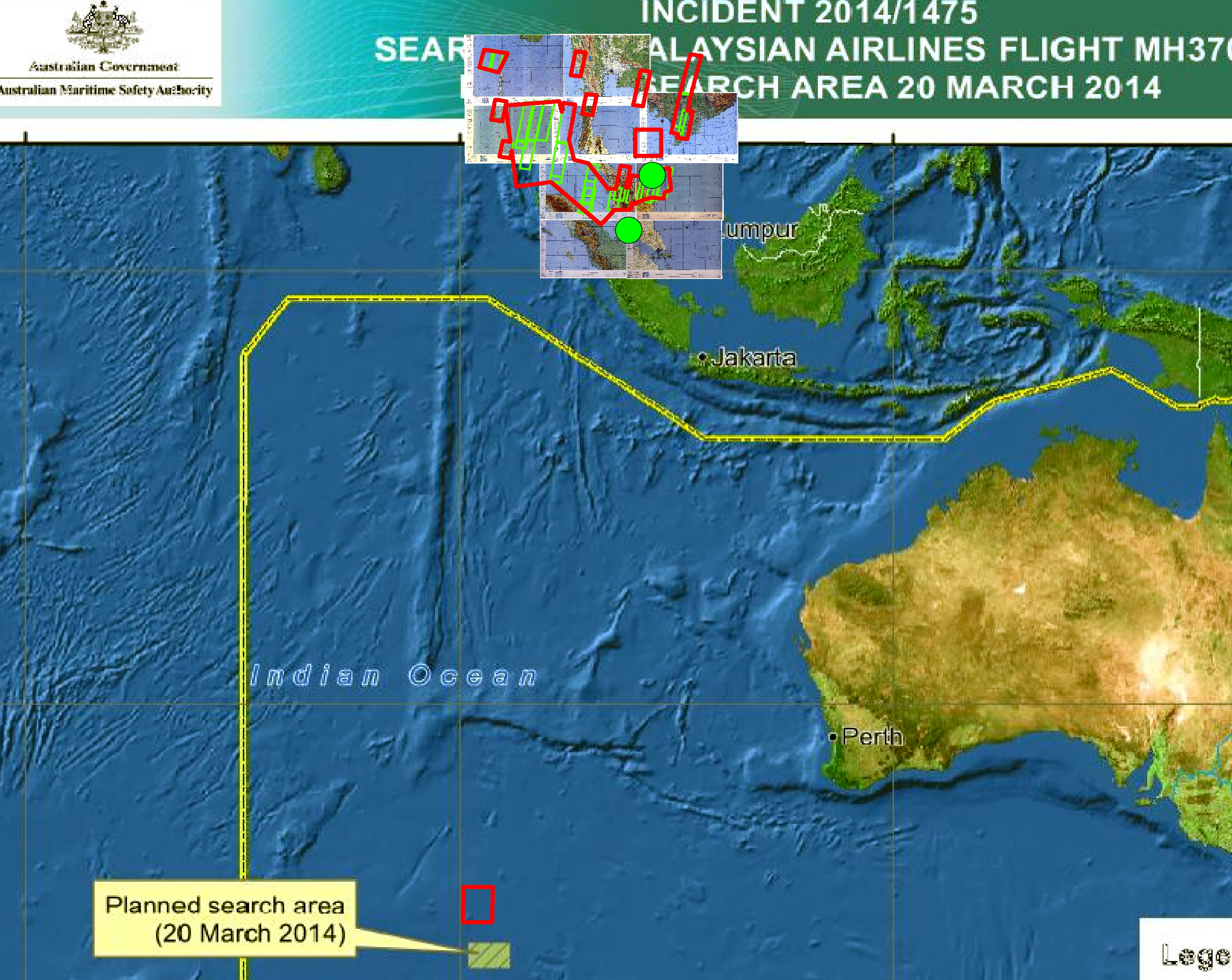
Any updated geospatial data from governments about MH370?
Опубліковано учасником fidelcastrogis 20 Березня 2014, мова: EnglishAny sources or links?
Thanks, Fidel

المملكة العربية السعودية التجمعات السكانية الإحداثيات الجغرافية (Saudi Arabia communities geographic coordinates)
Опубліковано учасником fidelcastrogis 1 Березня 2014, мова: English
Tel Aviv Streets and Neighborhoods
Опубліковано учасником fidelcastrogis 22 Лютого 2014, мова: English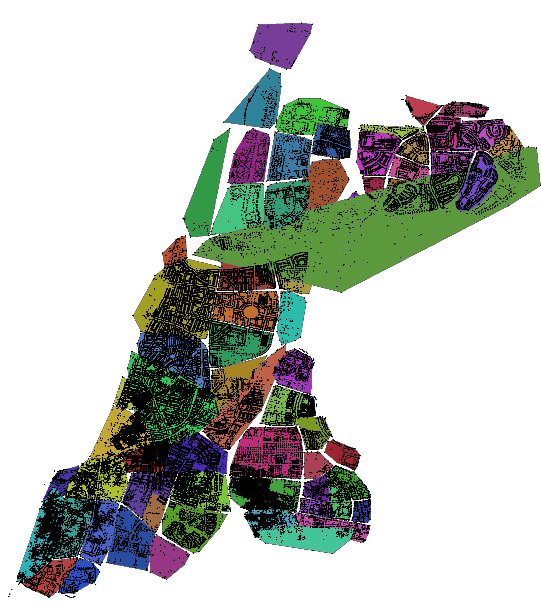
Saudi Arabia (Jeddah), Colombia, Belize, FAA, and United States GIS and Shapefile Data
Опубліковано учасником fidelcastrogis 15 Лютого 2014, мова: EnglishPublic Domain Boundaries Pakistan, Rwanda, and Haiti
Опубліковано учасником fidelcastrogis 8 Лютого 2014, мова: EnglishPeru, Argentina, Chile, and India Boundary Shapefiles
Опубліковано учасником fidelcastrogis 1 Лютого 2014, мова: English
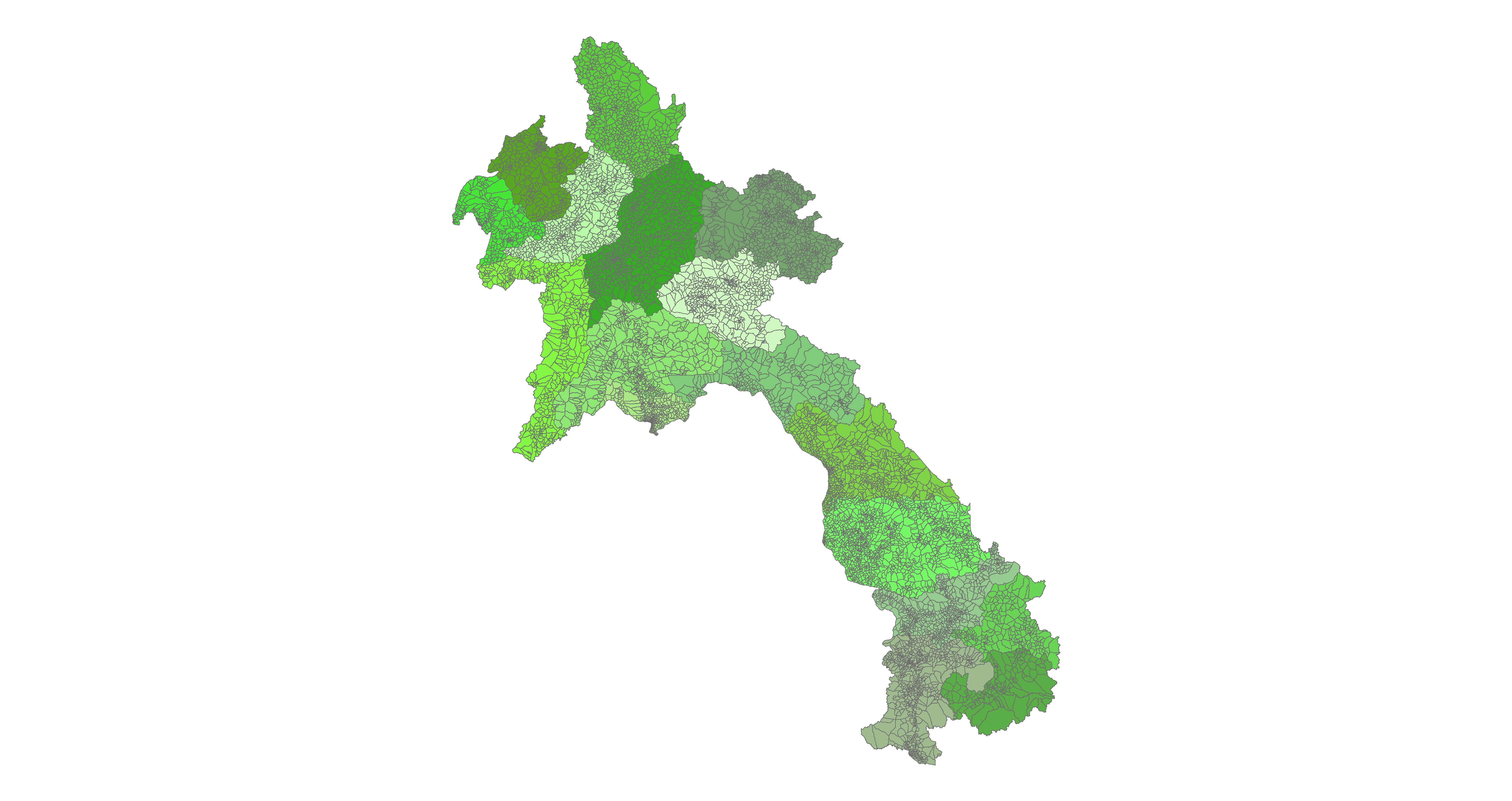
Indonesia Shapefile Boundaries (Province, Regency, and Village)
Опубліковано учасником fidelcastrogis 25 Січня 2014, мова: English
India, China, Honduras, and El Salvador GIS Admin Shapefiles
Опубліковано учасником fidelcastrogis 18 Січня 2014, мова: English
New administrative boundaries Thailand, Uruguay, Nepal
Опубліковано учасником fidelcastrogis 11 Січня 2014, мова: English
New administrative boundaries Tanzania, Ivory Coast, and Slovenia
Опубліковано учасником fidelcastrogis 4 Січня 2014, мова: EnglishMunicipios De Nicaragua Shapefile
Опубліковано учасником fidelcastrogis 26 Грудня 2013, мова: EnglishOpen data from 2004 or before, shapefile format: http://revolutionarygis.wordpress.com/2013/12/26/municipios-de-nicaragua-shapefile/
Hello! I am working on a few boundaries in China. I recently finished Deqing County, Huzhou. The data is in shapefile format here: http://revolutionarygis.wordpress.com/2013/12/20/deqing-county-huzhou-city-zhejiang-province-china-shapefile/
Are there any contributors in China who know where to find vector data? Also, can maps that the government publishes be used?
Fidel
China
Опубліковано учасником fidelcastrogis 20 Грудня 2013, мова: English В останнє оновлено 21 Грудня 2013.Does anyone know where to find good open data for China? Can I make maps from official government documents?
I’ve obtained a government document from La Oficina Nacional de Estadísticas. I converted the pdf to a shapefile here: http://revolutionarygis.wordpress.com/
If you want other gis let me know. I am working on Nicaragua, India, and a few other places.
Fidel