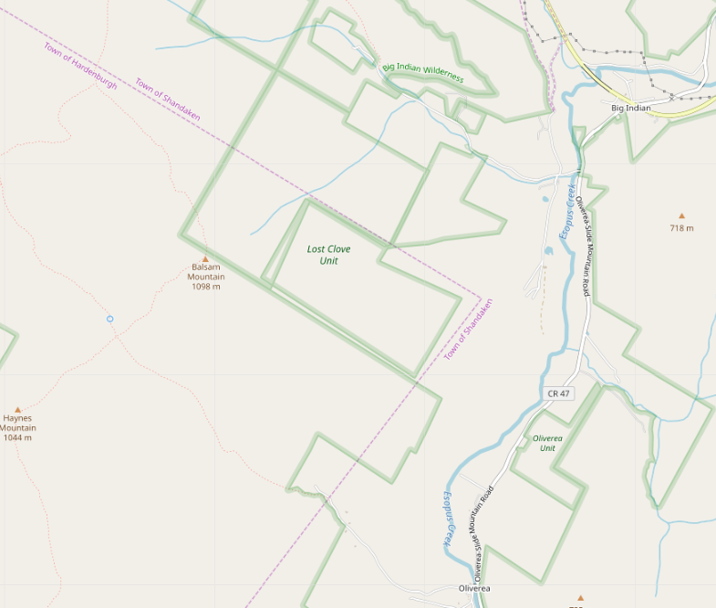
At long last, I’ve done a complete pass over municipal and CDP
boundaries in New York State. Barring errors and omissions (I
daresay there must be some) every incorporated community and every
CDP in the state has had its border checked against NYSGIS
Civil Division Boundaries and TIGER/Line 2021 respectively, almost
always resolving conflicts in favour of the former.
All have place=* nodes representing them, with the node a label
member of the boundary relation.
Populations are updated as of the 2020 Census. GNIS, FIPS, NYS SWIS, Wikipedia and Wikidata links are provided.
Most of the remaining work that I’d have to do before I consider
the job to be done has to do with the tagging on the place=* nodes.
Right now, they’re a hodgepodge. Most of them came in from the TIGER
import of 2008 with place=* representing their form of government.
This is NOT an indication of the significance of the place.
Brentwood, Long Island, a bustling community of over 60,000 souls,
is tagged place=hamlet because it does not have home rule.
Geneva, a sleepy lakefront village is 3400 inhabitants or so,
is tagged place=city because it has a city charter.
For a first stratification, I’d propose simple thresholding on population:
… 查看完整日記項目

