Because I love it.
Open data is changing the world. OpenStreetMap, as a true open data project of the commons, is proving its viability with continuously growing contributor numbers and expanding adoption. We’re well under way to replace what has been historically the realm of governments and proprietary-data companies with amazing open data that is not better because it’s cheaper, but actually provides fresher and more detailed data because it’s open and community driven. It’s exciting to be a part of this in my job as data lead at MapBox, as an individual contributor and as a board member of the OpenStreetMap US chapter.
This last year on the board of OpenStreetMap US has been amazing. Working together with Jim, John, Randy and Martijn on the board and with the great support of community members like Kathleen Danielson, Bonnie Bogle and Ian Dees, we’ve brought the organization to a new level. We’re honing in on our goal to not only promote OpenStreetMap in the United States, but to make it bigger, stronger and more diverse. Here are some of the things we’ve accomplished:
- Ran the biggest OpenStreetMap conference to date, bringing together almost 400 members of the US and international community in San Francisco.
- Ran quarterly editathons promoting OpenStreetMap on a local level. Twelve cities are participating in the October editathon, and more than 1,000 edits came out of the last one.
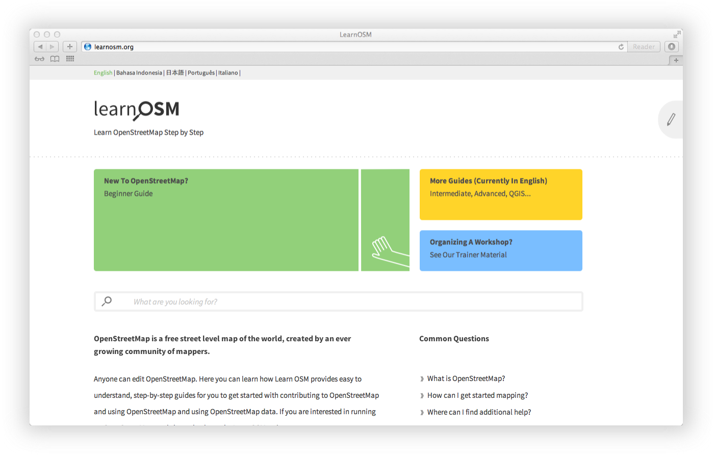
- Relaunched OpenStreetmap US to do a better job introducing OpenStreetMap to the world.
- Connected with government agencies to promote the use of OpenStreetMap and explore areas of cooperation.