
We need to look at consistency of coverage in the Philippines. Let's target LOD1 first.
Posted by maning on 20 February 2014 in English.For the past several months, OSM Philippine data is getting noticed by a good number of people and organizations. This is in part because of our crisis mapping in response to Typhoon Yolanda/Haiyan but, I also think the data is now in a usable state in many areas thanks to the dedication of local mappers.
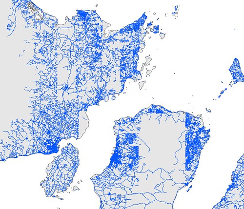
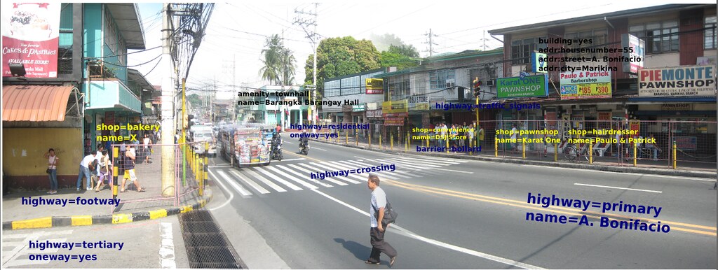
As I look around the map, there is obviously a lot of inconsistency in data coverage. Some are mapped up to the individual buildings while others just a place=town node and nothing else.
Two things I consider to be a factor of this situation:
- Most mapping are based on satellite imagery. In the case of my country, while imagery is available over large areas, many areas still don’t have hi-res imagery. This makes mapping “stop” at the edges of the imagery. The image below shows roads digitized during Yolanda mapping (map).


