
Extracting building height from drone imagery
Posted by maning on 26 August 2019 in English. Last updated on 27 August 2019.I experimented with extracting the heights values from the drone imagery and add them to the building polygons traced in OpenStreetMap. Read along if you want to understand the process or just go here to see it in action here!
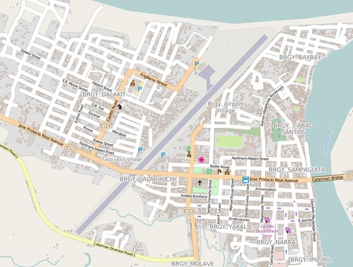
 3D buildings around Foundation University, Dumaguete
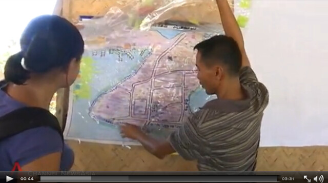
Day 3 of Pista ng Mapa last Aug 3, 2019 was a series of field mapping activities. A couple of people did on the ground survey with field papers and mapillary. Our resident drone Mapher Leigh deployed her DJI Phantom 4 to survey the event venue and its surrounding community. Leigh uploaded all the drone derived data into OpenAerialMap including the elevation models! Using QGIS 3.6, I decided to explore ways to extract the heights from the derived DSM/DTM and use it for visualizing building polygons from OpenSteetMap.
For this exploration I used QGIS 3.6 with the GRASS GIS, Profile tool and QGIS2threejs plugin.


