
Using a 3d mesh to support more accurate mapping with slum communities in Sierra Leone
pedrito1414 于 2024年五月22日 以 English 发布At HOT, we are working on a collaboration with communities in informal settlements in Sierra Leone as part of the Know Your City project led by Slum Dwellers International.
The remote mapping of the settlements is hard, even with the excellent drone imagery flown by OpenStreetMap Sierra Leone. The environment is really dense, roofs overlap at different heights and structures that look like one from the sky actually include multiple buildings.
However, we have found the use of 3d and 2d imagery renders in parallel to be a bit of a game changer for this mapping activity. The mesh produced from the drone images allows us to angle and tilt in a way that we can better see how roofs interact with each other, what height they are and even sometimes how buildings are divided inside. We think this has vastly improved the accuracy of what we are able to do remotely.

3d mesh of Kolleh Town, Freetown, Sierra Leone
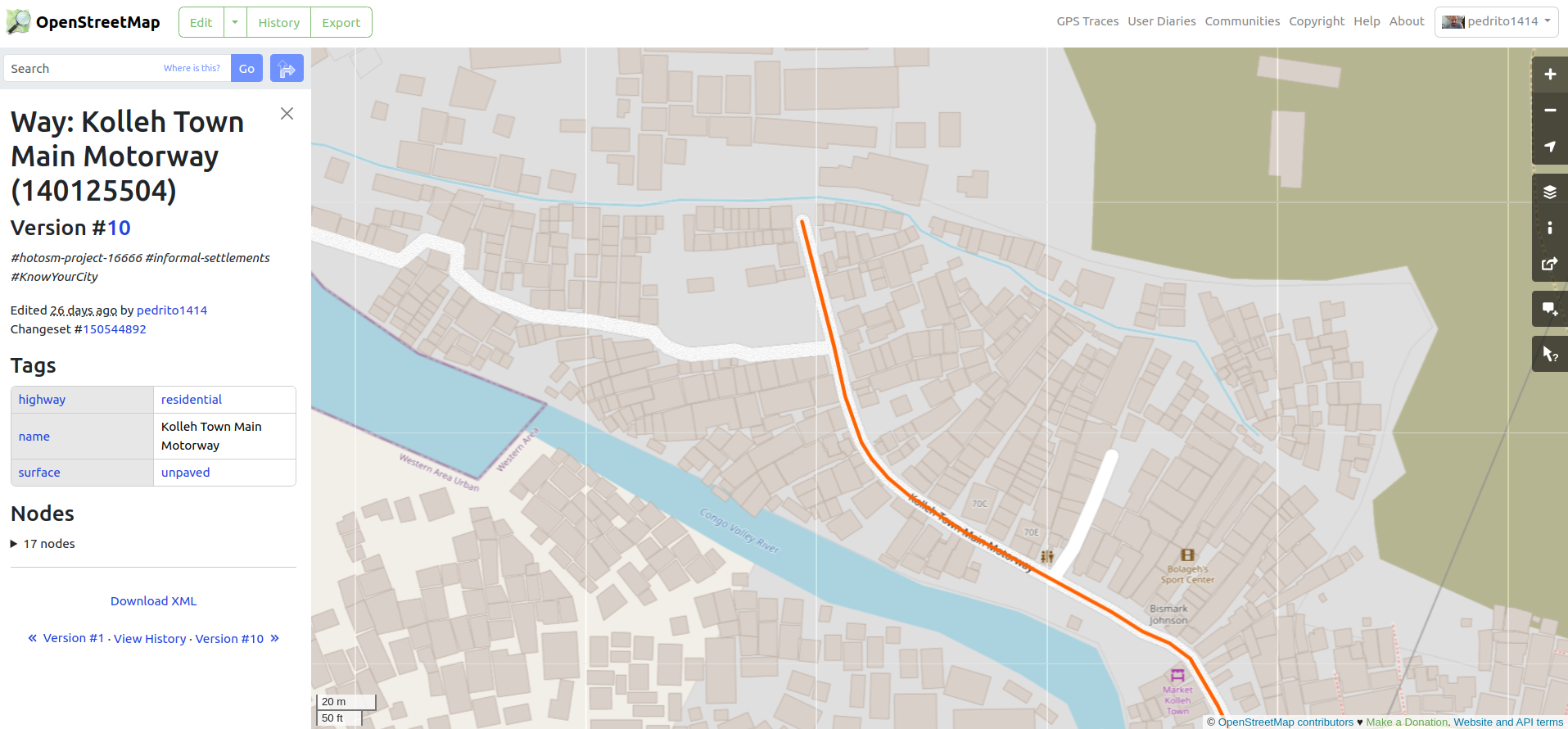
The mapped area on OpenStreetMap
The remote mapping will be followed by comprehensive field mapping and surveying by the local community and the team at CODOHSAPA using the Field Mapping Tasking Manager, so it is important to get the basemap as accurate as possible.
A big thanks to OSM Sierra Leone for their support and collaboration on this project as well as our partners at SDI, CODOHSAPA, Freetown City Council and Catholic Relief Services.
讨论
Tommy G D Charles 于 2024年05月22日 09:41 的评论
I believe that this is a reliable method of mapping remotely. It also gives the opportunity to combine both filed and armchair mapping, thereby giving mappers complete understanding about the communities they map.
Raquel Dezidério Souto 于 2024年06月 2日 17:03 的评论
Congratulations for this initiative! Are these imagens hosted in OpenAerialMap? Another question is if Field Mapping Tasking Manager worked 100% or there was some problem/dificult… Thank you so much.
pedrito1414 于 2024年07月18日 16:14 的评论
Hi Raquel, sorry for the delay. Yes, images are on OAM - eamples here https://map.openaerialmap.org/#/-13.246829509735107,8.487377008102237,16/square/03332112322300131?_k=98h5ls
The field mapping tasking manager part hasn’t started yet as the rains are really heavy in Freetown, so the team on the ground is waiting.
pedrito1414 于 2024年08月 3日 12:51 的评论
Hey rtnf, Tommy just put a post up. Maybe it’s useful? osm.org/user/Tommy%20G%20D%20Charles/diary/404746
He is here in case you want to follow up osm.org/user/Tommy%20G%20D%20Charles