trigpoint's Comments
| Changeset | When | Comment |
|---|---|---|
| 152069618 | about 1 year ago | Hi
|
| 151164544 | about 1 year ago | Hi, please do not tag for the renderer.
Cheers Phil |
| 151000504 | about 1 year ago | Hi, what is the source of these names? Cheers Phil |
| 149026774 | over 1 year ago | Well the spelling was correct before this and close to 200 others where tag-fiddled away, https://taghistory.raifer.tech/?#***/display/analogue The tagging language of OSM is British English, or standard English so we should not be changing a correct spelling to American English, or Simplified English as we call it. In my day job, as an Electronic Engineer, I would never use an Americanism such as Analog in a document. |
| 104730770 | over 1 year ago | Hi Kerr
Its just a unnamed spot height on historic OS maps. Cheers Phil |
| 148730502 | over 1 year ago | Please make your changeset comments meaningful to inform other mappers what your intentions are. |
| 148769324 | over 1 year ago | Should we be tagging 'the law'? It doesn't exactly need a survey. |
| 111806991 | over 1 year ago | Hi
Cheers Phil |
| 148228217 | over 1 year ago | @DaveF
|
| 148527943 | over 1 year ago | Bore da
Diolch Phil |
| 148558896 | over 1 year ago | Hi
Cheers Phil |
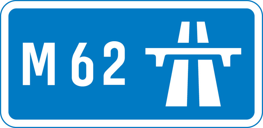
| 125874815 | over 1 year ago | The only public roads you are not allowed to walk on are motorways and where specifically signed. https://assets.digital.cabinet-office.gov.uk/media/55b8bd6fe5274a151e000015/Information-sign-start-motorway.jpg
I assume you are talking about the roads in Warwickshire in this case? Although imho the rights of way make a far nicer walk :) Cheers Phil |
| 125874815 | over 1 year ago | Thank you. All roads and paths are highways :) And the A5 is a very a very ancient one. Removing highway rights is generally no done. We have a saying "Once a highway always a highway" which was coined in 1921. Roads with restricted access are mostly new builds which have never had foot/bicycle/horse access rights. Cheers Phil |
| 125874815 | over 1 year ago | Thank you.
In OSM we map legal access restrictions, not what we think are dangerous. These restrictions should be removed. Cheers Phil |
| 148351759 | over 1 year ago | Hi Greg
Please could you correct this and bear in mind in the future. Diolch Phil |
| 148421488 | over 1 year ago | Hi
Maybe try using iD as a beginner and keep to reality in a smaller area. I have reverted this changeset. |
| 148428377 | over 1 year ago | It is rather unlikely that these roads are still 30 don't you think? |
| 148203638 | over 1 year ago | Why?
Cheers Phil |
| 148008833 | over 1 year ago | Adding English names to the name:cy tag does seem to be corrupting that tag. In openstreetmap if an object has a single name then it belongs in the name tag. Likewise for Tesco and Burger King. So not sure what you are trying to achieve with these edits, they seem to be diminishing Welsh names rather than enhancing them. Now if there was a law to rebrand Burger King as Burger y Brennin then I would be all for it. Diolch Phil |
| 148383862 | over 1 year ago | Please keep your changesets to sensible areas, i.e. single countries. This has created a large changeset with a bounding box covering most of Europe which makes it difficult for mappers to spot what has changed in their local areas. |