"JustGo" : a new map for OSM (local) public transport data visualization
Pleatst troch xoroc op 5 april 2020 yn it English. Lêst bywurke op 6 april 2020.So a few months ago I created an interactive site for public transports around Paris (here; also check my last post, in french) with a custom map made on Mapbox, and using Navitia’s API for itineraries, next departures, etc. But I thought this map design could be useful on its own, so I changed it so that you can download the data of any city you want very easily and it will be displayed on the map. I guess it can be useful because I don’t see a lot of OSM-based transport maps dealing with coloured bus & train lines. The site for this map is here (without itineraries because they are limited to a few places, but you can click on the data on the map and see the tags of the objects). It uses the Overpass API as well as osmtogeojson.
I also put the files on GitHub. (note : it’s the first time I use it, so I may have made mistakes idk).
Enjoy !
Note : if the layer “trains” doesn’t load, consider unchecking “include regional trains”
A few screeshots :
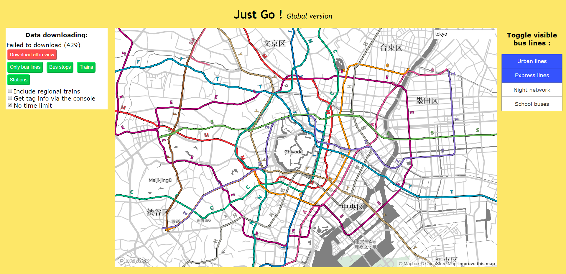
Tokyo subway network:
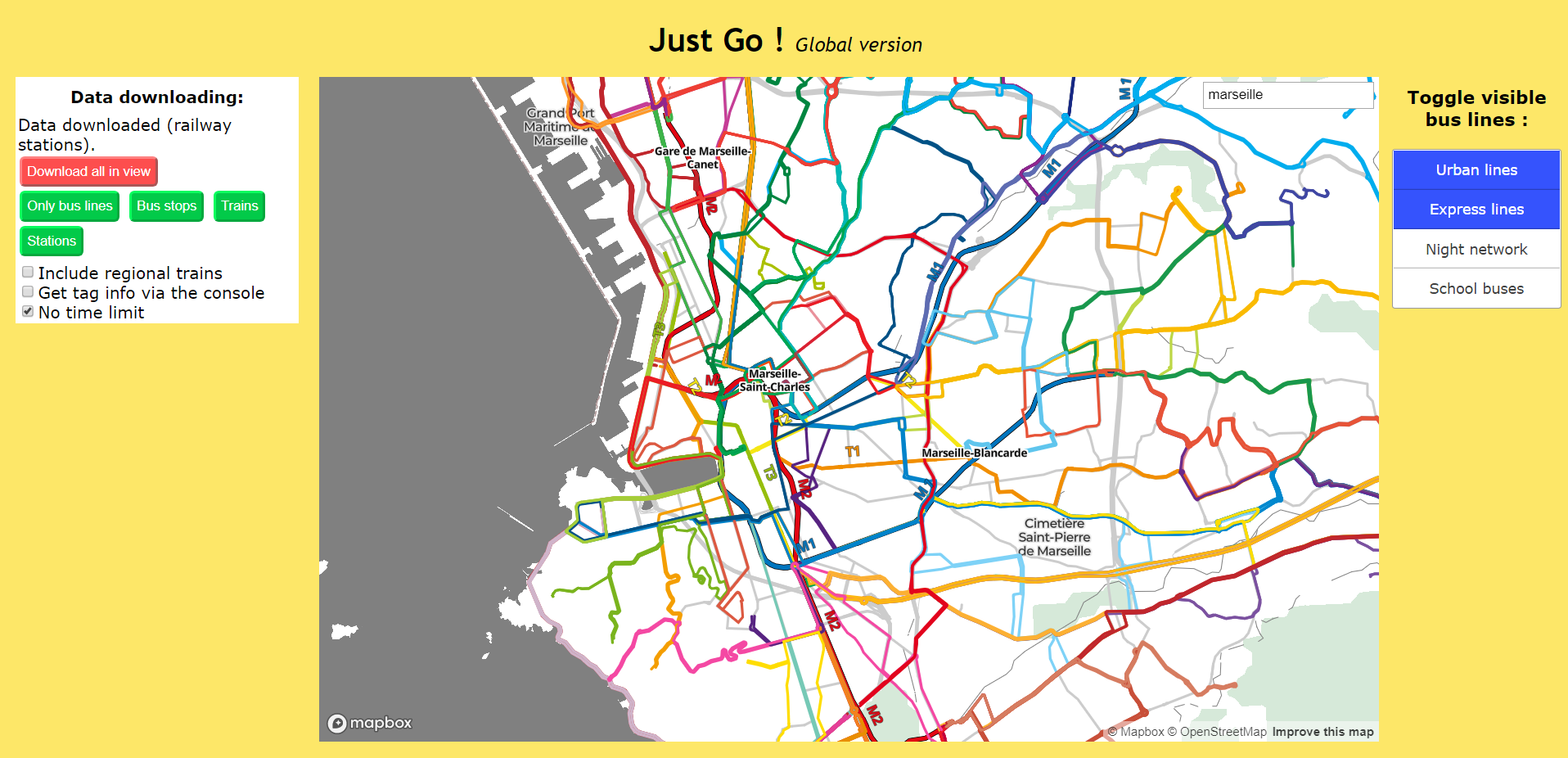
 Marseille, France:
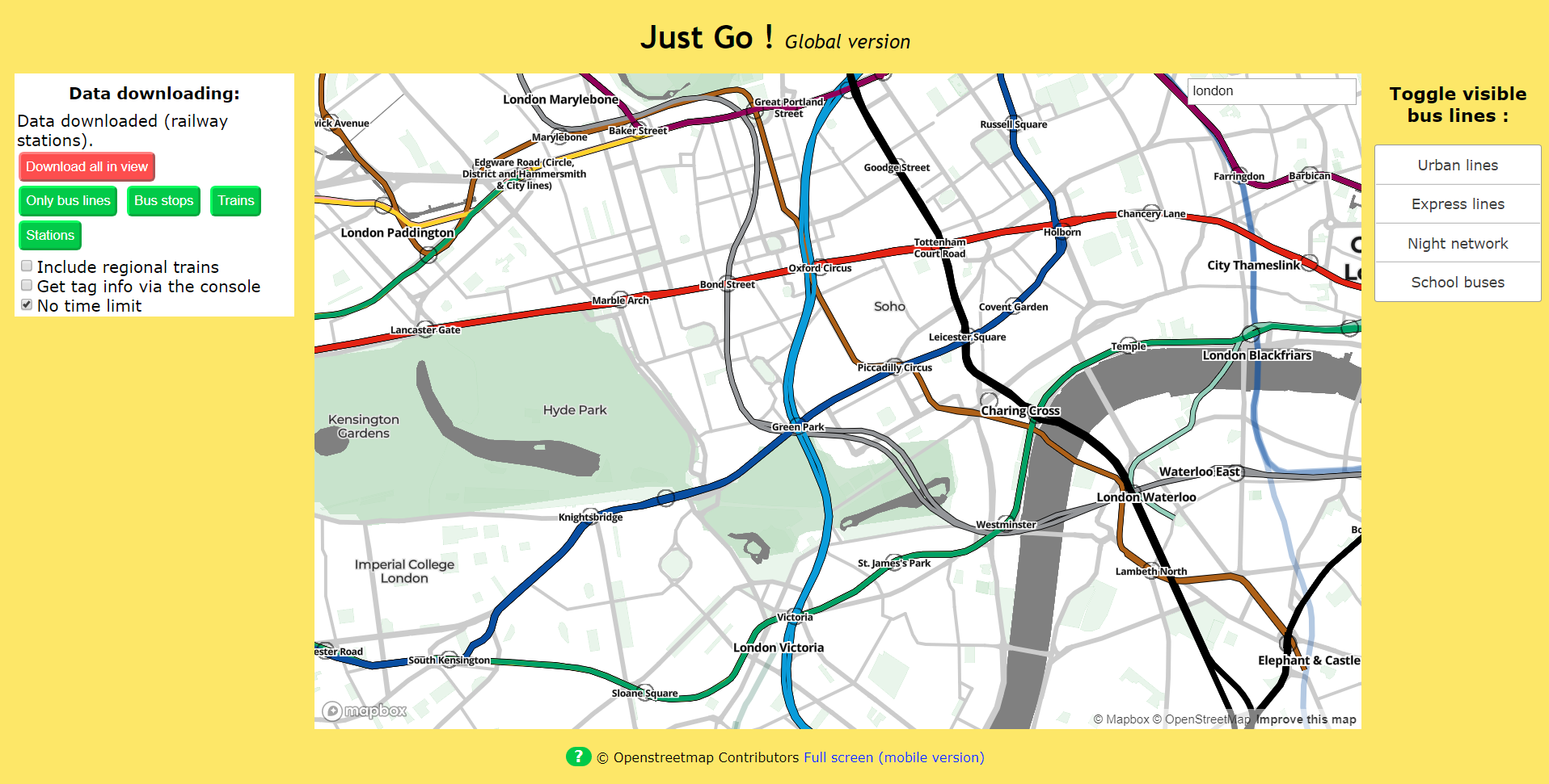
 Tube and stations, London:
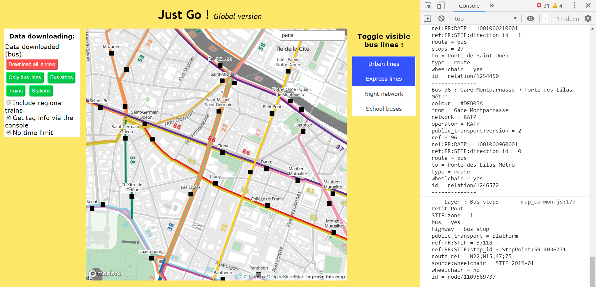
 Paris, buses and bus stops only, near Notre-Dame (with extra infor on the objects in the console) :
Discussion
Reäksje fan gileri op 6 april 2020 om 08.43 oere
Pretty neat !
Maybe you could mention that you are using Overpass API and the overpass-api.de server ? Their server is used by a lot of projects and having a mention is the least consumers can do :)
Reäksje fan xoroc op 6 april 2020 om 09.03 oere
Thank you ! I have mentionned it in this post and on GitHub now
Reäksje fan PlaneMad op 8 april 2020 om 21.27 oere
Very nice, tried it for India and shows the metro networks very well!
Reäksje fan TheDutchMan13 op 24 april 2020 om 03.43 oere
Thank you very much! :D