OpenStreetMap logo OpenStreetMap

pedrito1414's Diary

Recent diary entries

Morocco Earthquake activation started!

Posted by pedrito1414 on 9 September 2023 in English.

Following the earthquake in Morocco last night (08-09 Sept 2023), staff from HOT’s West and Northern Africa Open Mapping Hub and OSM Morocco agreed to launch an activation to support response efforts.

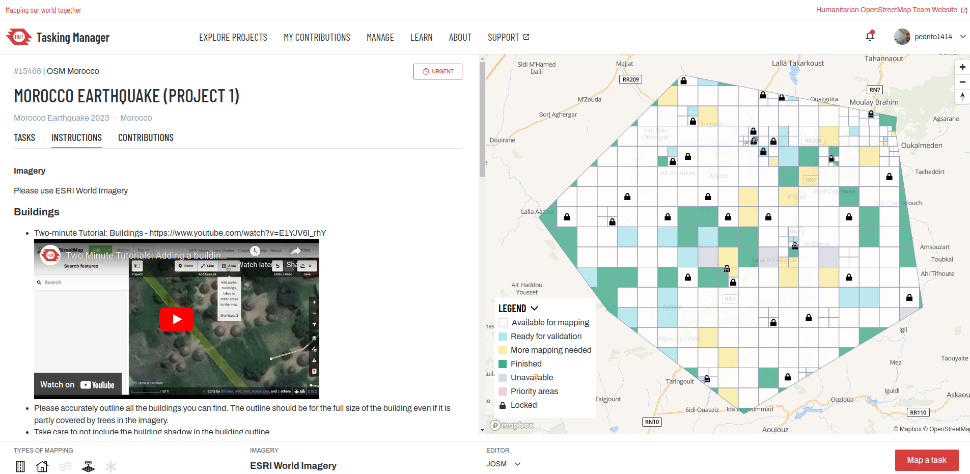
If you would like to support by mapping, please do. The first project is now on the HOT Tasking Manager and more will follow.

HOT Tasking Manager

You can also keep track via the activation wiki page : 2023 Morocco Earthquake.

If you have questions or would like to engage, you can do so via the HOT slack or the OSM community forum.

Thanks in advance for your time and skills in support!

This OSM diary is an English translation of Yekastreet’s OSM diary post called Sobre el “Mapping Workshop 2023”. Translating and re-posting because I enjoyed it so much :D

A reflection of YEKA and our journey…

Among the many kilometres of routes we have mapped in the seven years since Youthmappers started, our own journey as YEKAStreetMGA continues to surprise and please us the most. We have grown as a team, from our first mapathons in the barely equipped classrooms of the university, to the partnerships we are now forming with our local mapping networks. Design by design, we make the use of open data tools a little more accessible. Through methodological design (a term unthinkable for us in the early days), we have now transformed our first university meetings into structured processes to disseminate and share our knowledge with a new community of mappers.

What we have experienced as students, as women, in a socio-political context that routinely places us between non-functional institutionalism and the uncertainty of self-management in educational processes, reaffirms once again that teaching is a highly political act. Empowering. Essential in the construction of new models of society. And, in a country where making community is a crime, mapping and locating ourselves is in itself an act of humanitarian rebellion. Here we are, here we exist, more than planimetry and satellite rasters. We are vectors on the map, with direction and meaning. And our dedication and commitment to cultivating and growing the community in Central America overcomes the risks and dangers.

Central America yes, because when we speak of Latin America we make invisible the particular individuality of Central Americans, we exist between Mexico and South America, and although we share, we are indisputably different from the rest of Latin America in our struggles, way of life, needs and challenges.

See full entry

HOT unSummit to HOT OpenSummit

Posted by pedrito1414 on 15 May 2023 in English.

In April, I asked OSM community members to help us out with a better name for the HOT unSummit (which too often was confused with something to do with the United Nations!)

We had more than 100 name suggestions, so thanks a million to everyone who put some thought into it!

The new name for the programme will be…

HOT OpenSummit

So I want to send a big thank you to Courtney Williamson for the suggestion - a token of our appreciation will be on the way soon!

We are working out how to make the actual programme better and will be re-launching it in the coming months. If you know of events (mappy and other) where you think there might be appetite for incorporating open mapping and OpenStreetMap for humanitarian and development purposes, please feel free to reach out (and thanks to those who have already done so!)

We know from the pilot HOT unSummit programme that we need a better name (too many people thought it referred to the United Nations!)

Can you help us think of one?

Cuauthémoc putting up an event banner at a geography student conference in Mexico

It need to encapsulate one, some or all of the following aspects…

  • It is a programme that supports / collaborates on open mapping-relevant events all over the world
  • The objective is to inspire people and give them the means to take collective action on humanitarian / social problems through open mapping and OpenStreetMap
  • It seeks to expand and strengthen the humanitarian open mapping movement
  • It is supported by / powered by HOT, but in collaboration with many communities and organising committees

Once we have a new name, we will update the branding and the next phase of the programme will relaunch in June.

See full entry

There is a really amazing video (Turkish with English subtitles) from Dr Uçum on the critical role that OpenStreetMap data has played in ensuring high quality public health programming in one of the tent cities for displaced people in Turkey as part of the earthquake response.

The video was originally published by Yer Cizenler.

Have also pasted below the English translation (thanks, once again, to Yer Cizenler) …

Well, hello everyone. I’m Doctor Mehmet Faruk Uçum.

I am the responsible physician in the largest tent city in Kahramanmaraş the KAFUM tent city. It is also known as New Ataturk Park and Kahramanmaraş Fairgrounds.

Here, as the responsible physician, I provide coordination in terms of health, we have set up the family health tent and we continue to vaccinate there. I also do public health work in the field.

During this process, with my friends in the OpenStreetMap community and my friends in Istanbul, we worked together and as a result of this work, we created a map.

I used this map especially during the vaccination process to find out which tent was where, because we really lacked data in this regard. We didn’t know the location of the tents, or which number was where, so we were not able to navigate to the right tents.

Recently again, I have used it to inspect and verify alleged scabies cases within the tents. I have, for example, some tent numbers that are said to have scabies but some of them may be seen wrongly or it is possible that the wrong number is given to us but I found them on the map and took the necessary action.

In public health, we used it again to identify outbreaks… the focus of outbreaks, that is. After marking the tent numbers on the map, we determined which areas had problems, especially for acute gastroenteritis, for example. Again, if there is a problem with viral rash diseases tomorrow, this map will be used for isolation and quarantine activities.

See full entry

Ruben Martin and I discuss recent highlights and what’s coming up in the humanitarian open mapping community.

What’s covered this week in brief?

Syria & Turkey earthquake response // Activations in Malawi and Ethiopia // International Women’s Day catch up // Bolivia YouthMappers // Mapping journeys to impact // Ruwa project completion // What’s coming up? // Mappy quote of the week

What’s happened this week?

Syria / Turkey earthquake response: The Turkey / Syria earthquake activation continues to progress — tasking manager projects are being finished off and and the validation is catching up. ~ 9,000 mappers have contributed over 2 million buildings and more than 83,000 km of roads so far. We also published this blog to try and provide insight into where the data is going and what it is being used for

There is also this brilliant testimony from Dr Mehmet on his use of OpenStreetMap data for public health programming in the tent cities where people displaced by the earthquake are housed.

Activations in Malawi and Ethiopia: Additionally, the OSM Malawi community has activated to support the data needs for responders following Cyclone Freddy in Malawi — you can support them with mapping, here. OSM Ethiopia are also still mapping in response to the drought and food crisis in Ethiopia, which is drastically affecting people in the region of Oromia — you can contribute here.

International Women’s Day: There was loads of stuff to catch up from from International Women’s Day this week, too… My recommendations…

Encourage you to watch and listen!

See full entry

HOT Community Weeknotes: 9 / 2023

Posted by pedrito1414 on 9 March 2023 in English.

Ruben Martin and I discuss recent highlights and what’s coming up in the humanitarian open mapping community.

What’s covered this week in brief?

Syria / Turkey earthquake response // Community Working Group mentorship programme // OSM Ethiopia community-led activation // Community research on barriers to women’s participation in OSM // International Women’s Day // Month activites and events // Mappy quote of the week

What’s happened this week?

Syria / Turkey earthquake response: The response to the Turkey Syria earthquake has continued, with more than 8,500 mappers contributing to the data.

The validation of the data is still a heavy task, and the validation team is working so hard to keep up with the volume of mapping. Please be careful with your mapping and make sure the data that you create and they review is as good as it can be! This video from Becky Candy should help you if you are new to mapping.

Also want to congratulate Said for receiving UN Mapper of the Month for his role in coordinating the data response in the days following the earthquake.

See full entry

A week ago, my colleague Can (who works at HOT and is part of Yer Çizenler) got a message from Dr Çevik, a Turkish surgeon treating people injured by the earthquake in Turkey.

Message from the doctor to Can

It said: On the first day I went to Rehaniya, when Google Maps was not working, Organic Maps guided us. The importance of such tools is enormous. Good luck to you, Can. 🔥 organic maps 🔥

Can asked him to explain and he did… You can find the video here and the transcript below.

See full entry

HOT Community Weeknotes: 8 / 2023

Posted by pedrito1414 on 23 February 2023 in English.

Ruben Martin and I discuss the recent activities and what’s coming up for the humanitarian open mapping community.

What’s covered this week in brief?

  • Response to the earthquake in Syria and Turkey
  • Milestone for URBE LATAM and the Preventório favela mappers in Brazil
  • Sharebacks of the Mapping for Resilience Initiative in Hoima, Uganda
  • OSM Community Spotlights at Community Working Group
  • Events coming up
  • Mappy quote of the week

What’s happened this week?

Over the past few weeks, the OpenStreetMap community has mobilised in response to the devastating earthquake that hit Turkey and Syria. More than 7,500 mappers have contributed to the response so far, and 221 validators have validated over 5,870 tasks in Turkey alone — the contribution of this relatively small number of validators has been phenomenal, trying to ensure high data quality for the relief efforts.

See full entry

Since 06 February when the first earthquake struck Turkey and Syria, more than 6,500 mappers have mobilised to contribute to the response through the creation and improvement of OpenStreetMap data.

On 09 Feb, I wrote a diary post about whether the OSM data being contributed by mappers and validators in Turkey and Syria was helping anybody. This one builds on that theme…

Below is a selection of maps and map products being used by responders that incorporate OpenStreetMap data (gathered through searching data sources on maps and data products on ReliefWeb, the MSF Geo Centre and through what people are reporting on the HOT disaster-mapping slack channel). Click through the links to explore the maps yourself…

Map from REACH: Northwest Syria --- Earthquake Exposed Communities

☝️Map from REACH: Northwest Syria — Earthquake Exposed Communities

See full entry

Re: Is what I am doing really helping anybody in a disaster situation?

Posted by pedrito1414 on 9 February 2023 in English. Last updated on 10 February 2023.

I received this question through the HOT feedback form today. Here is my response in case anyone else wants to know.

Re: Is what I am doing really helping anybody in a disaster situation?

The short answer is yes, we think so - the tasking manager projects have been created based on requests from organisations who plan to use the data.

The long answer is that in the immediate aftermath, everyone is looking for resources, including data, but we get very little feedback initially as to who exactly is using it.

People and orgs are busy responding. This info usually surfaces a little later and we will update when it does. In previous disasters such as the Haiti earthquake in 2010, Philippines typhoon Yolanda in 2013, and Ebola outbreaks in West and Central Africa, we have observed that responding agencies often begin using the map data a few weeks into the response, after the initial rush to establish the basics is done. This is only possible if we start early, so that by the time responders need it the data actually exists.

One proxy we do have is that the downloads of OSM datasets provided by HOT through the HDX platform are spiking. There is a lag on the reporting (so latest numbers are from 06 Feb) but we do see them going up. HDX is a key data source for humanitarian responders.

See full entry

HOT Community Weeknotes: 6 / 2023

Posted by pedrito1414 on 9 February 2023 in English. Last updated on 10 February 2023.

Ruben Martin and I discuss the recent activities and what’s coming up for the humanitarian open mapping community.

What’s covered this week in brief?

Earthquake response in Turkey and Syria // The first OSM diary from State of the Map Tanzania // Thank you packs received by top performing validators // An interview with OSM Somalia // Advances in the OSM contribution decline analysis and research // OSM Malawi @ community working group // Mappy quote of the week

This week we were excited by…

Earthquake Response

This is not ‘exciting’, but very significant… The open mapping / OpenStreetMap community have responded in numbers to support people affected by the earthquakes in Turkey and Syria.. Just yesterday, over 1200 people contributed to mapping tasks in Turkey. New projects have also been published for Syria. The response in Turkey is being coordinated locally by mapping NGO, Yer Çizenler, who are working to connect local partners with the data.

Infographic of earthquake impact and mapping projects

OSM Diary — SotM Tanzania

See full entry

HOT Community Weeknotes: 5 / 2023

Posted by pedrito1414 on 2 February 2023 in English.

Sharing with you again some of the things that Ruben and I have been excited about, and some of what’s coming up, in the HOT community and across the humanitarian open mapping movement.

Things that have excited us this week…

Congrats to the HOT training working group who had an impressive 52 participants at the advanced JOSM training last weekend!

Chisom Okwuchi shared a lovely OSM diary of her experiences as a Community Working Group mentorship lead

… and, the organising group for the mentorship program is now planning for the next phase and will be looking for mentors and mentees in the next few months!

Shout out to Kraan46, one of HOT’s global validators, who has now validated on 360 days out of the last year — an impressive feat and huge contribution!

Contribution timeline for Kraan46

Contribution timeline for Kraan46!

Kudos to OSM Uganda, who have established a new MOU with the Terego district on integrating OSM learning into schools.

See full entry

Notathon México (translated)

Posted by pedrito1414 on 3 October 2022 in English.

I really like the ‘notathon’ concept, so just posting a translated version of AngocA’s original diary entry (which was in Spanish).

On Saturday 1 October 2022, a notathon was held, as is customary one week after the Latam meeting. This time it took place in Mexico, and was coordinated by BigBlueButton - OSMVideo, where several people participated.

Notathon Mexico

This time DAMN-project was used to divide the areas. For the division of areas we filtered by only the notes created from the Maps.me application. This is the task of DAMN: https://client.damn-project.org/?area=2407

We showed how to use the JOSM plugin, which automatically downloads the notes, and this allows to work in several areas, without having to leave the editor.

In total 63 notes were solved, with participants mainly from Mexico (alex_mayorga, Mapeadora, Sandra, among others), but there were also attendees from Venezuela (risturiz), Argentina (Manuel Retamozo) and Colombia (AngocA).

See full entry

Inspired by Gustavo’s diary on his SotM experience, I am putting some of my thoughts down on paper…

This was only my second in-person State of the Map (first in Belgium) but it felt like I’d been many times - people were so welcoming and open, the organisation and volunteers were great and there were a lot of familiar faces (and usernames).

On Friday my main track highlights were Martijn on 10 years of MapRoulette and Kristen on Entry Level Mobile Mapping.

On the Friday afternoon (also World Humanitarian Day), I hosted the HOT unSummit Humanitarian sessions (which you can watch again here) and we heard fantastic stories and insights and saw some great maps, data and tools from 12 different speakers, all relevant to humanitarian open mapping and from all corners of the world. Kudos to the speakers for being so well prepared and to the audience for being so engaged and curious. It was a really great afternoon.

Presenters from the HOT unSummit Humanitarian Sessions at SotM 2022 receiving questions

See full entry

Location: Le Masse di Sotto, Quartiere 5, Serpiolle, Florence, Tuscany, 50141, Italy

You may have heard people talk about ‘priority countries’ in relation to HOT’s work and the regional Open Mapping Hubs (the Asia Pacific hub for example).

HOT has committed to furthering its longer-term vision across 94 countries through 2025. Initial priority countries were selected based primarily on disaster risk and acute deprivations needs (measured through the multidimensional poverty index).

I just wanted to flag that if you ever need to know which countries they are or the process for updating the list, there is now a page on the OSM wiki at https://wiki.openstreetmap.org/wiki/Humanitarian_OSM_Team/Priority_countries.

Please let me know if there is any information missing that you think should be there…

At HOT’s ‘all staff meeting’ today, we held live finals of the 2021 HOT Staff OSM FIGHT Heavyweight Championship!

2021 HOT Staff OSM FIGHT Heavyweight Championship poster

For those that don’t know, OSM Fight is a website that allows two OSM mappers to compete against each other based on a number of different metrics.

We had started a few weeks ago with team ‘group stages’ and then entered a knock out competition phase. Only the semi-final and final were left to play…

See full entry

Posting this here as volunteer translators did great work translating this OSM blog post to Swahili, but there have been some issues in the communications working group adding it as a new language to the blog platform (which will be fixed soon). Didn’t want the effort to go to waste!

Mwaka 2020, kwa mara ya kwanza tulifanya mkutano wa hali ya ramani mtandaoni! Mwezi Julai mwaka huu, Mkutano huu (SotM 2021) pia utafanyika mtandaoni (tarehe rasimi zitatangazwa katikatu ya mwezi february).

Sura ya SotM ni, kwa kweli, nembo yake: kipengee cha picha kinachotambulika ambacho kinawakilisha uhai na hali ya mkutano wa ulimwengu wa mwaka huo. Kwa sababu hii, tunahitaji msaada wa akili nyingi za ubunifu katika jamii kutengeneza nembo (logo) mpya ya SotM 2021!

State of the Map image

See full entry