OpenStreetBrowser: New category: Kerbs
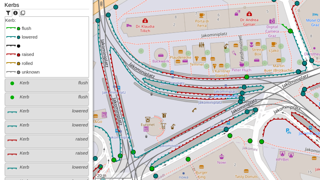
29 December 2022 کوں English وچ skunk دی طرفوں پوسٹ کیتا ڳیا.This new category shows kerbs (the edge where a road meets a sidewalk). Read more about this in the OpenStreetMap Wiki. The category uses the colours from the Wiki page. Popups will show additional information: type of kerb (lowered, raised, …), they wheelchair accessibility (if set), if the kerb has tactile paving and the height.
For discussion, please go to the OpenStreetMap Community Forum.
بحث مباحثہ