OpenStreetMap logo OpenStreetMap

Users' Diaries

Recent diary entries

Posted by Ayush Dhar Dubey on 8 June 2025 in English. Last updated on 29 August 2025.

The Community Bonding Period officially wrapped up on June 1, and the coding phase is already off to a solid start.

During CBP, we successfully migrated the legacy 3DMR repo from GitLab to the new official GitHub repo. This cleanup made collaboration and discussions way easier. I also dove into pygltflib to handle glTF files, experimented with the obj2gltf converter.

I spent a good chunk of time mapping with the iD and JOSM editors, focusing on features from my home village. It’s oddly satisfying to see buildings you’ve walked past for years show up as polygons and tags. I plan to keep adding more local features whenever time allows. I experimented rendering both my mapped data and some iconic Indian landmarks using OSM2World, let’s just say it made my village look unexpectedly fancy.

With coding underway, my first priority was building out the test suite. The project didn’t have one before, which would’ve made every upgrade feel like defusing a bomb in the dark. I’ve opened a PR for it, currently under review. While working on this, I found a few minor bugs lurking quietly in the codebase for years, filed them, fixed them, and thankfully had those PRs merged.

The Django 5.2 upgrade is nearly done and is clinging on my forked repo as i am writting this… Most dependency updates and refactoring are complete. Now I’m exploring edge cases, making sure nothing’s hiding in the shadows ready to throw a 500 error when nobody’s looking. Once the test suite merges, we’ll be in a much safer spot to modernize the stack.

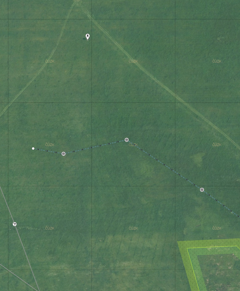
On the personal side: I’m a long-distance runner and have been using summer break to improve my endurance. I run 5 to 7 kilometers daily, a good counterbalance to all the screen time, long debugging sessions, and occasional existential dread that come with working through old code 🙃. I also have a few books lined up, both fiction and non-fiction, hoping to get through them—unless I get distracted again.

See full entry

Location: Anchla Nawadih, Garhwa, Jharkhand, 822114, India

Für wen? Alle Wesen von 12-18 Jahre

Wann? vom 23.05. bis 18.07.2025 alle 2 Wochen Freitags 16-20 Uhr
Wo? In der machBar auf dem freiLand-Gelände beim Hauptbahnhof Potsdam

Digitale Karten sind eine tolle Hilfe, um sich zurecht zu finden. Deshalb ist es wichtig, dass sie für alle zugänglich sind und die Infos enthalten, die wir brauchen. Mit der OpenStreetMap können wir selbst dazu beitragen, dass das so ist!

Wir schauen uns gemeinsam an, wie die Karte funktioniert, was wir damit alles machen können und werden selbst aktiv: wir kartieren Dinge, die uns interessieren und korrigieren Fehler – jedes Mal auf eine andere Weise. Wir können uns eigene Karten zusammenbauen, uns von der Karte Fragen beantworten lassen und sogar Dinge mit unseren Lieblings-Karteninhalten gestalten.

23.05.: Einführung und Mapping mit der App StreetComplete
06.06.: Mapping mit FieldPapers, Übertragung in die OSM mit JOSM
20.06.: Input zu räumlichen Barrieren und Mapping für die Wheelmap Potsdam
04.07.: Beispiel-Rundgang und eigene Themen-Karte erstenn mit Umap
18.07.: Kartendaten als Vektorgrafik ausspielen und sticken/lasern/plotten

Mehr Infos und Anmeldung: https://jugendhackt.org/lab/potsdam/

Location: Teltower Vorstadt, Potsdam, Brandenburg, 14473, Deutschland
Posted by rphyrin on 8 June 2025 in English. Last updated on 10 June 2025.

Recently, I needed to open my OpenStreetMap profile—just to right-click and save my own profile picture for use on another platform.

Thanks to the newly redesigned OSM profile layout, I was greeted by a few new statistics—one of which showed how many comments my last diary post had received. While I was busy grabbing my avatar, I couldn’t help but notice that my recent diary post had garnered quite a bit of discussion.

To my surprise, at least two commenters pointed out the same thing : they suggested it would be more intuitive if the value reflected actual months, rather than “something that roughly represents the progress of the year in base-10.”

That got me thinking—how hard would it be to convert that base-10 year-progress value into something closer to a conventional month (base-12)?


Step 1: Extract the Year

To compute the year from an OSM timestamp (Unix time), we start by offsetting it from a known reference point—specifically, the Unix timestamp for the start of the year 2000.

(osm_timestamp - 946692127) / 31556952
  • 946692127 is the Unix timestamp for Sat Jan 01 2000 02:02:07 GMT+0000. This value was arbitrarily chosen by me (high accuracy isn’t necessary; I just needed a reference point roughly around the year 2000).
  • 31556952 is the average number of seconds in a year (365.2425 days).

This gives us a floating-point number: the integer part is the year offset from 2000.

To extract the integer part (representing the year), we can substring the first 2 character:

substring(divided_by(osm_timestamp - 946692127, 31556952), 0, 2)

Oh wait!

While writing this post, I stumbled upon a small but interesting bug from the initial release.

Originally, the code extracted the first three characters of the computed year value. This worked fine for double-digit years like 2010 and beyond—10.5 would yield “10.”, which was sufficient for identifying the year and using the decimal as a makeshift separator between year and month.

See full entry

As OpenStreetMap becomes a central part of global mapping infrastructure, it’s worth asking:

Are corporations offering as much or more as they are getting from their OSM involvement?

Some corporations benefit enormously from OSM using it to build commercial services, run logistics, and analyze market data. But these same companies often have access to large, rich datasets, especially from telemetry and user behavior, that are far beyond what the average contributor can collect.

If shared, such data could dramatically improve OSM’s accuracy, completeness, and utility. But how much of this data is actually being shared?

There’s a tension here between open knowledge and proprietary advantage. While some companies do contribute back through edits, funding, or tools, the scale of these contributions doesn’t always match the value extracted.

This leads to deeper questions: - Is the current model of corporate engagement with OSM sustainable? - Are the benefits of the open model being eroded when sharing isn’t reciprocal? - Could new norms or frameworks encourage deeper, more equitable collaboration?

The OSM community thrives on openness, transparency, and volunteerism. As more private actors join, the long-term health of the ecosystem may depend on whether those values are upheld not just by individuals, but by corporations as well.

My parents had rented a barge to explore the Barrow Navigation in Ireland for a week. I joined them on three days to capture water-level imagery with my GoPro (and to catch up with them as well). There are unfortunately 1.7km missing where the battery of the camera ran out, and there was no place to moore to exchange or charge it.

All the images are uploaded to Mapillary (Sequence key for 1st sequence: l2Yx6tGPdI9qRUAwZLvTFe) and Panoramax (Sequence key for 1st sequence: 7fe2a04f-e18c-4cf3-8bb5-48af1d1cf7ad); there were 2,446 in total, if I remember correctly. This being Ireland, of course it rained for some bits of it, so the images between Carlow and Athy are a bit blurry.

inside Bestfield Lock

See full entry

Location: Ballyknockan, The Municipal District of Muinebeag, County Carlow, Leinster, Ireland

2025年5月24日(土)神奈川県横浜市の上大岡でOpenStreetMapマッピングパーティーを開催しました。上大岡駅東口から南東方面、谷戸地形の調査散策。 Field Papersとmuramotoさん作成の地形3Dプリントを参考にしながら、崖に張り付いた谷戸的住宅街などを確認しました。高い場所へ移動して谷戸の全景をチェック、「黒船来航」で人が集まったとされる丘に移動し、横浜港方面を眺めました。その後、富士見ポイントなどに寄りつつ散策、上大岡駅に戻りました。

https://note.com/osmers_club/n/n52311b32be23

Location: 上大岡西一丁目, 上大岡西, 港南区, 横浜市, 神奈川県, 233-0002, 日本

Když se v pozdním jaru nebo na začátku léta procházíte po loukách v okolí Lipna, Frymburka nebo Českého Krumlova, občas si všimnete neznatelných změn v porostu, rovných linií, kde vegetace roste s jinou intenzitou. Nejde si nevšimnout ani častých betonových skruží uprostřed polí, nebo pastvin.

Jsou to stopy minulosti, kdy se ve velkém prováděly meliorace s cílem odvodnit zamokřené louky a přeměnit je v intenzivně využívanou zemědělskou půdu. Dnes tyto bývalé, ale stále funkční zásahy do vodního režimu krajiny znovu otevírají diskuse. Nejen mezi vědci a ochranáři, ale i mezi zemědělci a krajinnými inženýry.

Dědictví meliorací

  • Na obrázku je výřez louky s patrnými liniemi melioračních brázd u osady Skláře, nedaleko Hořic na Šumavě. Středem louky prochází hlavní odvodňovací kanál, který je osazen skružemi. Ty slouží především jako přístup k čištění. Někdy je z kanálů vyvedena voda na povrch za účelem napáječky dobytka

S tímto scriptem Overpass Turbo

See full entry

Location: Bláha, Veleslavice, Bohdalovice u Větřní, Bohdalovice, okres Český Krumlov, Jihočeský kraj, Jihozápad, 382 11, Česko

Hallo Community,

Ich habe momentan folgendes Problem. Durch unseren Ort ist ein Mapper gegangen und hat 40 von ca. 250 Hydranten gemappt. Diese sind zum Teil fehlerhaft (Falscher Standort, Falsche Typ, kein Hydrant nur Entlüftung, Löschbrunnen als Hydrant deklariert, usw…) von den 40 Stück sind es ca. 10 Stück. Die ganzen Überfluhrhydranten ca. 20 Stück ohne Rohrdurchmesser angegeben. Somit für die Feuerwehr nur bedingt brauchbar. Da der Führungskraft wieder nachsehen muss welche Leitung es ist, um das bereite gestellte Löschwasser zu berechnen.

Ich wollte darauf hin die 40 Hydranten löschen, dies wurde mir leider untersagt. Stattdessen soll ich diese alle Richtig stellen. Dies sehe ich aber nicht als meine Job. Ich kann dies gerne an die Gemeinde weitergeben, diese wollen aber dann einen Lohn für die Arbeiten. Wer übernimmt die Kosten dafür?

Was hilft es uns, wenn nur 40 von ca. 250 Hydranten in dem System sind, wir aber seit 10 Jahren ein anderes System verwenden hier jeden Hydranten mit Bild, GPS Daten, Kennzeichnung ob Einsatzbereit, usw. hinterlegt haben. Diese Jährlich überprüfen und an den Wasserzweckverand Rückmelden mit Schäden.

Die Nachbarwehren nutzen Openfiremap, diese wird mit den OSM Daten gespeist. Sollte nun eine Nachbarwehr zu uns zum Einsatz kommen und sieht in Ihrem System, das ein Hydrant in der Nähe ist, dies aber nicht stimmt?? Weil es nur eine Entlüftung ist oder ein Löschbrunnen.

Wir sind der Meinung das solche Daten von Leuten gemappt werden sollen, die eine Ahnung haben, was Sie machen. Somit die ~Zuständige~ Gemeinde / Stadt / Feuerwehr.

Was ist eure Meinung dazu??

Posted by kumakyoo on 3 June 2025 in English.

At work1, I started creating a real pedestrian routing that uses sidewalks rather than the middle of the road (unlike most pedestrian routing software nowadays). This is necessary for calculating safe routes to and from schools. In this case, it really matters which side of the road the children use and which crossing they take.

The OSM community mainly uses two methods of mapping sidewalks (and the choice between these two methods directly influences the mapping of crossings): One option is to attach them as tags to the road (for example sidewalk=both), and the other is to use separate geometry. In this post, I would like to show an example where mapping the geometry separately makes a huge difference.


A Dangerous Crossing

A dangerous crossing in Aachen

The image shows one of Germany’s most dangerous places for pedestrians, according to accident statistics 2. This crossing is located near Rothe Erde in Aachen.

The following figure, taken from a screenshot of JOSM, shows the OSM data for this crossing.3

See full entry

Location: Viktoriaviertel, Frankenberger Viertel, Aachen-Mitte, Aachen, Aachen (district), North Rhine-Westphalia, 52066, Germany

10 years + a few days ago, we held the White House Mapathon.

https://obamawhitehouse.archives.gov/blog/2015/05/28/citizen-cartographers-unite-report-first-white-house-mapathon

Over a hundred mappers gathered and livestreamed the happenings, shared stories of cool mapping projects, dialed in Peace Corps volunteers from the across the globe, and naturally mapped. There were cake pops decorated like globes. Along the walls, stunning reproductions of historic American maps provided by the Archives (I snagged a couple prints, they hang in my office to this day). Everyone dressed formal for the setting, except Alex Barth in usual attire, commenting “Wow OpenStreetMap is fancy today”.

Can you imagine that occurring today? Unimaginable. Of course not.

These kinds of convenings are by their nature fleeting. A recognition and shared touchstone for future work. Yes a bit hype-y, but grounded in real work and real opportunity. This was the era of upswing in open government, open data, the early days of 18F and USDS. The community that gathered there continued championing open mapping in the years after. Some of the most enduring are YouthMappers https://www.youthmappers.org/ and OSM US government initiatives https://openstreetmap.us/our-work/trails/.

We’re now in the age of BS. Truth or not does not matter. That comes from government and AI vibes.

See full entry

Como é habitual para mim, encontrei-me perdido em indecisões sobre como começar coisas.

Desta vez foi na sequência de uma conversa de pequeno-almoço em que estive a falar de projetos interessantes que rodem o OpenStreetMap, onde constatei que tenho que arranjar um sitio onde reunir links para mais tarde os encontrar sem ter que andar a fazer scroll em conversas de Telegram, Discord ou Mastodon.

E depois de considerar as muitas opções disponíveis sem encontrar uma ideal, decidi que o melhor é deixar de fazer planos e fazer-me à estrada.

Coisas interessantes que descobri hoje:

  • Open Architect Map - Interactive map showing the architects who created buildings and structures, based on OpenStreetMap and Wikidata.
  • Open Etymology Map - Interactive map that shows the etymology of names of streets and points of interest based on OpenStreetMap and Wikidata.